4 routes

Go hiking in Segovia with curated guides of the best hikes across the region. With over 8 3D trail maps in FATMAP, you can easily discover and navigate the best trails in Segovia.
No matter what your next adventure has in store, you can find a guide on FATMAP to help you plan your next epic trip.
Get a top hiking trail recommendation in Segovia, or get inspired by the 8 local adventures uploaded by the FATMAP community. Start exploring now!
4 routes

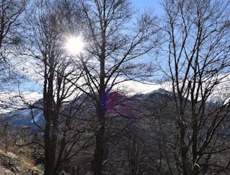
Salida desde el embalse de Riofrío, subida hasta el Calamorro de San Benito y descenso hasta el Puerto de la Quesera. Desde ahí accedemos al hayedo de Pedrosa y descendemos de nuevo hasta el embalse.
Moderate Hiking
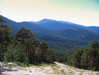
An alternative from a classic of Guadarrama range
Moderate Hiking
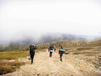
Ágora "La montaña fuente de vida"
Easy Hiking
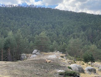
Relaxing walk through the woods.
Easy Hiking