7 routes
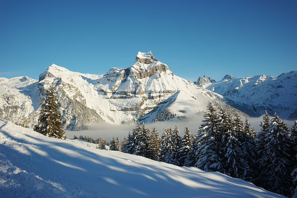
Go hiking in Obwalden with curated guides of the best hikes across the region. With over 14 3D trail maps in FATMAP, you can easily discover and navigate the best trails in Obwalden.
No matter what your next adventure has in store, you can find a guide on FATMAP to help you plan your next epic trip.
Get a top hiking trail recommendation in Obwalden from one of our 6 guidebooks, or get inspired by the 14 local adventures uploaded by the FATMAP community. Start exploring now!
7 routes
4 routes
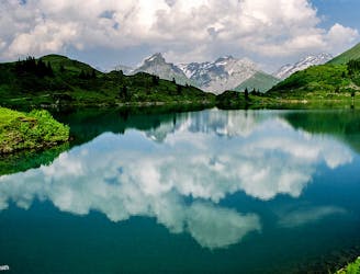
Starting off as a tough climb up to a fantastic lookout point and ending with a gentle descent.
Difficult Hiking
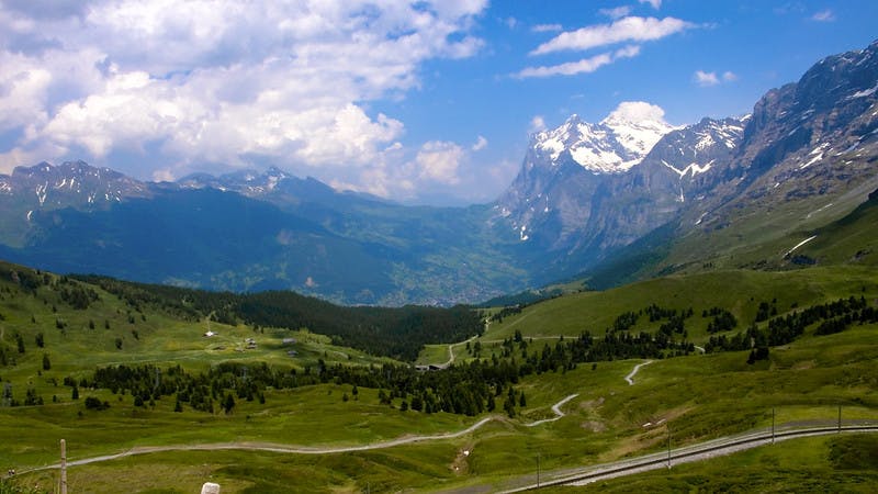
26km full of stunning views and varied terrain.
Difficult Hiking
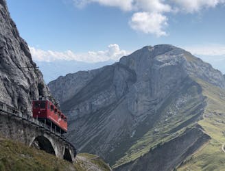
This hike will truly fulfill your stay in Lucerne.
Difficult Hiking
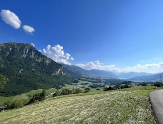
Forest walk, BBQs and amazing views of the lakes
Easy Hiking

15 routes · Hiking
3 routes · Hiking