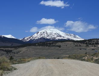
Mirkwood Uphill Route
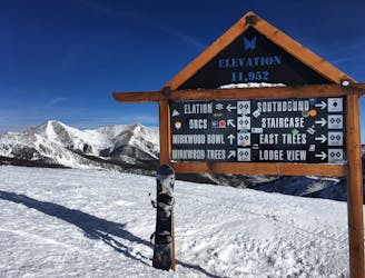
Uphill route to Monarch's legendary Mirkwood Bowl.
Moderate Resort Ski Touring
- Distance
- 1.7 km
- Ascent
- 337 m
- Descent
- 3 m
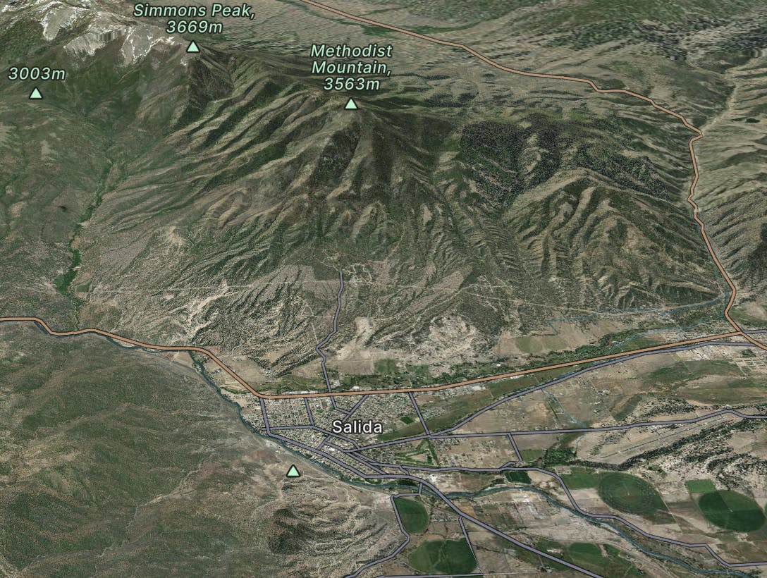
Salida
Explore Salida with curated guides of the best hiking trails, mountain bike trails, trail running routes, ski routes, and more. With over 552 3D trail maps in FATMAP, you can easily discover and navigate the best trails in Salida.
No matter what your next adventure has in store, you can find a guide on FATMAP to help you plan your next epic trip.
Get a top trail recommendation in Salida from one of our 75 guidebooks, or get inspired by the 552 local adventures uploaded by the FATMAP community. Start exploring now!
Uphill route to Monarch's legendary Mirkwood Bowl.
Moderate Resort Ski Touring

A classic mini ski tour at Monarch Mountain.
Moderate Resort Ski Touring
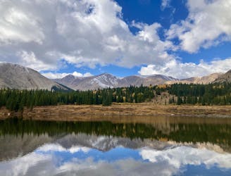
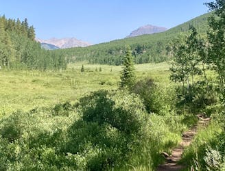
A long day hike to a little-visited alpine lake.
Moderate Hiking

Hike to a little-visited alpine lake from a trailhead on a 4x4 road
Moderate Hiking

Morning and evening uphill access, from East Village to the top of Super Bee.
Moderate Resort Ski Touring

Morning and evening uphill access, from Center Village to the top of Super Bee.
Moderate Resort Ski Touring

Morning uphill access at Copper, heading straight up from Center Village.
Moderate Resort Ski Touring

Daytime uphill access at Copper Mountain.
Difficult Resort Ski Touring

A go-to morning workout in Breckenridge.
Moderate Resort Ski Touring

Route for in-bounds skinning before the resort opens.
Moderate Resort Ski Touring

Morning uphill for lots of vertical at Breckenridge.
Moderate Resort Ski Touring
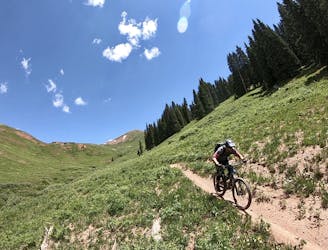
An old school feature-rich descent.
Difficult Mountain Biking
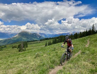
A challenging climb to one of the highest points near Crested Butte leads to a fantastic downhill.
Severe Mountain Biking
A challenging, under-the-radar backcountry ride.
Difficult Mountain Biking
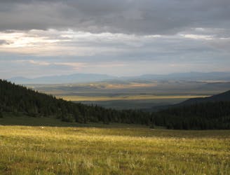
A 67-mile section of the CDT ideal as a section hike ending with one of Colorado's best 14ers - Grays Peak.
Severe Hiking
A narrow singletrack passage paralleling US-24 to the west as the CDT circles around Leadville.
Difficult Hiking