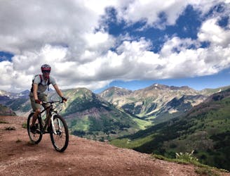
The 409s
Delightfully-technical singletrack both up and down that flies below the radar.
Severe Mountain Biking
- Distance
- 20 km
- Ascent
- 756 m
- Descent
- 756 m
An old school feature-rich descent.
Mountain Biking Difficult

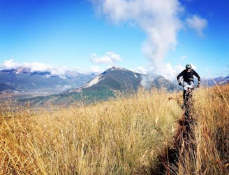
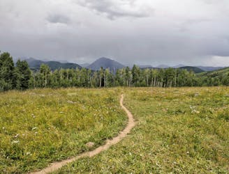
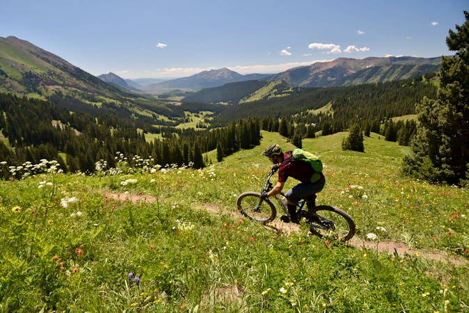
The Strawberry trail is a remote non-motorized singletrack that sees few riders, yet it's a hidden gem that is well-worth the effort to reach.
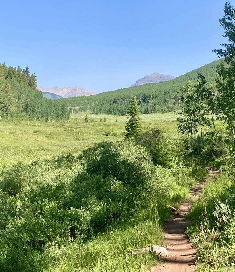
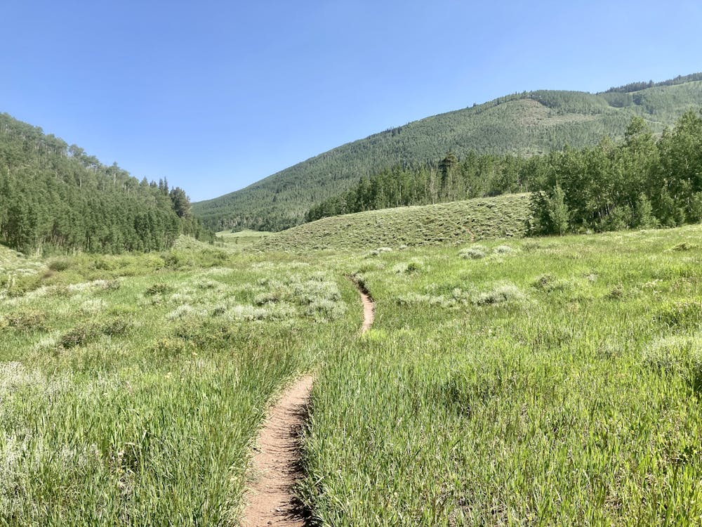
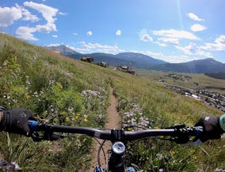
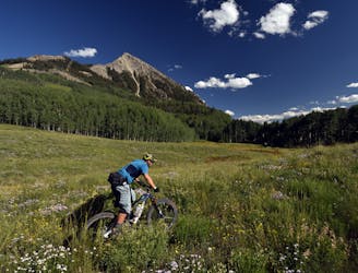
The ride begins from the standard Brush Creek Trailhead, climbing the Farris Creek road up and over the ridge and through some wide-open meadows. After a surprisingly mellow pedal, you'll reach the Farris Creek trail and then peel off onto the Strawberry trail.
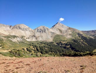
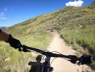
Once on Strawberry, you'll have to do a bit of steep climbing before reaching a fence line and the high point of the ride. Now, it's time to descend!
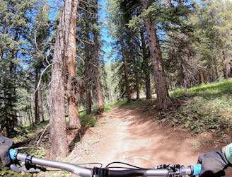
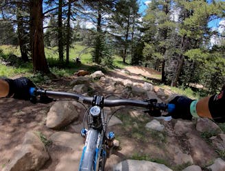
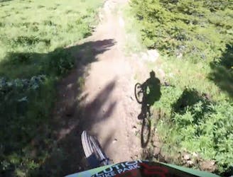
The rip down Strawberry descends old-school singletrack through a deep, dark forest. Some sections are smooth and fast, but the smooth and fast sections are punctuated by substantial technical obstacles. Most of these can be bypassed, but if you don't, you can blast through several burly rock gardens, ledge drops, rock rolls, and steep chutes. Off to the right-hand side are several optional jumps and drops to make things even rowdier, if you so desire.
This is a truly rad old-school rip, and with the multiple line options, you can make it as technical or as tame as you want to. If you send all of the features, this trail could easily get a "Severe" FATMAP rating. But if you route around the most difficult spots, this route only scores a "Difficult" rating.
Finish up the ride with a romp down the stunning Death Pass trail to Strand Bonus and Canal, and you'll quickly be back to your car.
Difficult
Mostly stable trail tread with some variability featuring larger and more unavoidable obstacles that may include, but not be limited to: bigger stones, roots, steps, and narrow curves. Compared to lower intermediate, technical difficulty is more advanced and grades of slopes are steeper. Ideal for upper intermediate riders.

The trail contains some obstacles such as outcroppings and rock which could cause injury.

Little chance of being seen or helped in case of an accident.
Delightfully-technical singletrack both up and down that flies below the radar.
Severe Mountain Biking
1 m away
Ambitious loop up to the top of Star Pass and back down.
Severe Mountain Biking
2 m away
Epic views from the top of Teocalli Ridge give way to a ripping descent all the way back down to the valley floor on this classic Crested Butte route.
Difficult Mountain Biking
2 m away
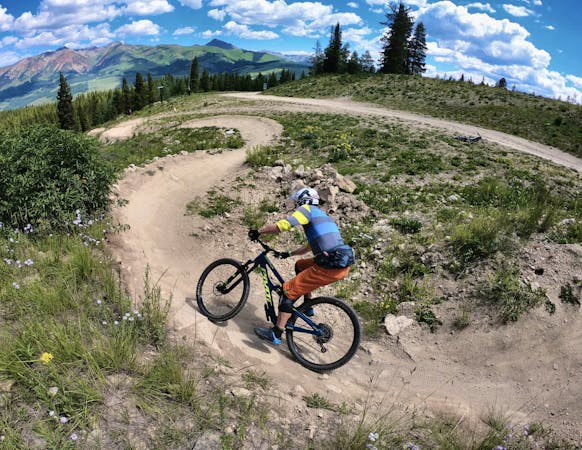
Short but steep and fast descents in a tightly-wound trail network.
Moderate Mountain Biking
4.6 km away
One of the easiest trails in the Crested Butte Bike Park.
Easy Mountain Biking
4.6 km away
A delightful romp through the aspens, without the difficult climb.
Moderate Mountain Biking
4.6 km away
An old school downhill race run-style tech trail with something for everyone.
Severe Mountain Biking
4.6 km away
Crested Butte's classic black diamond jump run.
Severe Mountain Biking
4.6 km away
Stunning rip down two-way singletrack that returns you to the bottom of the chairlift.
Difficult Mountain Biking
4.6 km away
An absolutely fantastic rip that may have you wondering what the point of pedaling up Schofield Pass is.
Difficult Mountain Biking
12 routes · Mountain Biking
12 routes · Mountain Biking
5 routes · Mountain Biking
6 routes · Mountain Biking