1 m away
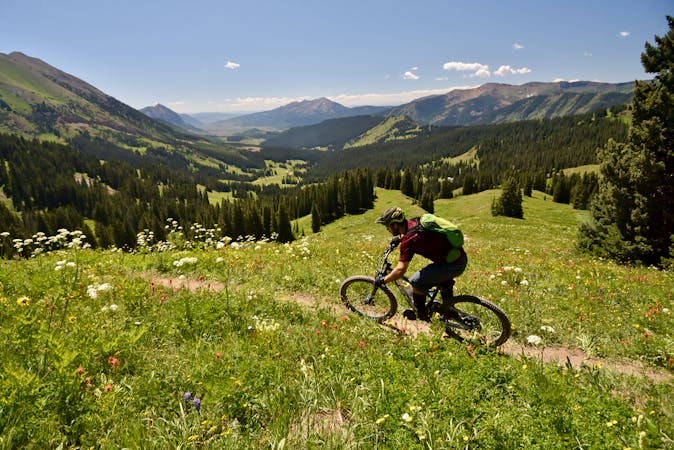
Teocalli Ridge
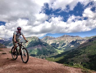
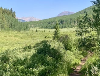
Epic views from the top of Teocalli Ridge give way to a ripping descent all the way back down to the valley floor on this classic Crested Butte route.
Difficult Mountain Biking
- Distance
- 30 km
- Ascent
- 905 m
- Descent
- 905 m
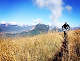
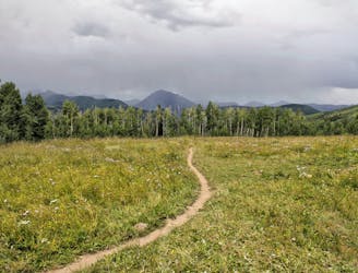
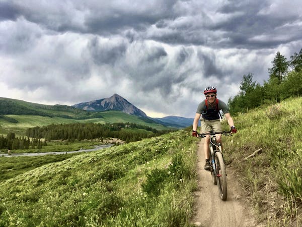
Ambitious loop up to the top of Star Pass and back down.
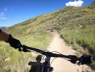
Mountain Biking Severe

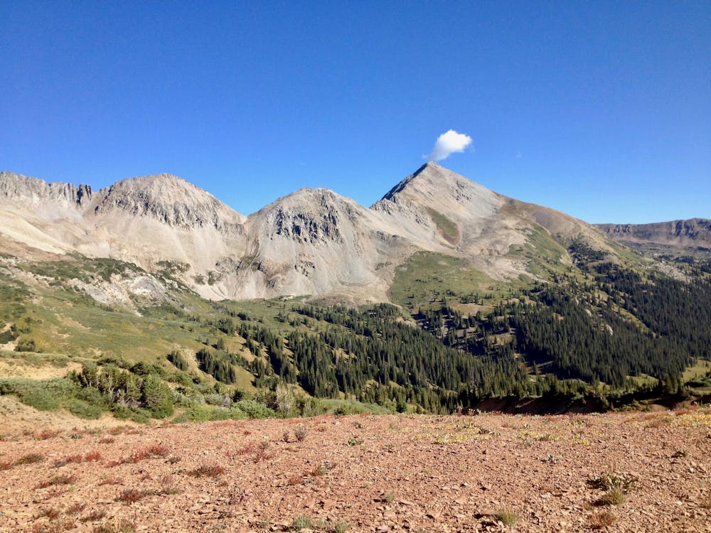
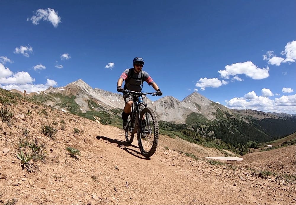
This is an ambitious loop that takes you high above tree line on the Crystal Peak trail, with the eventual goal of Star Pass. While this 35-mile loop with over 6,000 feet of climbing is substantial, the views from the top of Star Pass are to die for! On top of the Pass, you're truly above treeline and are surrounded by jagged mountain peaks and alpine tundra. While trails like 401 barely sneak above treeline, Star Pass is truly in the tundra—you'll top out at 12,336 feet above sea level!
This route begins from the trailhead on Brush Creek Road and climbs up and over the ridge on the 409 Trail, descending the technical Caves Trail. Once into the Cement Creek drainage, it's a long climb to the Crystal Peak trail.
Once on Crystal Peak, the climb continues, only on steep singletrack. Quickly you'll break out into the alpine--prepare to spend miles enjoying the above treeline singletrack!
After crossing a saddle, you'll drop down and then climb back up on the Brush Creek Trail to reach Star Pass.
Finally, it's (almost) all downhill from here! The descent down Brush Creek is fast, furious, and technical. Exercise caution, as this trail has proved deadly in the past. As long as you maintain some caution, enjoy the high-speed rock-filled descent as you rip back down into treeline, then continue on down the mountain, splashing through creeks and rattling through babyheads. The singletrack widens into a doubletrack and then a dirt road, but the descent continues all the way back down to your car (save for a few small climbs).
Severe
Widely variable, narrow trail tread with steeper grades and unavoidable obstacles of 15in/38cm tall or less. Obstacles may include unavoidable bridges 24in/61cm wide or less, large rocks, gravel, difficult root sections, and more. Ideal for advanced-level riders.

The trail contains some obstacles such as outcroppings and rock which could cause injury.

In the high mountains or remote conditions, all individuals must be completely autonomous in every situation.
1 m away
Epic views from the top of Teocalli Ridge give way to a ripping descent all the way back down to the valley floor on this classic Crested Butte route.
Difficult Mountain Biking
1 m away
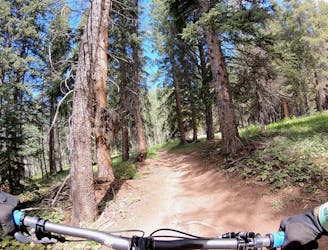
Delightfully-technical singletrack both up and down that flies below the radar.
Severe Mountain Biking
1 m away
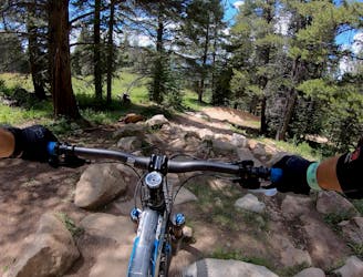
An old school feature-rich descent.
Difficult Mountain Biking
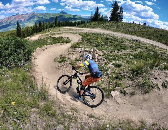
2 m away
Short but steep and fast descents in a tightly-wound trail network.
Moderate Mountain Biking
4.6 km away
One of the easiest trails in the Crested Butte Bike Park.
Easy Mountain Biking
4.6 km away
A delightful romp through the aspens, without the difficult climb.
Moderate Mountain Biking
4.6 km away
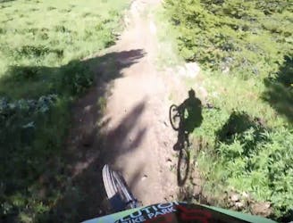
An old school downhill race run-style tech trail with something for everyone.
Severe Mountain Biking
4.6 km away
Crested Butte's classic black diamond jump run.
Severe Mountain Biking
4.6 km away
Stunning rip down two-way singletrack that returns you to the bottom of the chairlift.
Difficult Mountain Biking
4.6 km away
An absolutely fantastic rip that may have you wondering what the point of pedaling up Schofield Pass is.
Difficult Mountain Biking
12 routes · Mountain Biking
12 routes · Mountain Biking
5 routes · Mountain Biking
6 routes · Mountain Biking