2 m away
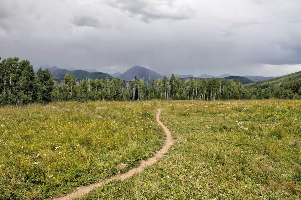
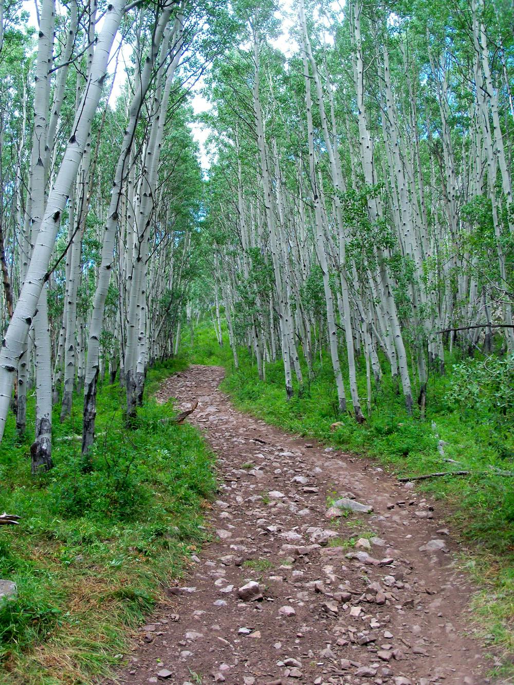
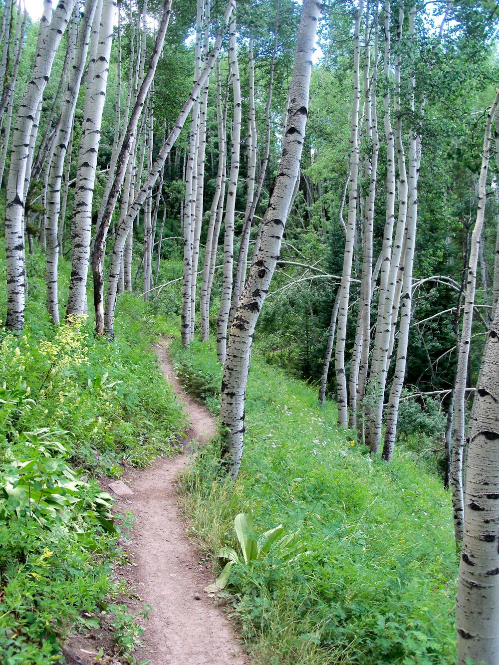
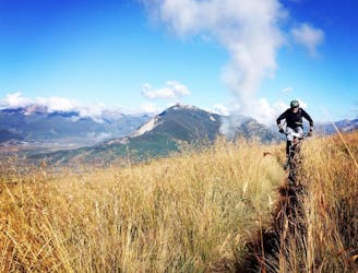
Strawberry Loop
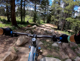
An old school feature-rich descent.
Difficult Mountain Biking
- Distance
- 19 km
- Ascent
- 482 m
- Descent
- 482 m
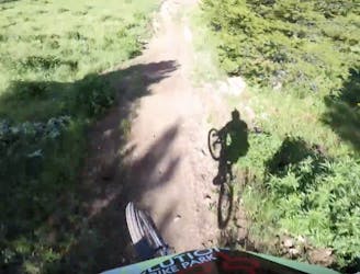
Short but steep and fast descents in a tightly-wound trail network.
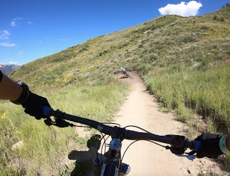
Mountain Biking Moderate

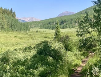
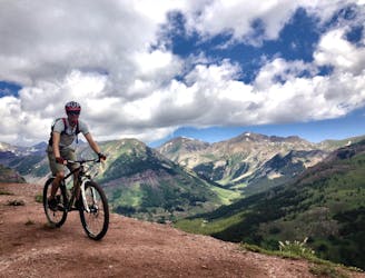
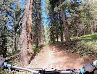
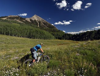
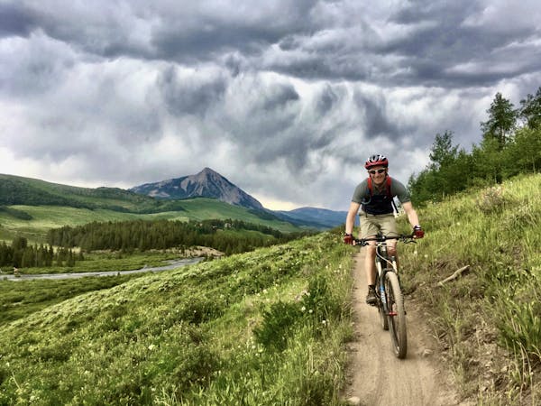
On the surface, the Strand Hill network might not look that impressive next to the other trail offerings in the Crested Butte area, but this easily-accessible trail system packs a big punch in a small area. The descents at Strand are quite short, but what they lack in length they more than make up for in steepness, speed, flow, and smiles-per-miles.
Thanks to its low elevation, the Strand Hill Trail System opens up earlier than many CB-area trails and stay open later in the winter. This network can sometimes be a great place to avoid afternoon monsoons in the summertime if you're trying to squeeze two rides into a day.
Whether you choose to climb the road or pedal up the singletrack as shown here, the main descent down is fast and furious. The narrow singletrack swoops in and out of a valley, with naturally-banked turns. A few big roots and short rock gardens will keep you on your toes, but overall these trails are a great choice for intermediate riders. The climb can be a bit of a steep grunt, but like everything at Strand, it's over quickly.
Note: The Canal Trail along the base of the mountain can sometimes have very steep stream crossings when the drainage ditch is flowing wide-open.
Sources: https://crestedbuttemountainbike.com/rides/intermediate-standard-strand-mountain-bike-loop/
Moderate
Mostly stable trail tread with some variability, with unavoidable obstacles 8in/20cm tall or less. Other obstacles such as rock gullies and steep sections may exist. Ideal for lower intermediate riders.

The trail contains some obstacles such as outcroppings and rock which could cause injury.
Away from help but easily accessed.
2 m away
An old school feature-rich descent.
Difficult Mountain Biking
2 m away
Delightfully-technical singletrack both up and down that flies below the radar.
Severe Mountain Biking
2 m away
Ambitious loop up to the top of Star Pass and back down.
Severe Mountain Biking
3 m away
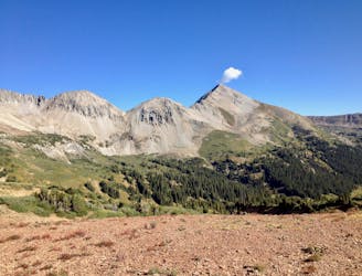
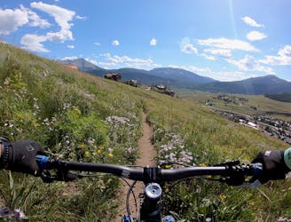
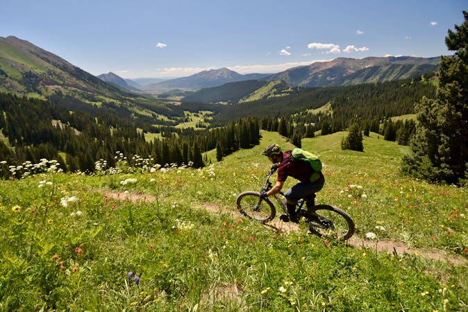
Epic views from the top of Teocalli Ridge give way to a ripping descent all the way back down to the valley floor on this classic Crested Butte route.
Difficult Mountain Biking
4.6 km away
One of the easiest trails in the Crested Butte Bike Park.
Easy Mountain Biking
4.6 km away
A delightful romp through the aspens, without the difficult climb.
Moderate Mountain Biking
4.6 km away
An old school downhill race run-style tech trail with something for everyone.
Severe Mountain Biking
4.6 km away
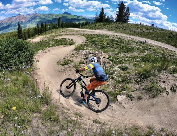
Crested Butte's classic black diamond jump run.
Severe Mountain Biking
4.6 km away
Stunning rip down two-way singletrack that returns you to the bottom of the chairlift.
Difficult Mountain Biking
4.6 km away
An absolutely fantastic rip that may have you wondering what the point of pedaling up Schofield Pass is.
Difficult Mountain Biking
12 routes · Mountain Biking
12 routes · Mountain Biking
5 routes · Mountain Biking
6 routes · Mountain Biking