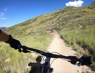
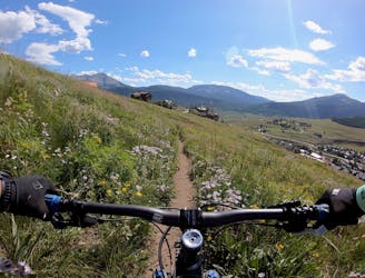
1 m away
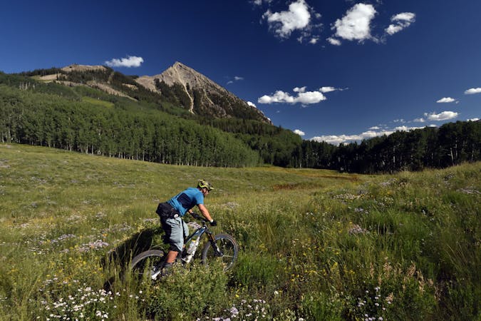
Crystal Peak / Star Pass Big Loop
Ambitious loop up to the top of Star Pass and back down.
Severe Mountain Biking
- Distance
- 56 km
- Ascent
- 1.8 km
- Descent
- 1.8 km
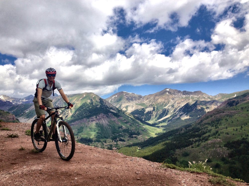
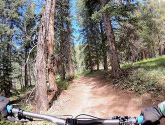
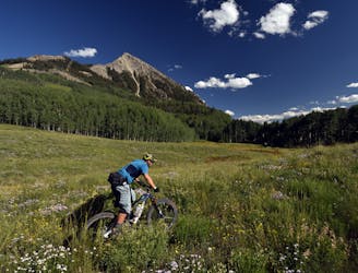
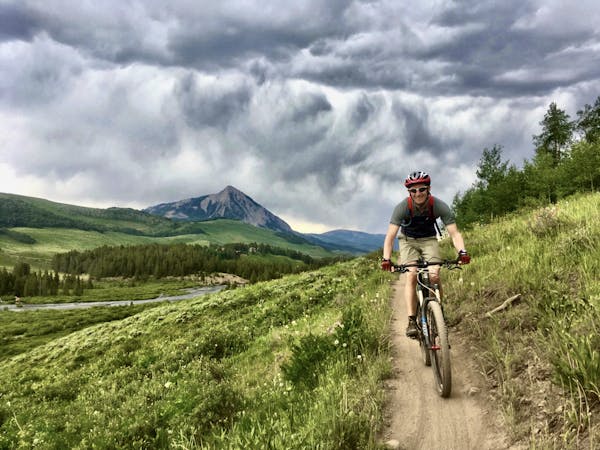
Epic views from the top of Teocalli Ridge give way to a ripping descent all the way back down to the valley floor on this classic Crested Butte route.
Mountain Biking Difficult

Like all big mountain rides in Central Colorado, Teocalli Ridge begins with a never-ending slog up a 4x4 road that gives way to doubletrack. Eventually the doubletrack turns to singletrack high up on the side of Teocalli Ridge, with gorgeous views of the Brush Creek drainage helping to distract from the searing pain of the steep climb.
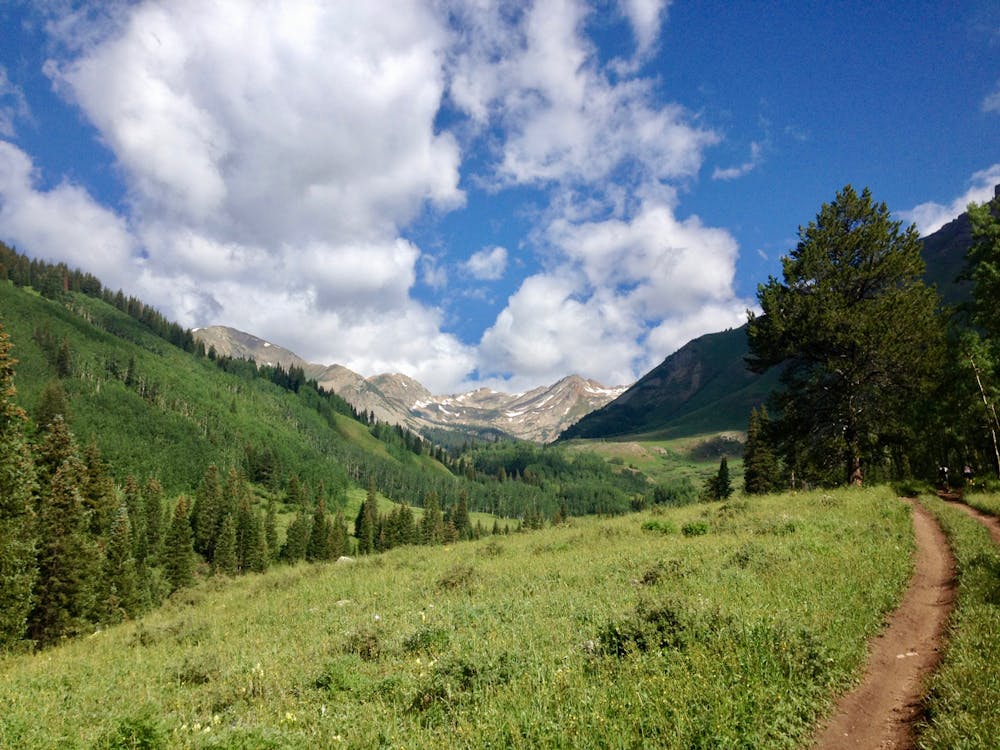
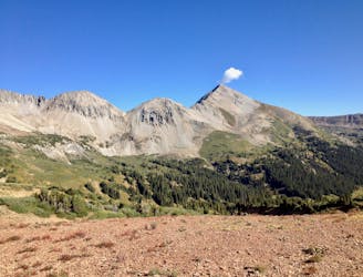
A breathtaking view of the Maroon Bells - Snowmass Wilderness greets riders at the high point of the route. Due to its north/northeast location in the Crested Butte trail network, this is one of the very best views of the Maroon Bells area available from a bike-legal trail. Take a few minutes (or longer) to soak in the view and enjoy a granola bar or a sandwhich--you've earned it!
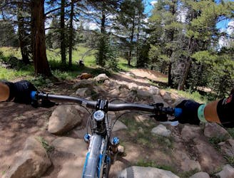
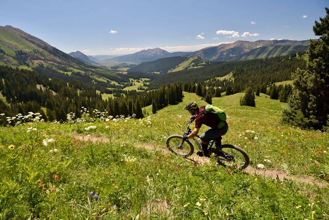
The descent off of Teocalli ridge begins fast and furious on old school forest service singletrack that drops steep and fast over rocks, boulders, and root webs. The first section is hands-down the most challenging part of the route.
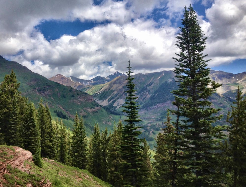
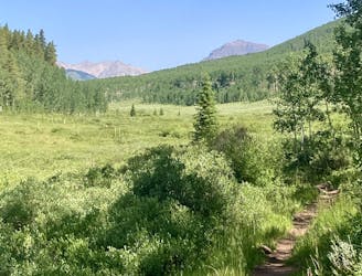
Roughly 1/3 of the way down the character of the trail changes dramatically as it transitions into singletrack that was rerouted by the Forest Service just a few years ago. Here the singletrack is much more sustainable, but that sustainability spells more and tighter corners, with plenty of switchbacks that mandate slower speeds. However, many of the corners have respectable berms, helping riders maintain speed through this twisty--but still enjoyable--singletrack.
Difficult
Mostly stable trail tread with some variability featuring larger and more unavoidable obstacles that may include, but not be limited to: bigger stones, roots, steps, and narrow curves. Compared to lower intermediate, technical difficulty is more advanced and grades of slopes are steeper. Ideal for upper intermediate riders.

The trail contains some obstacles such as outcroppings and rock which could cause injury.

In the high mountains or remote conditions, all individuals must be completely autonomous in every situation.
1 m away
Ambitious loop up to the top of Star Pass and back down.
Severe Mountain Biking
2 m away
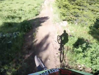
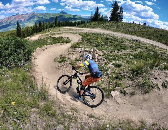
An old school feature-rich descent.
Difficult Mountain Biking
2 m away
Delightfully-technical singletrack both up and down that flies below the radar.
Severe Mountain Biking
3 m away
Short but steep and fast descents in a tightly-wound trail network.
Moderate Mountain Biking
4.6 km away
One of the easiest trails in the Crested Butte Bike Park.
Easy Mountain Biking
4.6 km away
A delightful romp through the aspens, without the difficult climb.
Moderate Mountain Biking
4.6 km away
An old school downhill race run-style tech trail with something for everyone.
Severe Mountain Biking
4.6 km away
Crested Butte's classic black diamond jump run.
Severe Mountain Biking
4.6 km away
Stunning rip down two-way singletrack that returns you to the bottom of the chairlift.
Difficult Mountain Biking
4.6 km away
An absolutely fantastic rip that may have you wondering what the point of pedaling up Schofield Pass is.
Difficult Mountain Biking
12 routes · Mountain Biking
12 routes · Mountain Biking
5 routes · Mountain Biking
6 routes · Mountain Biking