5.4 km away
Crystal Peak -> Hunters Creek Lollipop
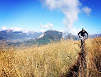
A challenging climb to one of the highest points near Crested Butte leads to a fantastic downhill.
Severe Mountain Biking
- Distance
- 31 km
- Ascent
- 1.1 km
- Descent
- 1.1 km
A challenging, under-the-radar backcountry ride.
Mountain Biking Difficult

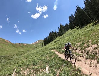
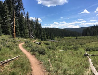
This loop in the Cement Creek zone mashes up a few popular trails with a little-ridden singletrack gem that's totally legal but stays well under the radar. Part of the reason this trail, Waterfall Cutoff, stays under the radar is that this loop demands a challenging 3,500 feet of climbing with plenty of hike-a-bike mixed in—enough to scare away plenty of riders.
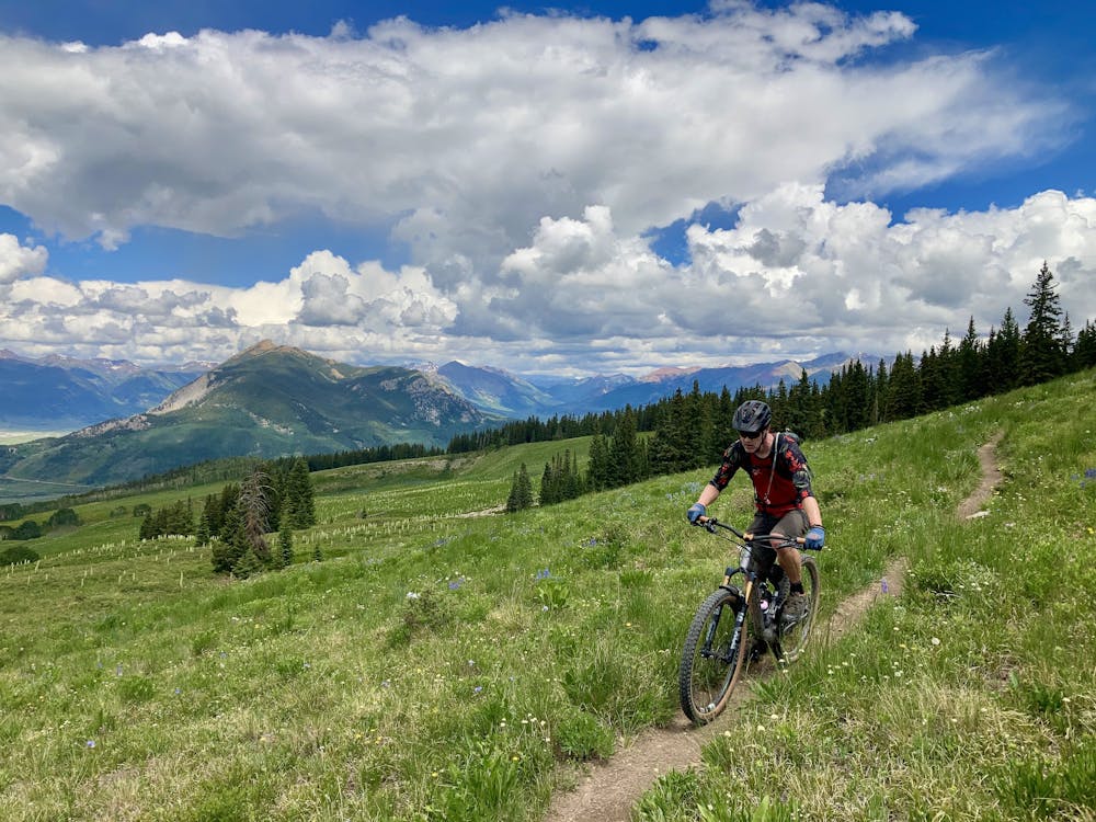
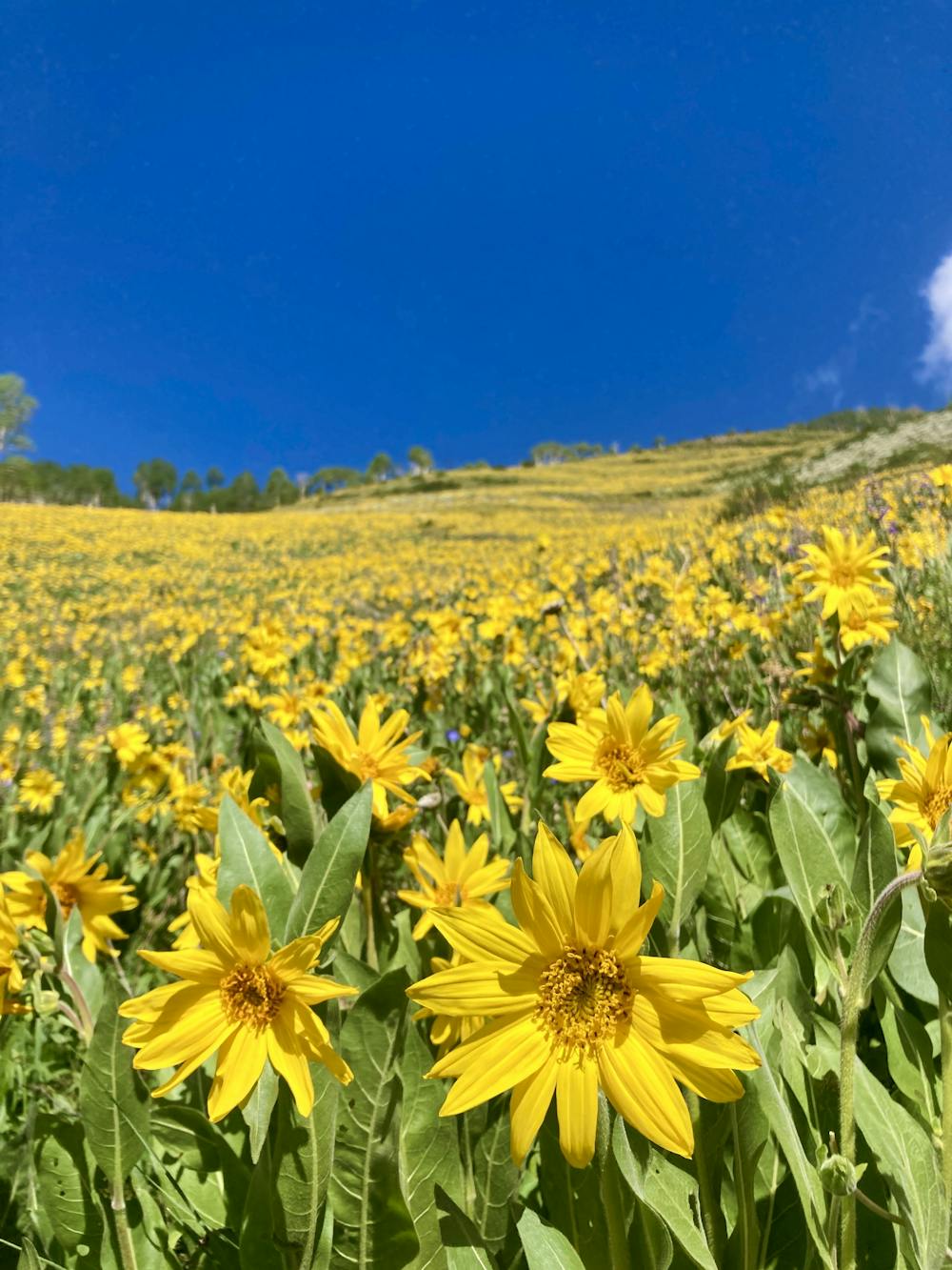
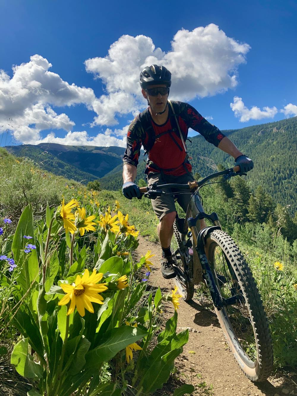
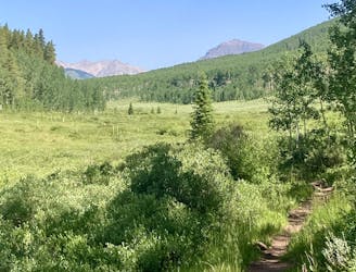
The route begins on the beautiful Walrod Cutoff trail, providing the first section of climbing through stunning fields of wildflowers in the early summer. After turning onto Point Lookout, the climbing continues in earnest, and you can expect to see more people during this middle section of the ride. Even though you'll be suffering, the views from this beautiful trail are absolutely stunning, with incredible vistas toward Mount Crested Butte and beyond.
After dropping down some burly motoed out singletrack on Doubletop, you'll connect into the faint Waterfall Cutoff trail. The turn onto the grassy singletrack can be difficult to spot, as it's a bit hidden to help keep the motorcycles off of it. Be sure to download this map for offline use so that you can reference it and find the turn correctly. Once you're several yards into the trail, you'll spot a trail sign that will indicate you that you're heading in the right direction.
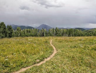
This remote singletrack gem is absolutely gorgeous, traversing through stunning aspen groves, alpine meadows, and exposed cliffside singletrack. The descents are fast and furious, but you'll still have to pay with a few short but steep climbs. The trail itself is narrow and somewhat overgrown in places, but it's still quite rideable. This old-school trail is what mountain biking used to be: adventuring deep into the mountains on faint trails, seeing how far you could push both your bike and your body!
Difficult
Mostly stable trail tread with some variability featuring larger and more unavoidable obstacles that may include, but not be limited to: bigger stones, roots, steps, and narrow curves. Compared to lower intermediate, technical difficulty is more advanced and grades of slopes are steeper. Ideal for upper intermediate riders.

The trail contains some obstacles such as outcroppings and rock which could cause injury.

Little chance of being seen or helped in case of an accident.
5.4 km away
A challenging climb to one of the highest points near Crested Butte leads to a fantastic downhill.
Severe Mountain Biking
5.4 km away
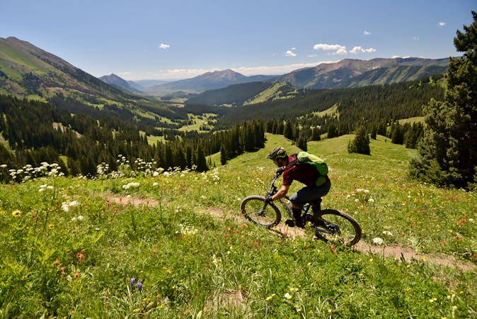
A fantastic cross country singletrack loop passing through remote terrain, with gorgeous views along the way. Arguably one of the best-quality loop rides in Crested Butte.
Difficult Mountain Biking
7.1 km away
Short but steep and fast descents in a tightly-wound trail network.
Moderate Mountain Biking
7.1 km away
Epic views from the top of Teocalli Ridge give way to a ripping descent all the way back down to the valley floor on this classic Crested Butte route.
Difficult Mountain Biking
7.1 km away
Ambitious loop up to the top of Star Pass and back down.
Severe Mountain Biking
7.1 km away
An old school feature-rich descent.
Difficult Mountain Biking
7.1 km away
Delightfully-technical singletrack both up and down that flies below the radar.
Severe Mountain Biking
12 routes · Mountain Biking
10 routes · Mountain Biking