Salzkammergut Radweg R2 Variante 3

Bad Ischl - Traunsee - Almtal (St.Konrad - possibility of the Almtal cycle path) - Attersee - Mondsee
Extreme Road Biking
- Distance
- 235 km
- Ascent
- 2.7 km
- Descent
- 2.6 km
Explore Salzburg with curated guides of the best hiking trails, mountain bike trails, trail running routes, ski routes, and more. With over 148 3D trail maps in FATMAP, you can easily discover and navigate the best trails in Salzburg.
No matter what your next adventure has in store, you can find a guide on FATMAP to help you plan your next epic trip.
Get a top trail recommendation in Salzburg from one of our 16 guidebooks, or get inspired by the 148 local adventures uploaded by the FATMAP community. Start exploring now!
Bad Ischl - Traunsee - Almtal (St.Konrad - possibility of the Almtal cycle path) - Attersee - Mondsee
Extreme Road Biking
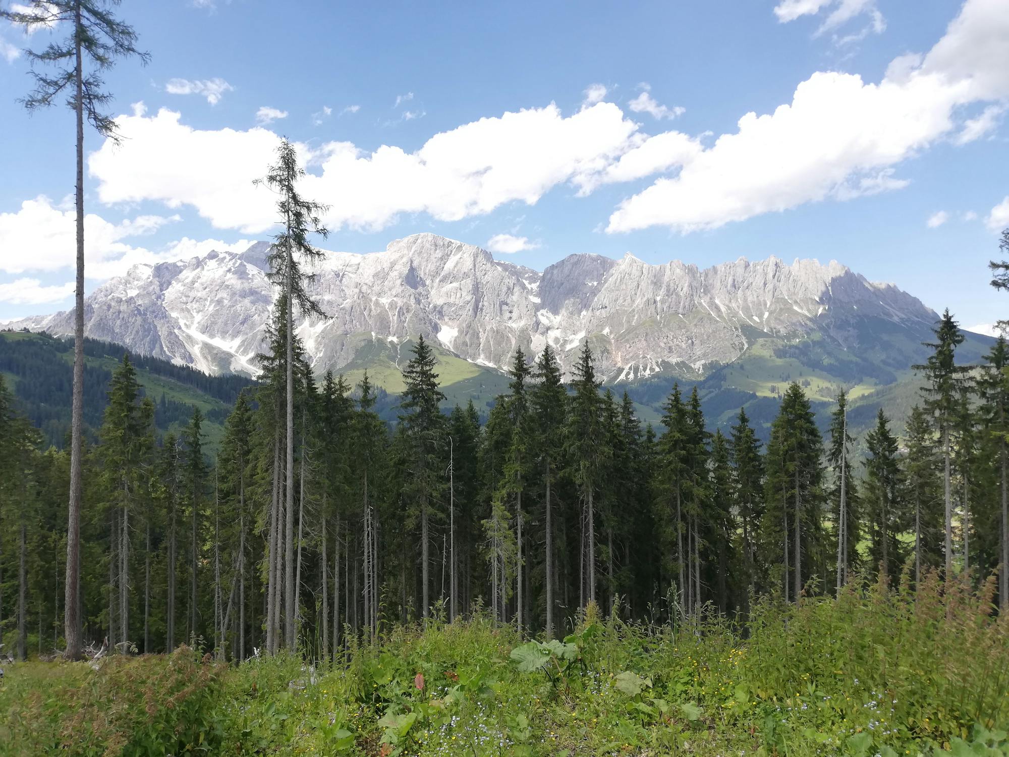
The Dachstein Circuit leads over 188 kilometres and 4,700 metres of altitude difference through three federal states, Upper Austria, Styria and Salzburg. The focus is on the Dachstein. The tour leads from Bad Goisern over the Ausseerland and the Ennstal to Gosau and back down to Bad Goisern.
Difficult Road Biking

Short hike with couloir with regular powder line alternative
Difficult Freeride Skiing

Extreme Freeride Skiing

Extreme Freeride Skiing

Extreme Freeride Skiing

Short Skitour great for training and meeting up with people in summit hut.
Easy Ski Touring
Classic ski tour in Salzburgerland
Easy Ski Touring
Round tour from Wartenfels parking that takes in Schober and Frauenkopf
Easy Hiking
Direct and fast way to the top of Gaisberg
Easy Hiking

The tour around the Dachstein includes 188 kilometers and over an altitude of 4.700 meters. You cross the three states of Austria called Upper Austria, Styria and Salzburg.
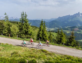
Difficult Mountain Biking

The tour around the Dachstein includes 188 kilometers and over an altitude of 4.700 meters. You cross the three states of Austria called Upper Austria, Styria and Salzburg.
Difficult Mountain Biking
A moderate climb in the valley to the Postalm for a beer
Moderate Mountain Biking

Very easy climb to the Reichenkendlkopf and a promising walk along the ridge
Moderate Hiking

Easy family walk with views of Saalbach
Easy Hiking

Take the Zwölferkogelbahn cable car up to the middle station. A section of route 8 leads to a beautifully laid out storage pond. From there, head downhill via forest roads to the Ellmaualm, the Hintermaisalm and the Grabenhütte, as well as the Schwarzacherweg back to Hinterglemm
Moderate Hiking