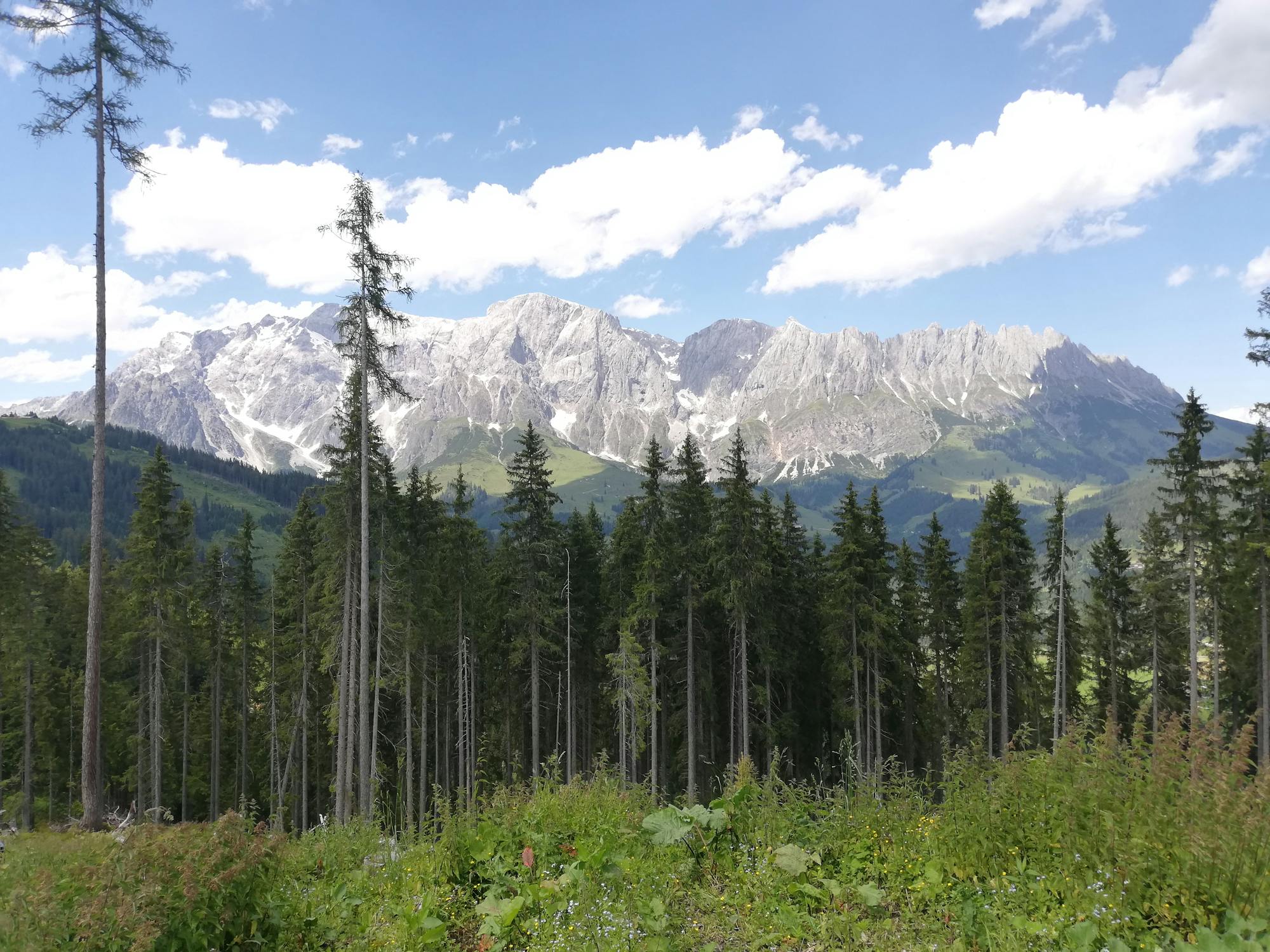
Pinzgauer Spaziergang

Wonderful panoramic hike
Easy Hiking
- Distance
- 2.2 km
- Ascent
- 241 m
- Descent
- 152 m

Explore Salzburg with curated guides of the best hiking trails, mountain bike trails, trail running routes, ski routes, and more. With over 147 3D trail maps in FATMAP, you can easily discover and navigate the best trails in Salzburg.
No matter what your next adventure has in store, you can find a guide on FATMAP to help you plan your next epic trip.
Get a top trail recommendation in Salzburg from one of our 16 guidebooks, or get inspired by the 147 local adventures uploaded by the FATMAP community. Start exploring now!


Wonderful panoramic hike
Easy Hiking

Lone mountain peak with a magnificent view
Moderate Hiking

Wonderful mountain tour in the valley of Saalbach Hinterglemm.
Moderate Hiking

Walking with a fantastic view of the Hohe Tauern mountain range
Moderate Hiking

Panoramic mountain tour to the most striking mountain of the valley.
Difficult Hiking

Demanding hike to the highest mountain of the valley.
Moderate Hiking

Unique view from the Manlitzkogel
Moderate Hiking

Unique panoramic path with a natural moor.
Difficult Hiking

Medium tour over ridge to the Spieleckkogel.
Difficult Hiking

Round trip from Lengau to the valley head of Saalbach Hinterglemm
Difficult Hiking

Where hikers and bikers meet. The trail that connects both valleys (Glemm Valley with Leogang)
Difficult Mountain Biking

A technical rooty little number
Severe Mountain Biking

Flowy trail with many berms and a few jumps
Severe Mountain Biking

A great flowy trail for everyone!
Moderate Mountain Biking

Back to the roots!
Difficult Mountain Biking

A real hidden gem
Difficult Mountain Biking