4.5 km away
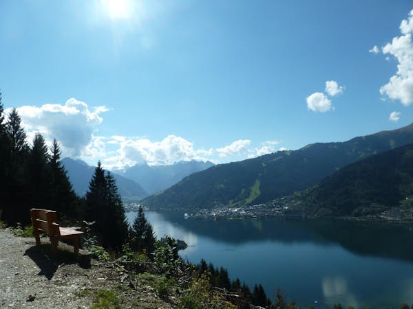
Schmittenhöhe – Ebenbergalm – Zell am See
A classic descent of the Schmittenhöhe, also known as the "4 Lakes Trail."
Moderate Hiking
- Distance
- 11 km
- Ascent
- 230 m
- Descent
- 1.4 km
Unique panoramic path with a natural moor.
Hiking Difficult

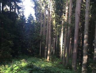
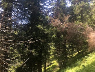
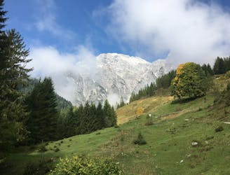
The original Saalachtal mountain trail runs from Saalbach to Spielbergtörl to Saalfelden. The starting point is at the station of the Kohlmaisbahn gondola. From here it is very varied, always through forests and over ridges to the Biberg. On the way you have a wonderful panorama with the Hohentauern with Glockner and Venediger and in the south the Kalkalpen with the Steinernen Meer, Watzmann, Hochkönig, Loferer and Leoganger Steinberge in the north
Difficult
Hiking trails where obstacles such as rocks or roots are prevalent. Some obstacles can require care to step over or around. At times, the trail can be worn and eroded. The grade of the trail is generally quite steep, and can often lead to strenuous hiking.
4.5 km away
A classic descent of the Schmittenhöhe, also known as the "4 Lakes Trail."
Moderate Hiking
5.1 km away
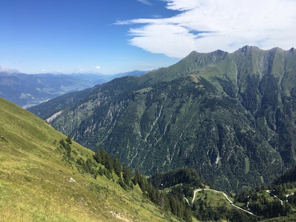
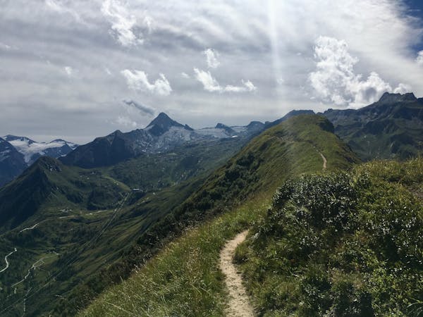
Perhaps the most beautiful high trail in the Eastern Alps.
Difficult Hiking
5.1 km away
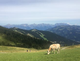
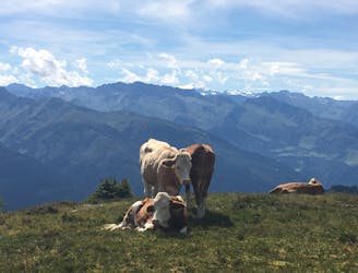
Shady woodlands, high alpine views and three traditional Austrian mountain huts.
Moderate Hiking
8.4 km away
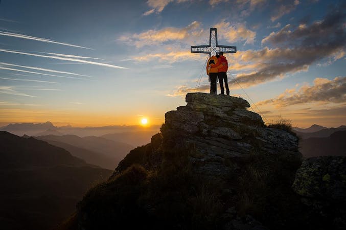
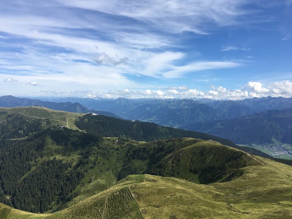
Summit the Schmittenhöhe – Zell am See's "hiker's mountain."
Difficult Hiking
9.7 km away
A scenic hike to one of the lowest glaciers in Europe
Moderate Hiking
10 routes · Hiking
3 routes · Hiking
5 routes · Hiking
3 routes · Hiking
8 routes · Hiking