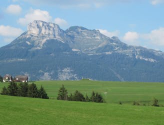
STAGE 6 BAD MITTERNDORF TO HALLSTATT

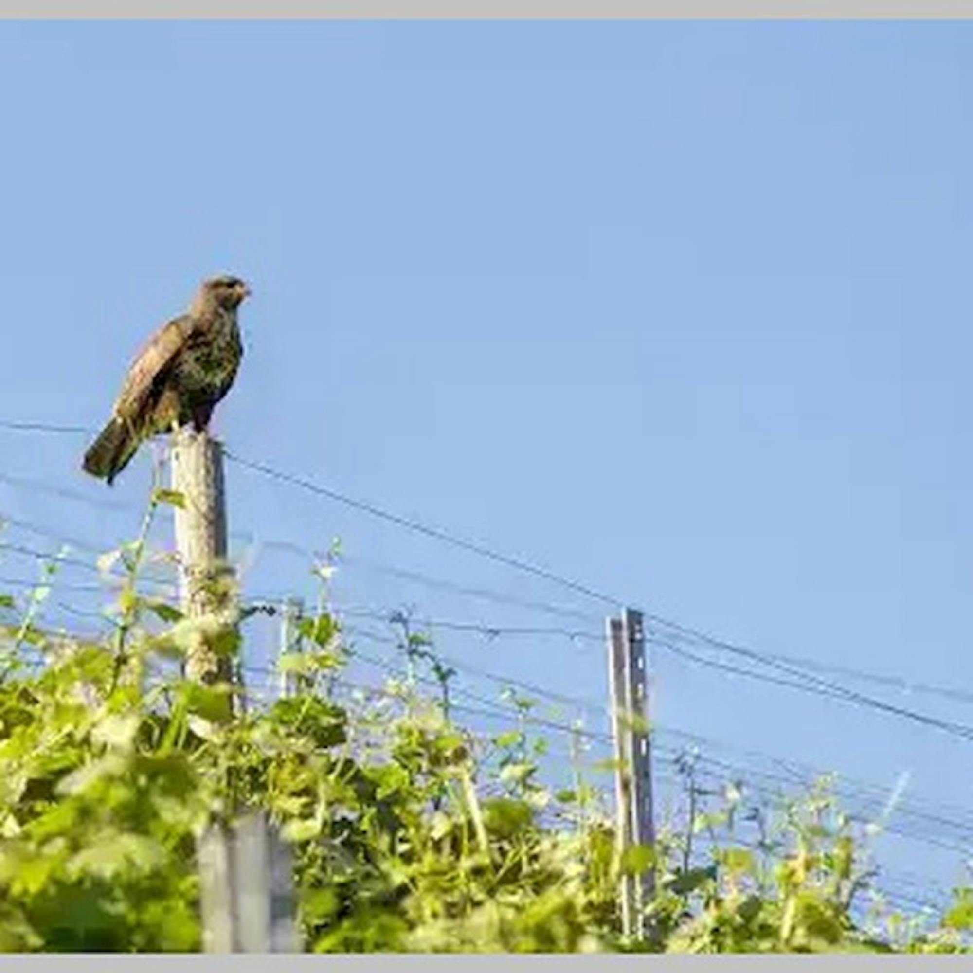
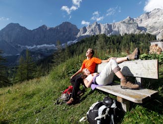
SCHRAKAMP DACHSTEIN TREK
Difficult Hiking
- Distance
- 27 km
- Ascent
- 338 m
- Descent
- 650 m
Go hiking in Steiermark with curated guides of the best hikes across the region. With over 41 3D trail maps in FATMAP, you can easily discover and navigate the best trails in Steiermark.
No matter what your next adventure has in store, you can find a guide on FATMAP to help you plan your next epic trip.
Get a top hiking trail recommendation in Steiermark from one of our 2 guidebooks, or get inspired by the 41 local adventures uploaded by the FATMAP community. Start exploring now!
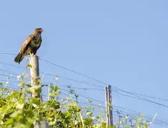
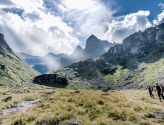
SCHRAKAMP DACHSTEIN TREK
Difficult Hiking

Dachstein Rundweg Stage 3
Difficult Hiking
Seltsame Dinge geschehen in Feldbach
Easy Hiking
Reach the top of Hochschwab via the Ghacktes grass slope.
Moderate Hiking

By Thomas Friedrich
Moderate Hiking
Two-day mountain tour with overnight stay at the Adamekhütte.
Severe Hiking
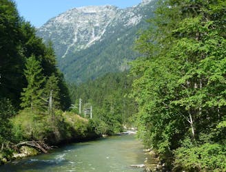
The path through the wilderness is a comfortable hiking trail through the Koppental, along the Koppentraun from Obertraun to Bad Aussee and is suitable for young and old!
Moderate Hiking
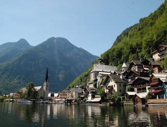
From the Steinitzenalm along the Traun and by ferry across the lake to Hallstatt.
Difficult Hiking
From Steinerhaus am Stoderzinken via Notgasse and the summit of Hochmühleck to Steinitzenalm.
Severe Hiking

From Guttenberghaus to Steinerhaus am Stoderzinken
Severe Hiking
Travel path: Albert Appel House - Wildensee - Rinnerhütte - Offensee - High path - Almsee - Ghf. Jagersimmerlh
Difficult Hiking
Guided tour: Hallstatt - by boat to the railway station - Obertraun - Koppenbrüllerhöhle - Koppenschlucht - Bad Ausseeh
Easy Hiking
Long round hiking tour with a number of peaks and huts
Moderate Hiking

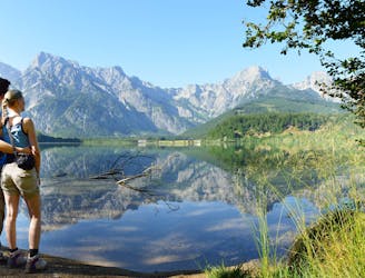
A hiking tour like no other. As you walk around the Hohen Sarstein, situated between the Aussee region and the Inner Salzkammergut, there are thousands of years of history to be experienced. The route is 45.5 km long and is sign-posted throughout. There are many points of interest along the way.
Difficult Hiking