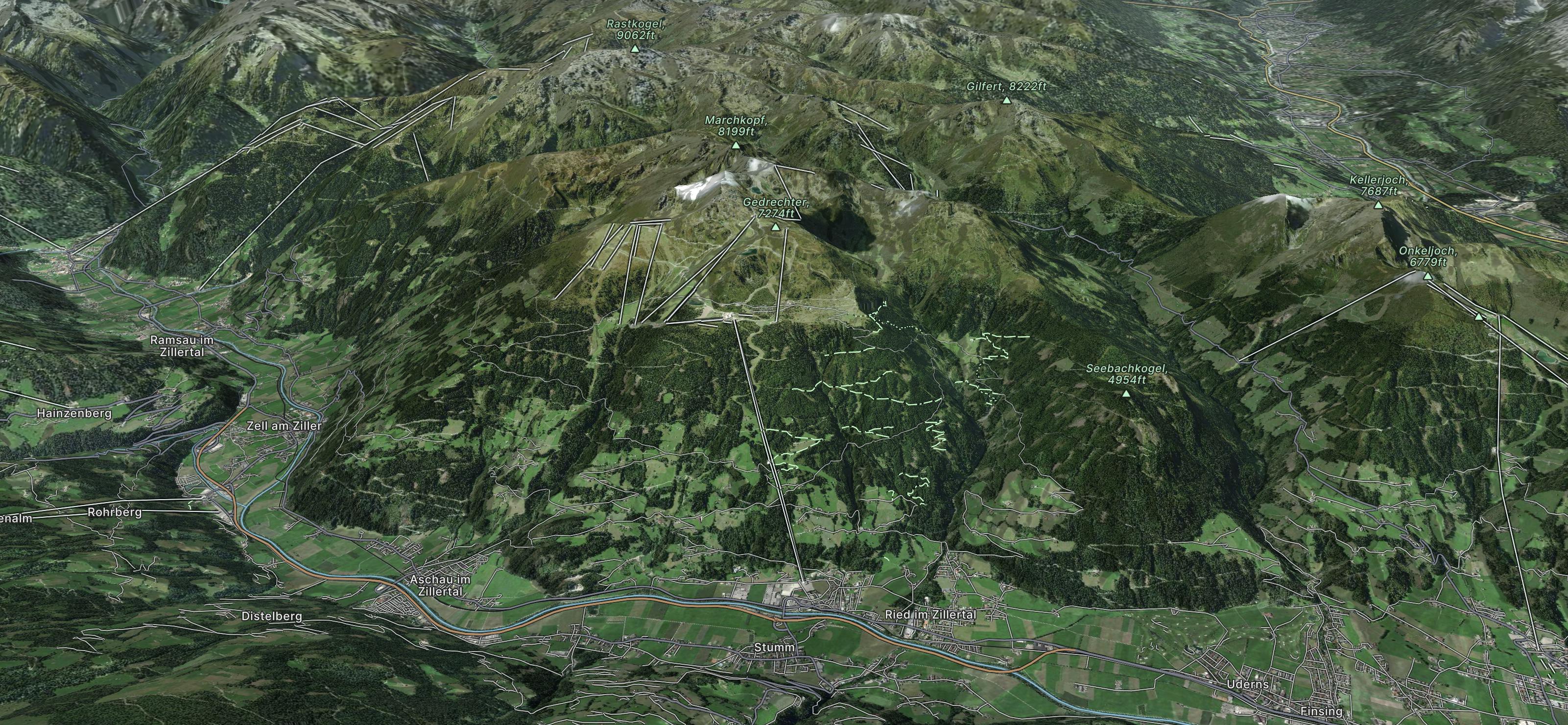
Marchkopf Northwest

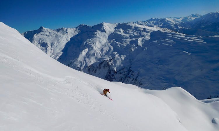
Long descent with a big wide slope, easy to reach from the Zillertal Shuttle
Difficult Freeride Skiing
- Distance
- 5.3 km
- Ascent
- 356 m
- Descent
- 1.1 km

Explore Kaltenbach with curated guides of the best routes. With over 4 3D trail maps in FATMAP, you can easily discover and navigate the best trails in Kaltenbach.
No matter what your next adventure has in store, you can find a guide on FATMAP to help you plan your next epic trip.
Get a top trail recommendation in Kaltenbach from one of our 1 guidebooks, or get inspired by the 4 local adventures uploaded by the FATMAP community. Start exploring now!


Long descent with a big wide slope, easy to reach from the Zillertal Shuttle
Difficult Freeride Skiing

Nice route with good view from the chairlift nearby, also containing small cliffs.
Severe Freeride Skiing

Long descent through bushes and small trees, a good choice in poor conditions.
Difficult Freeride Skiing

A fun freeride featuring the Gedrechter mountain (2217m) and the Golden Forest.
Moderate Freeride Skiing

6 routes · Freeride Skiing