1.5 km away
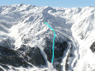
Marchkopf Northwest

Long descent with a big wide slope, easy to reach from the Zillertal Shuttle
Difficult Freeride Skiing
- Distance
- 5.3 km
- Ascent
- 356 m
- Descent
- 1.1 km
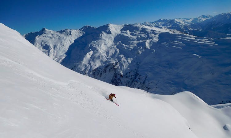
A fun freeride featuring the Gedrechter mountain (2217m) and the Golden Forest.
Freeride Skiing Moderate

Beginning at the Neuhütten chairlift (2171m), breakaway to the untouched powder, descending 1500m through the Golden Forest to Kaltenbach, one of Tyrol’s favourite ski towns.
Moderate
Slopes become slightly steeper at around 25-30 degrees.

Exposure is limited to that of the slope itself. Getting hurt is still likely if the slope is steep and/or the snow is hard.
1.5 km away
Long descent with a big wide slope, easy to reach from the Zillertal Shuttle
Difficult Freeride Skiing
1.5 km away

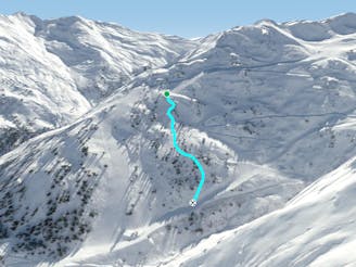
Long descent through bushes and small trees, a good choice in poor conditions.
Difficult Freeride Skiing
2 km away

Secret spot on bad days here in Kaltenbach/Hochzillertal
Difficult Freeride Skiing
2.1 km away

Nice route with good view from the chairlift nearby, also containing small cliffs.
Severe Freeride Skiing
4.7 km away

Wide slope in the woods, nice run for bad weather days.
Difficult Freeride Skiing
4.7 km away
Tree run for bad days
Difficult Freeride Skiing
4.7 km away

Bumpy classic ride with a long descent, often crowded
Difficult Freeride Skiing
4.7 km away

Secret tree run, ideal line on bad days.
Moderate Freeride Skiing
4.8 km away
Nice tree run with bumps, good on bad days
Difficult Freeride Skiing
5.2 km away

Short route with steep parts and cliffs underneath the 8er Jet gondola.
Difficult Freeride Skiing
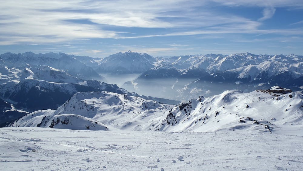
6 routes · Freeride Skiing

10 routes · Freeride Skiing