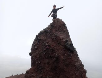
Quilotoa Lakeshore Hike
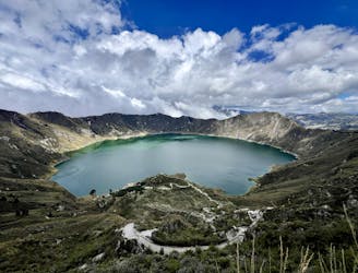
Hike down to the shores of the sparking blue lake in Quilotoa Crater
Moderate Hiking
- Distance
- 3.4 km
- Ascent
- 402 m
- Descent
- 402 m
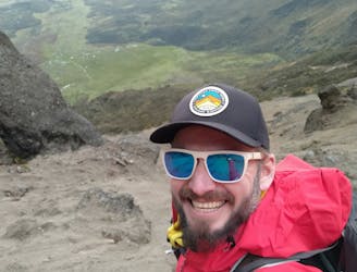
Explore Cotopaxi with curated guides of the best routes. With over 10 3D trail maps in FATMAP, you can easily discover and navigate the best trails in Cotopaxi.
No matter what your next adventure has in store, you can find a guide on FATMAP to help you plan your next epic trip.
Get a top trail recommendation in Cotopaxi from one of our 1 guidebooks, or get inspired by the 10 local adventures uploaded by the FATMAP community. Start exploring now!
Hike down to the shores of the sparking blue lake in Quilotoa Crater
Moderate Hiking
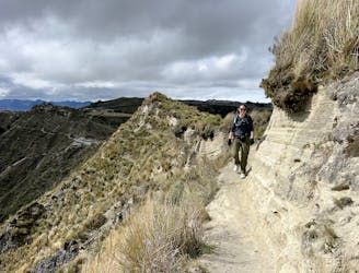
Hike a rugged trail that circumnavigates the rim of the spectacular Quilotoa Crater.
Difficult Hiking
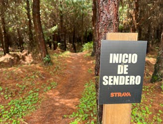
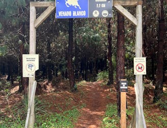
The best trail combination in the Cotopaxi Bike Park.
Difficult Mountain Biking
Cotopaxi Bike Park's best intermediate trail.
Moderate Mountain Biking
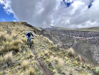
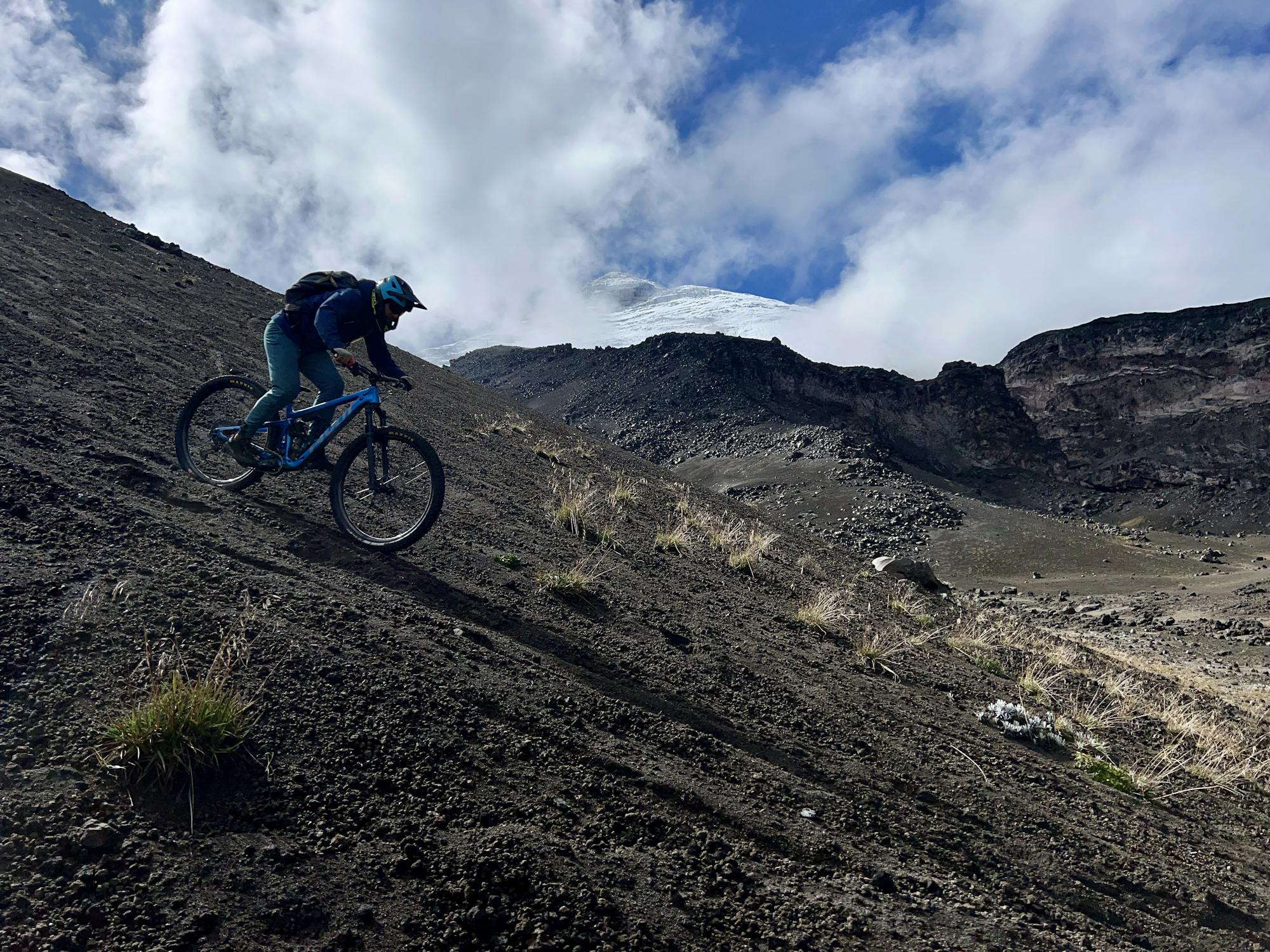
A scenic run along a canyon on the flanks of Cotopaxi.
Difficult Mountain Biking
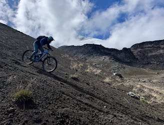
An absolutely stupendous ride down the flanks of one of the world's tallest active volcanoes!
Severe Mountain Biking
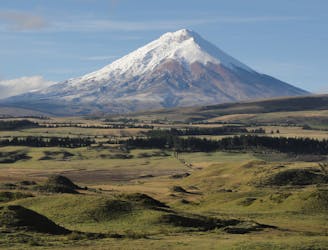
A high-altitude circumnavigation of an active volcano, across an otherworldly landscape in Ecuador's Cotopaxi National Park.
Difficult Hiking
Ruta muy divertida por la diversidad de caminos que se recorre.
Moderate Alpine Climbing
An acclimatisation climb in prep for the big 3 in Ecuador
Moderate Alpine Climbing
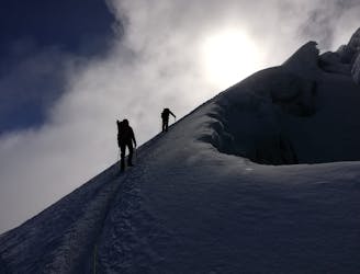
Ecuador's 2nd Highest Mountain
Difficult Alpine Climbing