1 routes
Explore Bouches-du-Rhône with curated guides of the best routes. With over 8 3D trail maps in FATMAP, you can easily discover and navigate the best trails in Bouches-du-Rhône.
No matter what your next adventure has in store, you can find a guide on FATMAP to help you plan your next epic trip.
Get a top trail recommendation in Bouches-du-Rhône, or get inspired by the 8 local adventures uploaded by the FATMAP community. Start exploring now!
1 routes
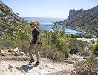
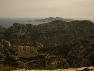
Explore one of the legendary Calanques on this gorgeous hike
Moderate Hiking

A beautiful linear hike through the famous Calanques
Severe Hiking
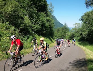
Cycling route following the Rhone river from Switzerland to the Med
Moderate Road Biking

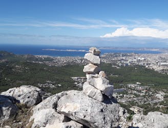
Ascent to Mount Puget, Sugiton beach and belvedere. / Montée au Mont Puget, plage et belvédère de Sugiton.
Moderate Hiking
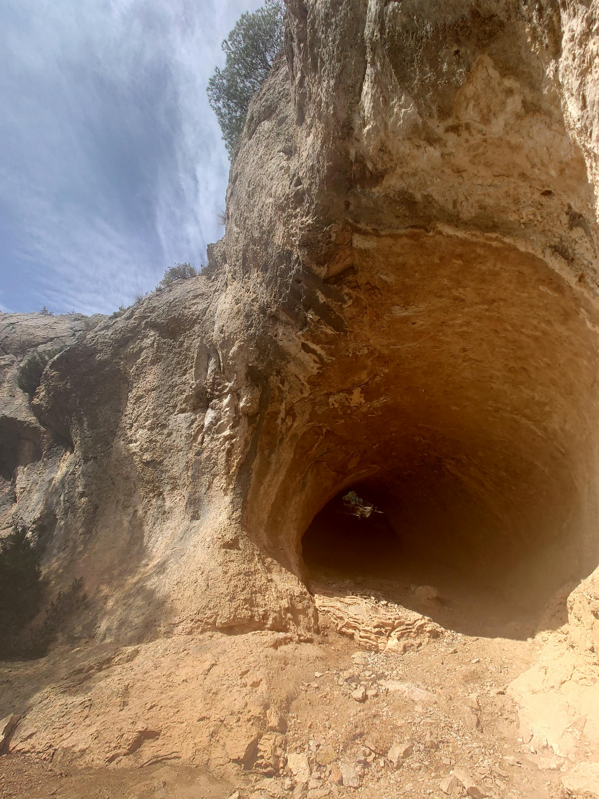
from Luminy to Baumettes, following the entire crest of Morgiou
Moderate Hiking

Parcours officiel de la boucle cugeoise 2024
Difficult Trail Running

Arbois - La Duranne, Roquefavour, la boule VTT · 36 km · D+450 m
Easy Mountain Biking
par l'aiguille Guillemin et la grande Candelle
Moderate Hiking