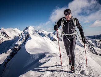
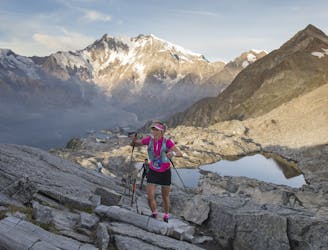
CCC 2024

Official UTMB CCC 2024
Severe Trail Running
- Distance
- 98 km
- Ascent
- 5.9 km
- Descent
- 6 km
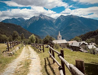
Go trail running in Aoste with curated guides of the best trail runs across the region. With over 331 3D trail maps in FATMAP, you can easily discover and navigate the best trails in Aoste.
No matter what your next adventure has in store, you can find a guide on FATMAP to help you plan your next epic trip.
Get a top trail running recommendation in Aoste from one of our 36 guidebooks, or get inspired by the 331 local adventures uploaded by the FATMAP community. Start exploring now!
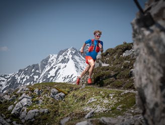
Official UTMB CCC 2024
Severe Trail Running

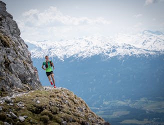
Toughest of the TORX races
Extreme Trail Running

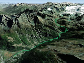
From Rifugio Deffeyes to Valgrisenche on the Tor des Géants route.
Difficult Trail Running

Starting on the TMB, then over the Col des Chanvannes
Difficult Trail Running
From La Thuile up to Refugio Deffeyes
Moderate Trail Running

Located at KM 85 of the UTMB® Situé au kilomètre 85 de l'UTMB®.
Moderate Trail Running
Tor des Glaciers course
Extreme Trail Running
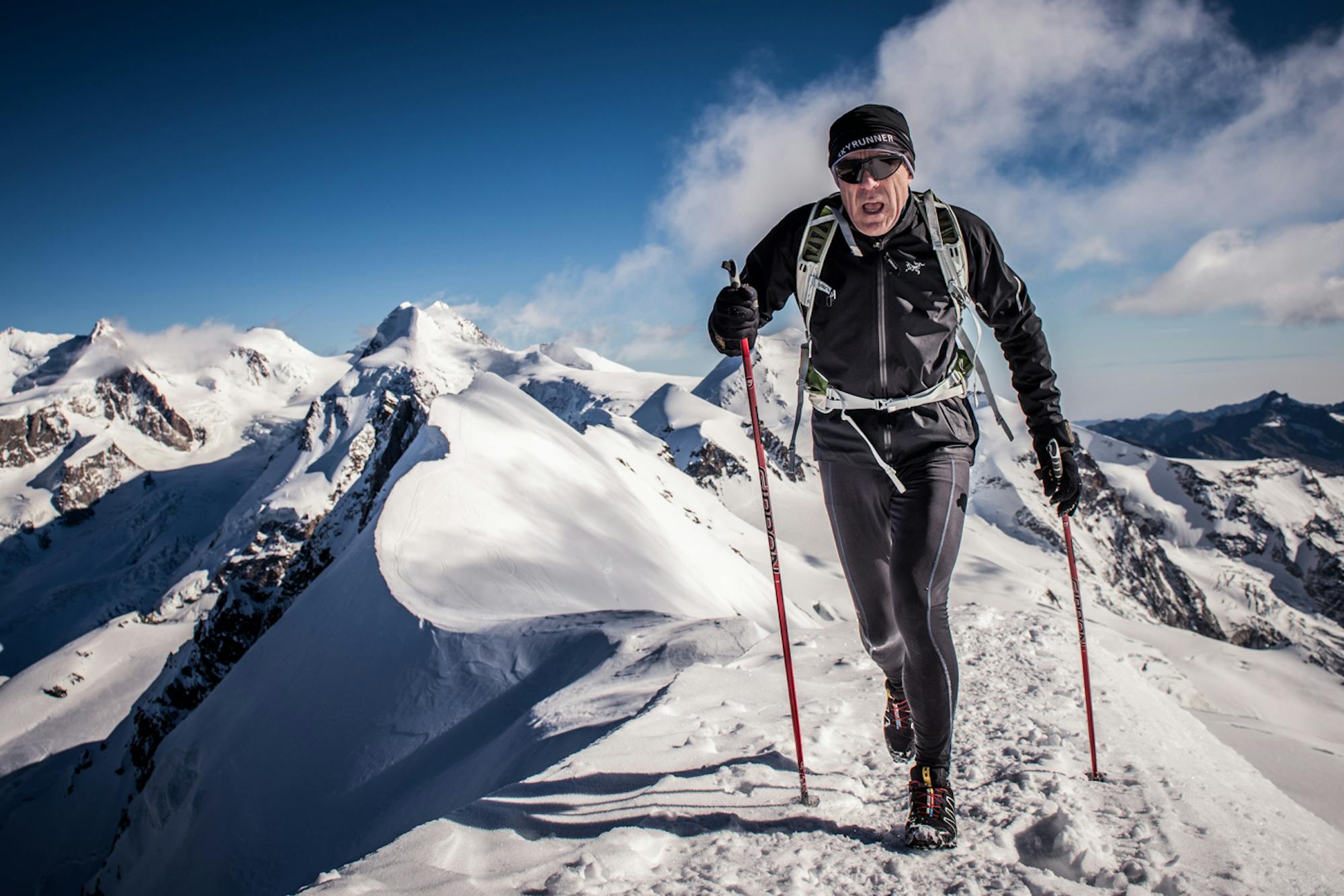
from Cervinia to the top - Trail e Skyrunning
Severe Trail Running
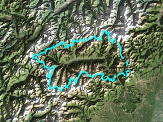
100 km trail ultra on the Tour Monte Rosa
Difficult Trail Running
Percorso ad anello con partenza e arrivo a Covarey (frazione di Champdepraz) ripercorrendo il percorso corto del Trail del Mont Avic. Percorso consigliato a tutti, trail runner o camminatori mediamente allenati. Non sono presenti punti pericolosi o esposti in quota, i sentieri sono tenuti bene e non ci sono tratti tecnici.
Moderate Trail Running
A half loop around Mont-Blanc that starts in Courmayeur. Une demi-boucle autour du Mont-Blanc qui débute à Courmayeur.
Extreme Trail Running
A wild route that winds through the well-known “Grande Randonnée du Tour du Mont-Blanc (GR TMB)” trail Un itinéraire sauvage qui emprunte le célèbre sentier de la Grande Randonnée du Tour du Mont-Blanc (GR TMB).
Extreme Trail Running