Alta Via Dolomiti 7
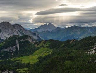
An extraordinary and extra-challenging hike through the Dolomites and Southern Carnic Alps.
Severe Hiking
- Distance
- 134 km
- Ascent
- 6.6 km
- Descent
- 7.1 km
Explore Treviso with curated guides of the best hiking trails, and more. With over 14 3D trail maps in FATMAP, you can easily discover and navigate the best trails in Treviso.
No matter what your next adventure has in store, you can find a guide on FATMAP to help you plan your next epic trip.
Get a top trail recommendation in Treviso from one of our 1 guidebooks, or get inspired by the 14 local adventures uploaded by the FATMAP community. Start exploring now!
An extraordinary and extra-challenging hike through the Dolomites and Southern Carnic Alps.
Severe Hiking
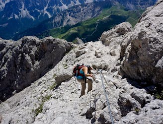
Hike far away from the crowds and deep into the wilderness along “The Alpine Trail of Silence."
Severe Hiking
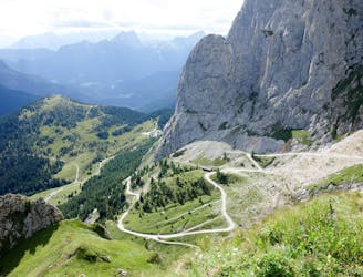
The strenuous “Way of the Legends” high altitude hiking trail across the Dolomites.
Difficult Hiking

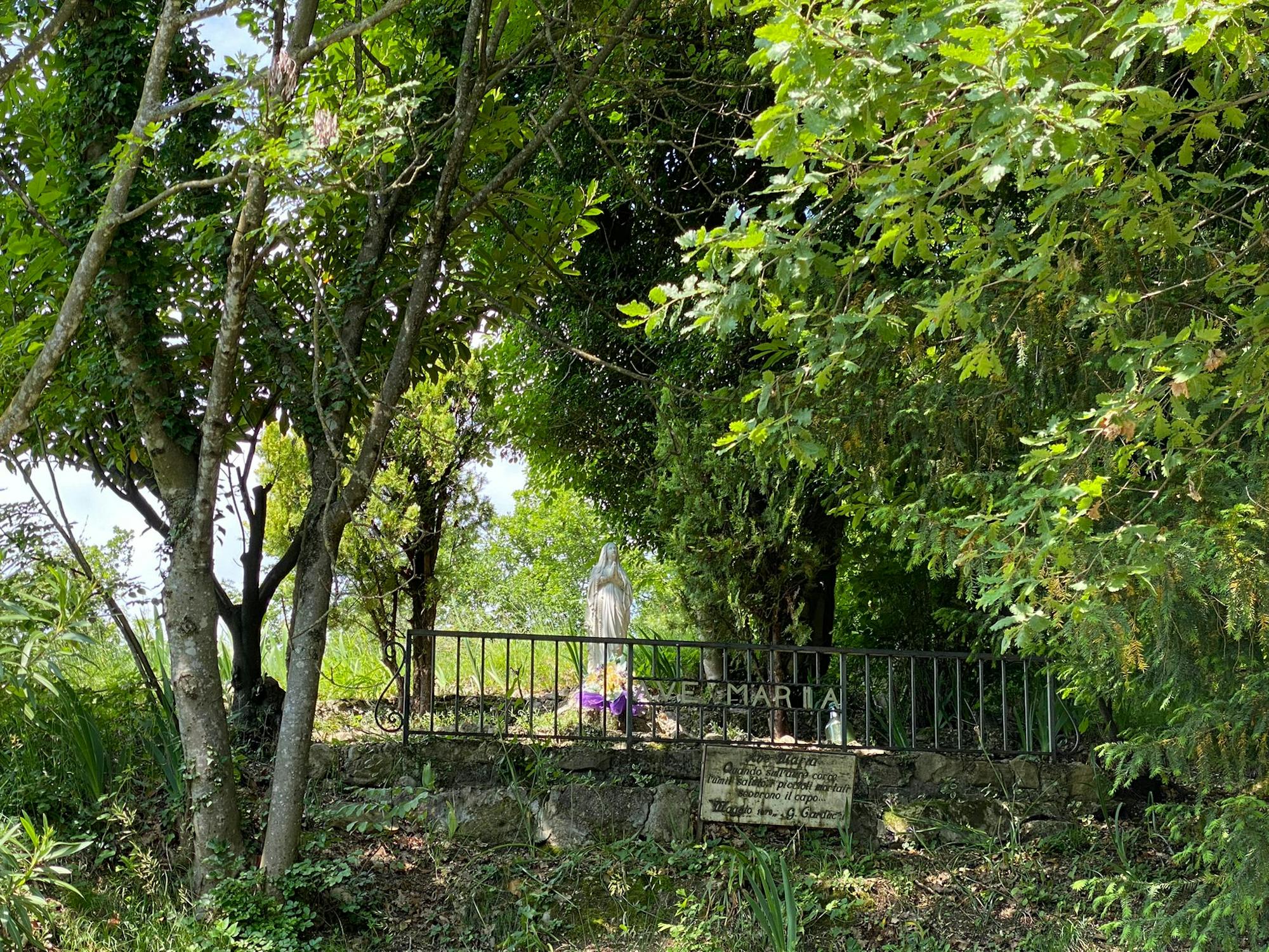
Santuario di Collagù ed Eremo di San Gallo
Moderate Hiking
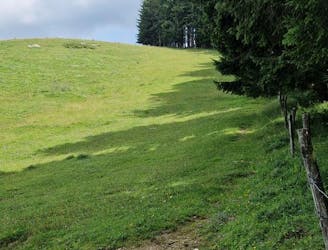
Il Gaviol - C.ra Prese - Basso Millifret - Pian de la Pita e discesa per Cai1046
Difficult Hiking

Gran giro da fare in giornata, spazia su tutto il territorio del Cansilio portandoci ad assaporare la tranquillità dei faggeti attraverso il Troi dei Cimbri, e la bellezza e la pace della valle a Sud del Pian Osteria. Il percorso è accessibile a chiunque, mai pericoloso, mai esposto, é richiesta un minimo di preparazione fisica vista la lunghezza.
Moderate Hiking
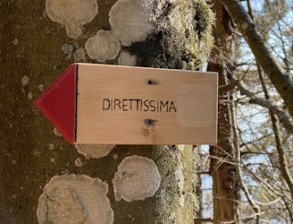
Pizzoc: sentieri Nino Lot, William B. Berry, Direttissima
Difficult Hiking

Route face different surfaces: asphalt backroads, gravel roads, hiking paths and singletracks.
Severe Mountain Biking

10 routes · Hiking