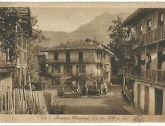
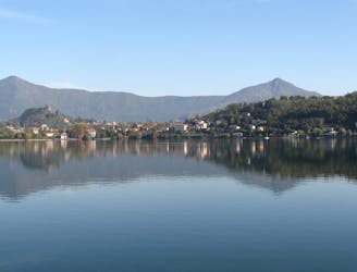
Le Borgate di Viù
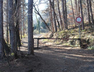
via per Tuberghengo per Chiaberge
Moderate Mountain Biking
- Distance
- 7.1 km
- Ascent
- 280 m
- Descent
- 280 m
Explore Turin with curated guides of the best hiking trails, mountain bike trails, ski routes, and more. With over 113 3D trail maps in FATMAP, you can easily discover and navigate the best trails in Turin.
No matter what your next adventure has in store, you can find a guide on FATMAP to help you plan your next epic trip.
Get a top trail recommendation in Turin from one of our 4 guidebooks, or get inspired by the 113 local adventures uploaded by the FATMAP community. Start exploring now!
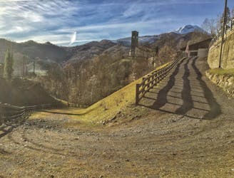
via per Tuberghengo per Chiaberge
Moderate Mountain Biking
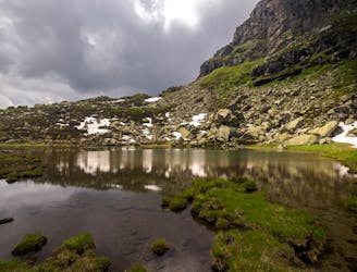
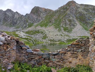
Short trip from Rivotti to the two Sagnasse Lakes.
Easy Hiking
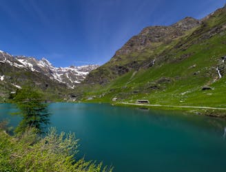
Long but easy trip that reaches the Lake Nero and the Lake Malciaussia from the small alpine village of Margone in the Viù Valley.
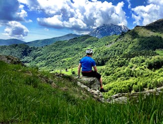
Moderate Hiking
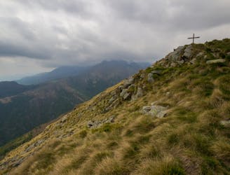
Very simple trip, reaching Cima Bossola. Lots of daffodils fulfill the grass around the path.
Easy Hiking
Day 20 of Grande Traversate delle Alpi (GTA), the famous long-distance hiking trail across the Italian Alps.
Moderate Hiking
Difficult Gravel Biking
Difficult Gravel Biking

1200m+ 35º (3.3 E1 steep skiing) skiing from the ridge. If you want, you can try the north couloir (4.1 E2 steep skiing)
Severe Ski Touring
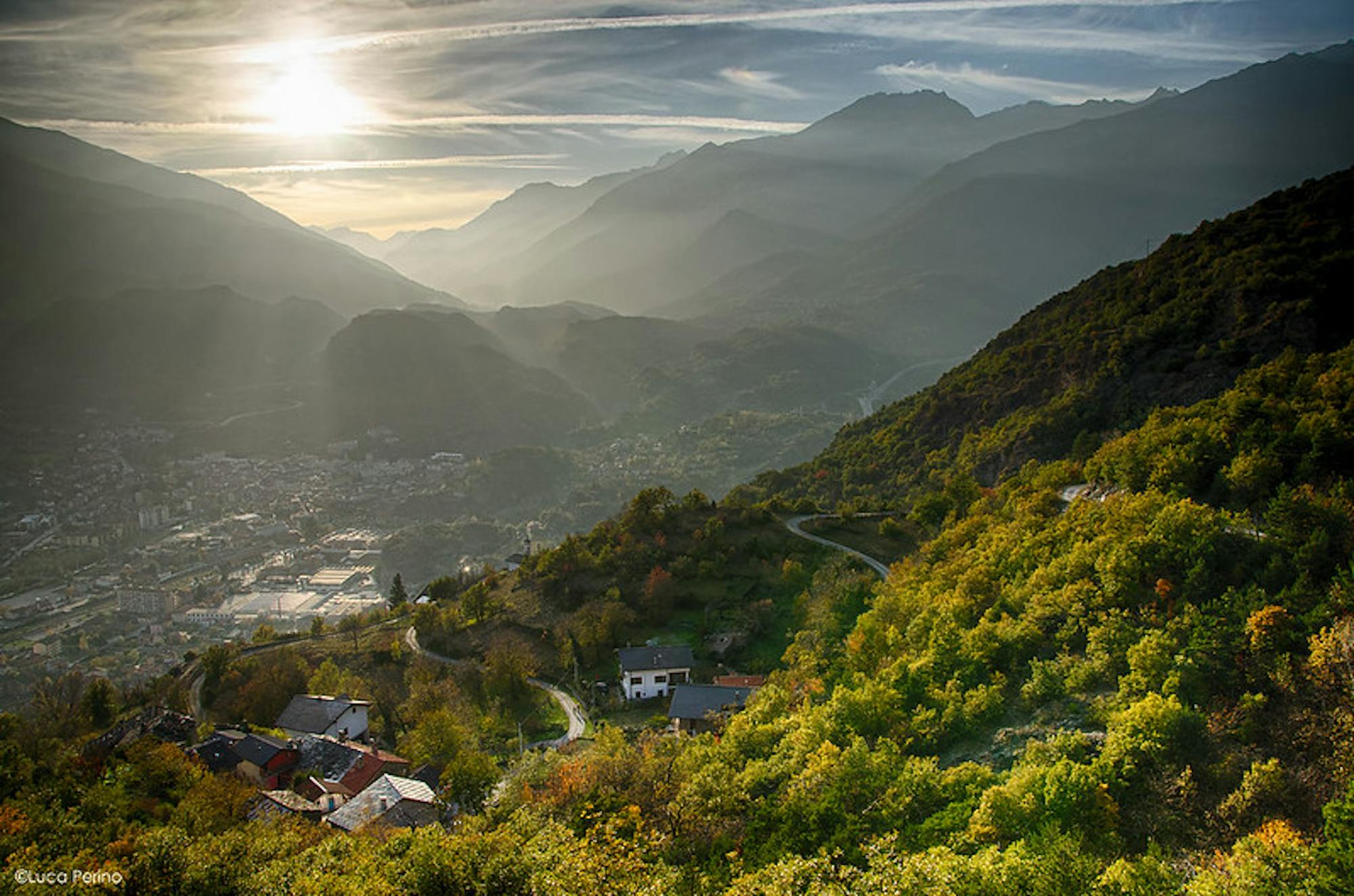
from Lanzo Torinese to Avigliana (34 km)
Moderate Road Biking

giro Paratore - Andrate - Nomaglio via Borgofranco
Moderate Hiking
A trip for everyone - Un'escursione per tutti
Easy Hiking
Giro abbastanza faticoso ma senza grosse difficoltà.
Moderate Mountain Biking
Giro abbastanza faticoso ma senza grosse difficoltà.
Moderate Mountain Biking
Giro abbastanza faticoso ma senza grosse difficoltà.
Moderate Mountain Biking
Piste
Easy Freeride Skiing

La Pista Olimpica si sviluppa per 10,6 Km si parte da un'altitudine di 1545 s.l.m. fino a raggiungere nel suo punto più alto quota 1623 s.l.m.con un dislivello complessivo di 258 m.
Difficult Ski Touring