271 m away
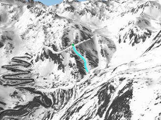
La Canaleta's lower section line
Shortcut line between slopes close to the trees including some steepness.
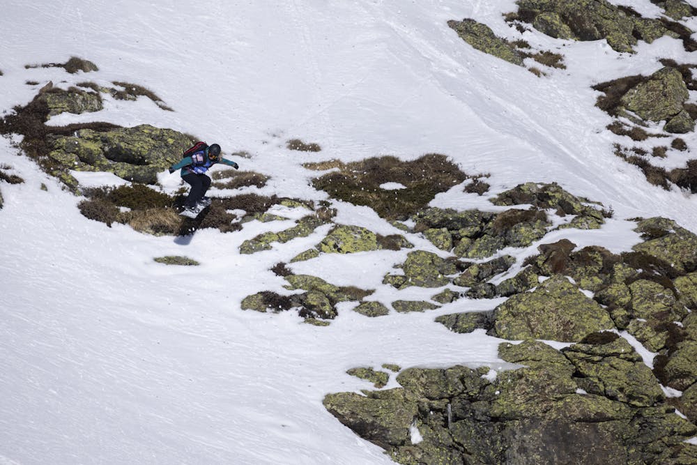
Severe Freeride Skiing
- Distance
- 236 m
- Ascent
- 0 m
- Descent
- 113 m
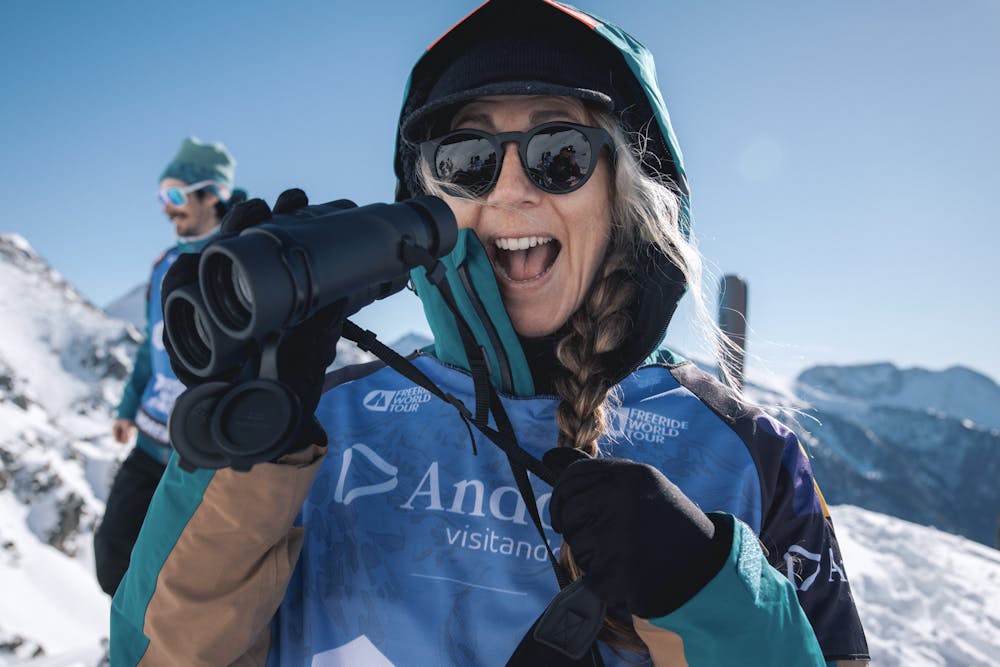
Freeride World Tour 2nd stop Andorra
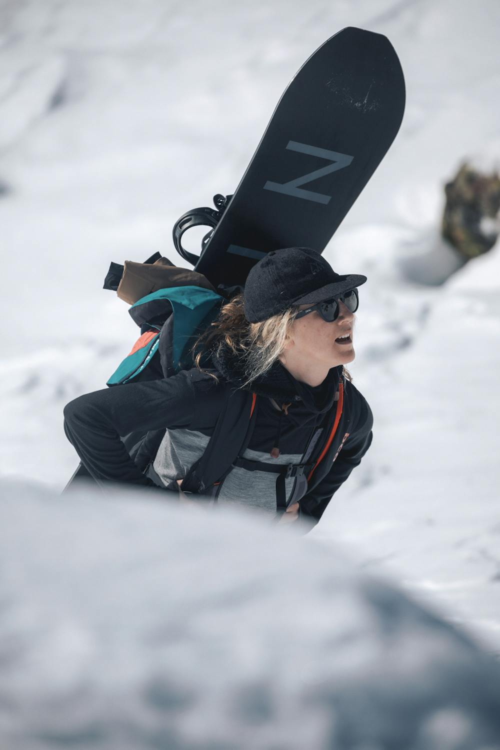
Freeride Skiing Extreme

This is a popular freeride skiing route which is generally considered to be extreme. It's remote, it features high exposure (e3) and is typically done between December and April. From a low point of 2.1 km to the maximum altitude of 2.7 km, the route covers 2.9 km, 653 vertical metres of ascent and 451 vertical metres of descent.
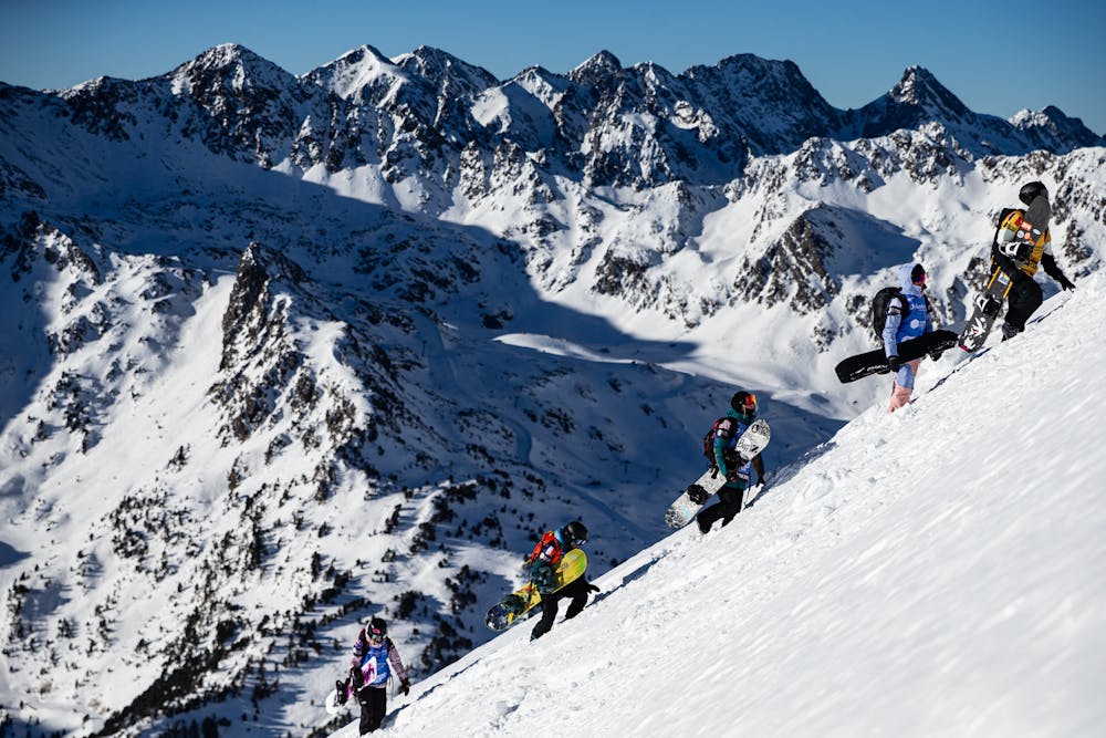
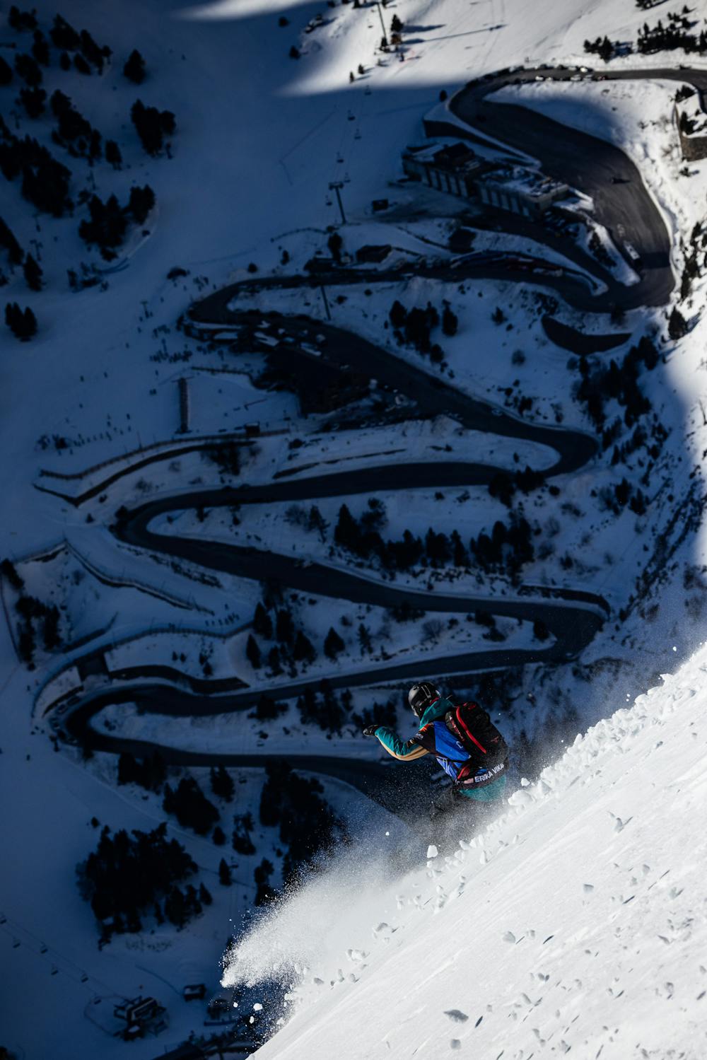
Freeride World Tour 2nd stop Andorra
Extreme
Extreme skiing terrain above 45 degrees. These routes are reserved for experienced experts.

In case of a fall, death is highly likely.

Away from help but easily accessed.
271 m away
Shortcut line between slopes close to the trees including some steepness.
Severe Freeride Skiing
323 m away

Short cut line between slopes, close the trees with some steepness.
Severe Freeride Skiing
831 m away

Short line with some steepness into the lowest section which is often in the sun.
Severe Freeride Skiing
844 m away

A short line which feels like a piste but is slightly steep at the end.
Severe Freeride Skiing
1.1 km away

Long traverse line where a small and steep line can be found into a small gully.
Severe Freeride Skiing
1.1 km away

A easy and gentle line close to the slope passing alongside a river.
Moderate Freeride Skiing
1.2 km away

Small line into an arete with some steepness into a gully.
Extreme Freeride Skiing
1.3 km away

A long traverse line with a really steep entrance onto a ridge side.
Extreme Freeride Skiing
1.4 km away

A forest line with some really steep sections that feels like a piste in the lower section.
Extreme Freeride Skiing
1.4 km away

Easy line close to the slopes, with a steep entrance being the only slightly tricky bit.
Difficult Freeride Skiing

20 routes · Freeride Skiing