4.9 km away
Porters Pass and Colliers Causeway, Blackheath

A beautiful loop that manages to avoid the crowds drawn to Blackheath and offers beautiful views for locals and visitors alike.
Moderate Hiking
- Distance
- 4.6 km
- Ascent
- 246 m
- Descent
- 246 m
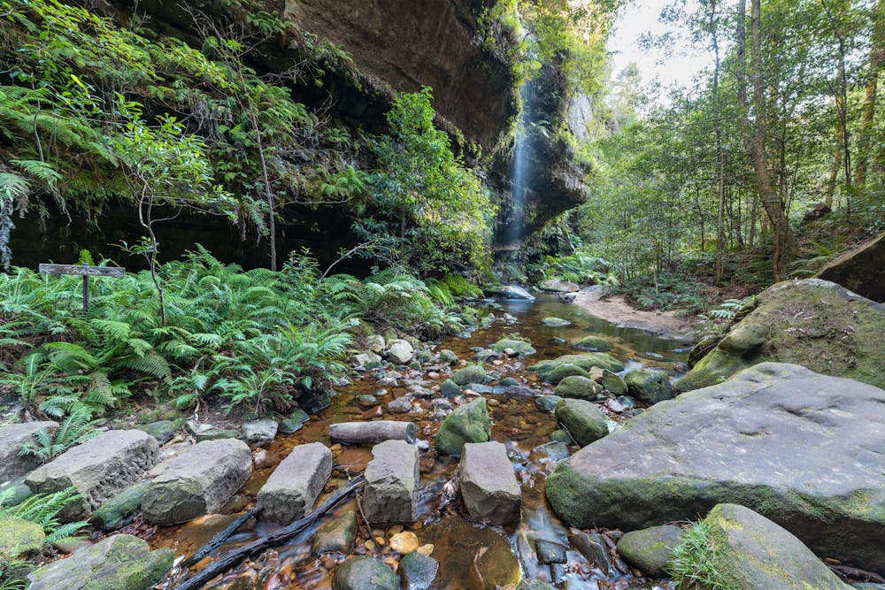
A stunning loop that takes in luscious native forest and plenty of waterfalls.
Hiking Moderate

The Grand Canyon Track is a moderately challenging hike that passes through luscious forest, sandstone walls and passes countless waterfalls.
Starting out from Evans Lookout, the trail winds its way down into the canyon, tracking Greaves Creek as it does so. Meandering along the base of the canyon there is plenty to take in, but also to be mindful of: semi-ledges increase the difficulty of the hike and require proper hiking shoes. The climb back up to the road is a strenuous one, but once you're up you'll be back on level ground as you work your way back to the lookout.
Due to recent wet weather and bush fires, tracks in the Blue Mountains can be subject to closure at short notice. Check the NPWS website to confirm conditions before setting out.
Moderate
Hiking along trails with some uneven terrain and small hills. Small rocks and roots may be present.

Close to help in case of emergency.
4.9 km away
A beautiful loop that manages to avoid the crowds drawn to Blackheath and offers beautiful views for locals and visitors alike.
Moderate Hiking
8.4 km away

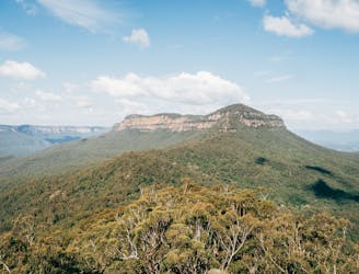
Exposed, hard to follow, not for the faint-hearted, but for those who tackle Lindeman Pass, the adventure is worth it.
Severe Hiking
8.9 km away
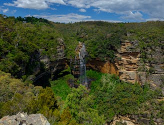
Moderately challenging, this 6.2km loop showcases the best of the Blue Mountains scenery, not to mention waterfalls... lots of waterfalls.
Moderate Hiking
9.2 km away
A challenging, multi-day hike boasting spectacular views, bush camping and a variety of native forests.
Extreme Hiking