6.1 km away
The Bachler Trail
The Bachler trail is in the top three downhill trails in the Zell am See Kaprun area.
Moderate Mountain Biking
- Distance
- 4.3 km
- Ascent
- 102 m
- Descent
- 594 m
A challenging tour climbing and descending the Hochsonnberg (2150m).
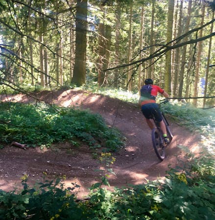
Mountain Biking Severe

This is one of the few MTB trails in the Schmittenhöhe area, as most of the routes are exclusively for hikers. It’s a great challenge for experienced bikers who want to test their technical skills and push their physical limits.
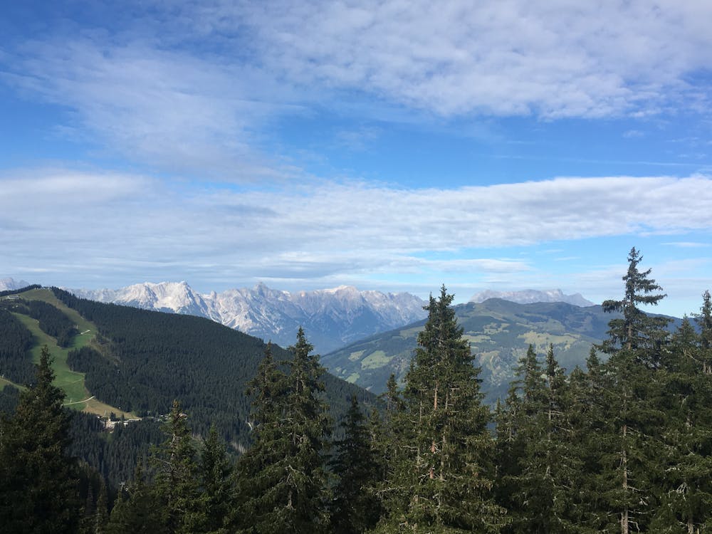
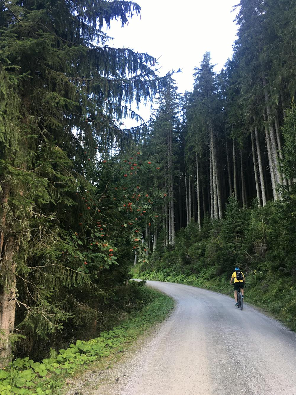
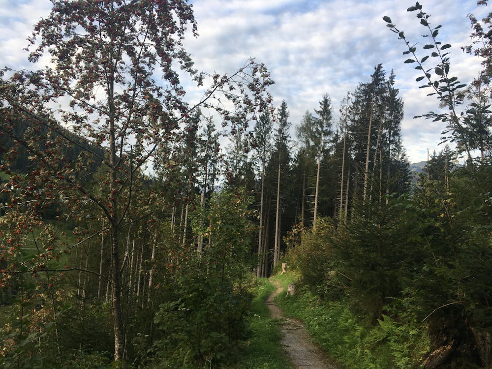
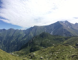
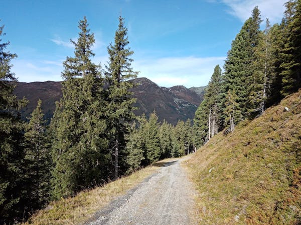
From Peisendorf, head to Walchen, where you begin to climb. You head up the Hochsonnberg on a steep track through dense woodland. As you near the top you will climb through a series of switchbacks before leaving the forest for a clearing and awesome views!
Continue on past the Pinzgauer Hütte, climbing up in an arch shape before descending very steeply back through the forest. Follow the dirt track all the way down, back to where you began in Peisendorf.
Severe
Widely variable, narrow trail tread with steeper grades and unavoidable obstacles of 15in/38cm tall or less. Obstacles may include unavoidable bridges 24in/61cm wide or less, large rocks, gravel, difficult root sections, and more. Ideal for advanced-level riders.

The trail contains some obstacles such as outcroppings and rock which could cause injury.
Away from help but easily accessed.
6.1 km away
The Bachler trail is in the top three downhill trails in the Zell am See Kaprun area.
Moderate Mountain Biking
5 routes · Mountain Biking
10 routes · Mountain Biking