6.1 km away
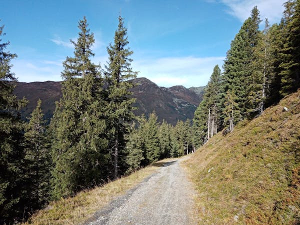
Peisendorf – Hochsonnberg – Pinzgauer Hut Loop
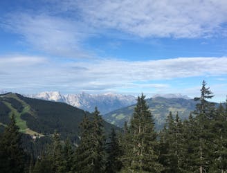
A challenging tour climbing and descending the Hochsonnberg (2150m).
Severe Mountain Biking
- Distance
- 25 km
- Ascent
- 1.2 km
- Descent
- 1.2 km
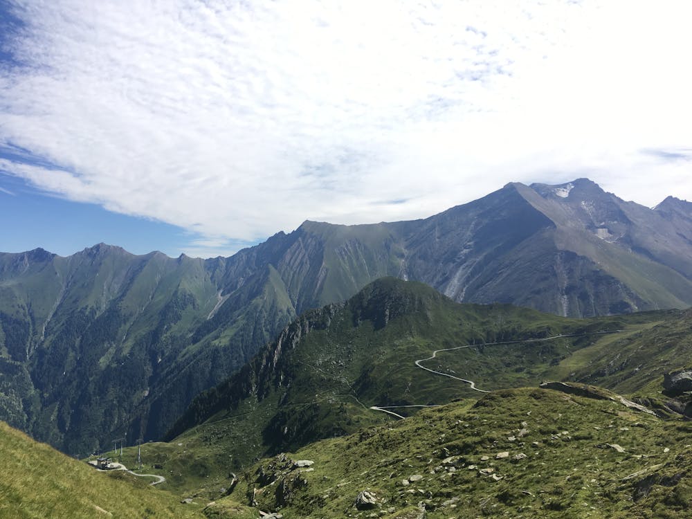
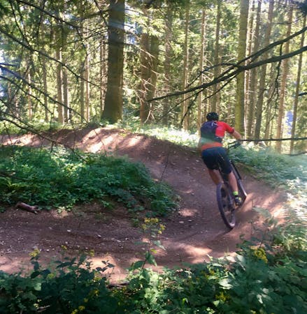
The Bachler trail is in the top three downhill trails in the Zell am See Kaprun area.
Mountain Biking Moderate

With wide bends, nice flowy sections and nothing too technical, The Bachler is a very enjoyable ride even for less experienced riders.
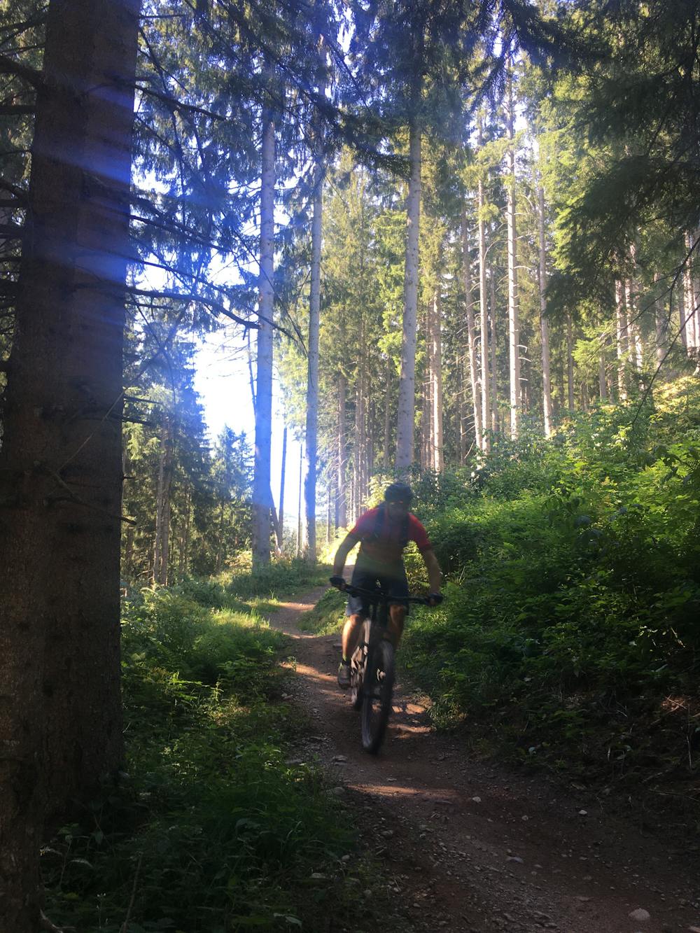
To reach the start you need to be prepared to climb up a short way with your bike from the Langwied lift station on the Kitzsteinhorn, or via the Maiskogel/ Astenweg.
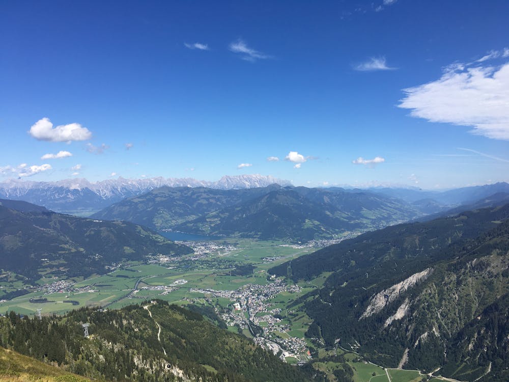
The trail has a 600 metre vertical drop over roughly 5 kilometres, finishing up next to the beautiful Klammsee on the Kaprun valley floor. From the lake you can follow a road along the valley to the Kitzsteinhorn Gletscherjet station.
Moderate
Mostly stable trail tread with some variability, with unavoidable obstacles 8in/20cm tall or less. Other obstacles such as rock gullies and steep sections may exist. Ideal for lower intermediate riders.

The trail contains some obstacles such as outcroppings and rock which could cause injury.
Away from help but easily accessed.
6.1 km away
A challenging tour climbing and descending the Hochsonnberg (2150m).
Severe Mountain Biking
5 routes · Mountain Biking
10 routes · Mountain Biking