7.9 km away
Pfannenkopf

An enjoyable south facing run over St.Christoph.
Moderate Freeride Skiing
- Distance
- 3.1 km
- Ascent
- 29 m
- Descent
- 617 m

From the top of Riffelbahn chairlift head directly over the ridge into the back face of the Renal mountain. After taking in the amazing view of this bowl, traverse slightly to the right to avoid some cliffs. Here the length of this run can be appreciated, the first section is fairly steep so controlled shorter turns would be advisable, its a long run so ski smarter not harder, the slope changes direction and becomes more gentle and terraced so enjoy those turns. Once at the treeline keep to the left hand side of the valley until the forest track is reached then this can be followed until joining the R1 groomed run. This is a superb long run on northerly slopes meaning good snow, however, the lower section due to its popularity can become difficult with bumps and moguls.
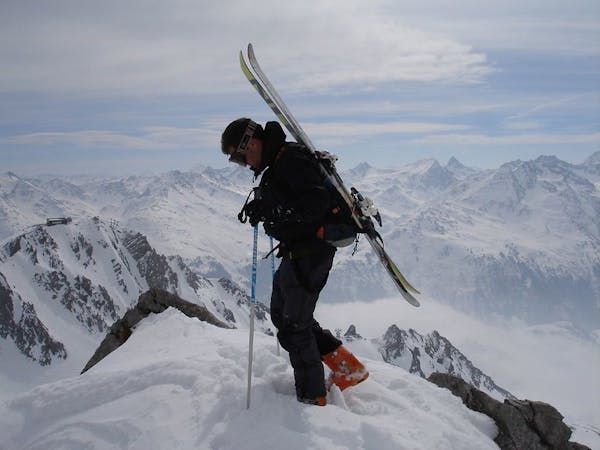
Difficult
Serious gradient of 30-38 degrees where a real risk of slipping exists.

As well as the slope itself, there are some obstacles (such as rock outcrops) which could aggravate injury.

Little chance of being seen or helped in case of an accident.
7.9 km away
An enjoyable south facing run over St.Christoph.
Moderate Freeride Skiing
9.1 km away

A classic Albona long wide open run finishing in the town of Stuben.
Moderate Freeride Skiing
9.3 km away

An Arlberg classic run for experienced skiers and riders.
Difficult Freeride Skiing
9.7 km away

Superb long run with often deep powder.
Difficult Freeride Skiing
10 routes · Freeride Skiing

50 routes · Freeride Skiing · Ski Touring