8 m away
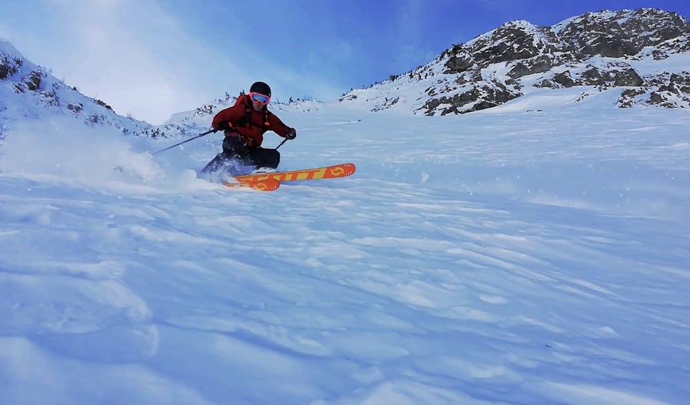
Birgitzköpfl Skier's Left

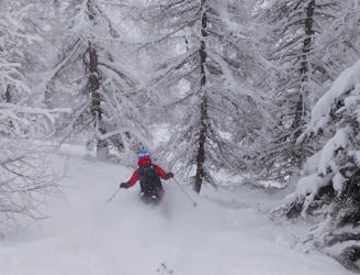
Fantastic tree skiing.
Moderate Freeride Skiing
- Distance
- 1.1 km
- Ascent
- 0 m
- Descent
- 456 m
It is a line how has a beatifull panorama, the line is a little bit dangerous, it is better to be in two or 3 people. You can chose where you skies down
Freeride Skiing Difficult

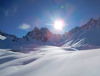
This is a popular freeride skiing route which is generally considered to be difficult. It's remote, it features low exposure (e1) and is typically done between December and April. From a low point of 1.6 km to the maximum altitude of 2.1 km, the route covers 3.6 km, 317 vertical metres of ascent and 771 vertical metres of descent. You'll need skins and crampons to complete it safely.
The line is a little bit dangerous, it is better to be in two or 3 people. You can chose where you skies down
Difficult
Serious gradient of 30-38 degrees where a real risk of slipping exists.

Exposure is limited to that of the slope itself. Getting hurt is still likely if the slope is steep and/or the snow is hard.

Away from help but easily accessed.
8 m away
Fantastic tree skiing.
Moderate Freeride Skiing
13 m away

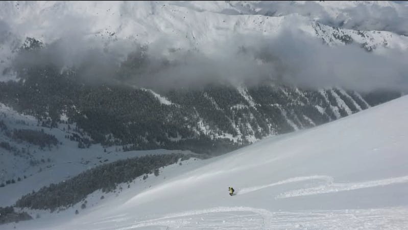
A nice open run which can hold good powder but needs a thick covering of snow.
Moderate Freeride Skiing
19 m away

A short off piste line which provides some nice skiing but is mainly used as a way to access the Götzens ski area.
Easy Freeride Skiing
19 m away

An excellent little off piste detour which generally holds good snow long after the last storm.
Moderate Freeride Skiing
34 m away

Brilliant tree skiing.
Moderate Freeride Skiing
2 km away
A small and very worthwhile detour which often has good snow long after the last storm.
Difficult Freeride Skiing
2.8 km away

A nice little 150 metre high face with some good freeride terrain.
Moderate Freeride Skiing
2.9 km away

A run with a bit of everything, from open faces to tight trees.
Moderate Freeride Skiing
2.9 km away
Formerly a piste, this is now a classic off piste run down to the village of Axams.
Moderate Freeride Skiing
2.9 km away

Easily accessed freeride terrain which holds good snow for days after a storm
Difficult Freeride Skiing
10 routes · Freeride Skiing