7 m away
Birgitzköpfl Main

A nice open run which can hold good powder but needs a thick covering of snow.
Moderate Freeride Skiing
- Distance
- 1.1 km
- Ascent
- 0 m
- Descent
- 455 m
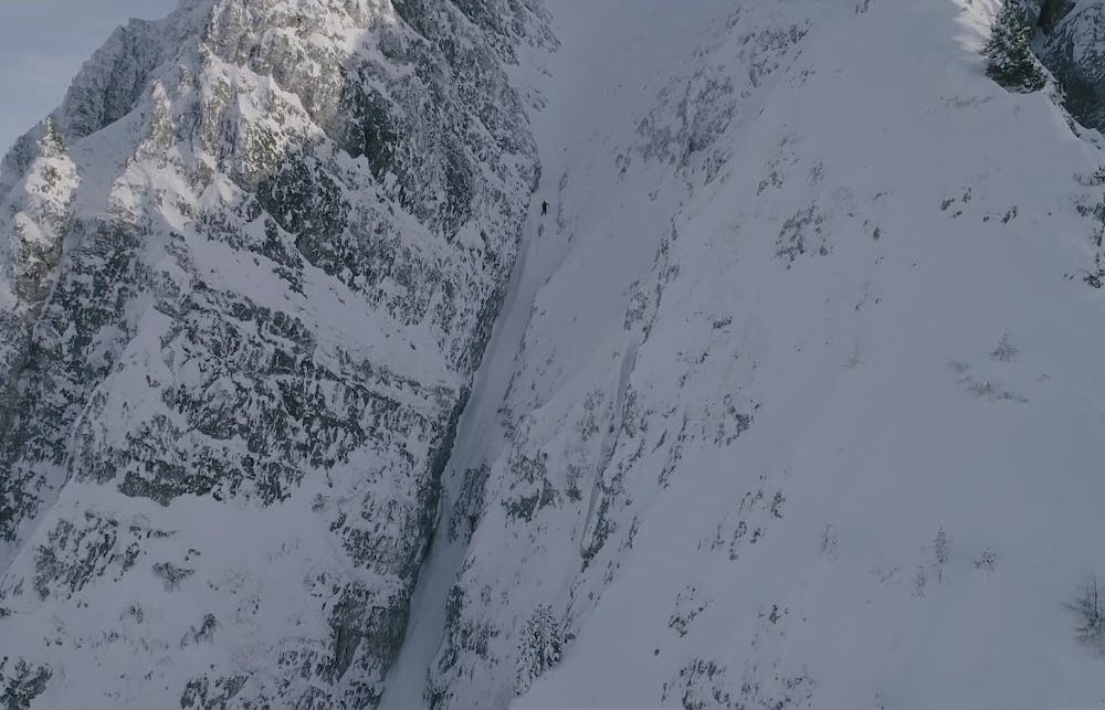
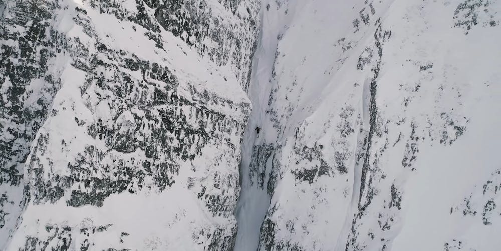
An intimidating couloir with a mandatory air in the middle, that's only on in certain conditions
Freeride Skiing Extreme

It's easy to scope from the base area, and not hard to tour to the top of (even if the chairlift is closed), but standing at the drop-in is pretty scary, especially because you can't really see what's below you. If the snow conditions are on (filled in from the right wind directon, and not sun affected) then it's possible, and is something you'll remember for the rest of your life.
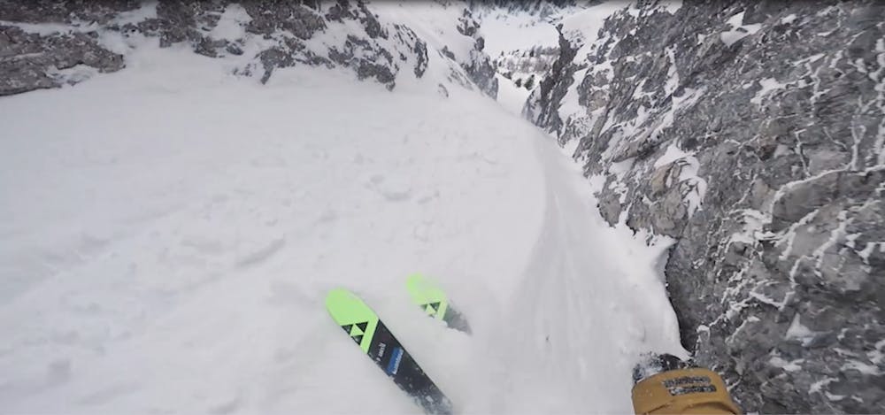
Extreme
Extreme skiing terrain above 45 degrees. These routes are reserved for experienced experts.

In case of a fall, death is highly likely.

Close to help in case of emergency.
7 m away
A nice open run which can hold good powder but needs a thick covering of snow.
Moderate Freeride Skiing
14 m away

A short off piste line which provides some nice skiing but is mainly used as a way to access the Götzens ski area.
Easy Freeride Skiing
16 m away

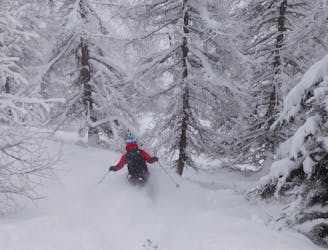
Fantastic tree skiing.
Moderate Freeride Skiing
23 m away

An excellent little off piste detour which generally holds good snow long after the last storm.
Moderate Freeride Skiing
24 m away

Brilliant tree skiing.
Moderate Freeride Skiing
2 km away
A small and very worthwhile detour which often has good snow long after the last storm.
Difficult Freeride Skiing
2.7 km away

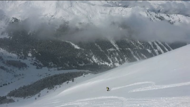
A nice little 150 metre high face with some good freeride terrain.
Moderate Freeride Skiing
2.9 km away

A run with a bit of everything, from open faces to tight trees.
Moderate Freeride Skiing
2.9 km away
Formerly a piste, this is now a classic off piste run down to the village of Axams.
Moderate Freeride Skiing
2.9 km away

Easily accessed freeride terrain which holds good snow for days after a storm
Difficult Freeride Skiing
10 routes · Freeride Skiing