2.4 km away
Bsuchalm hut
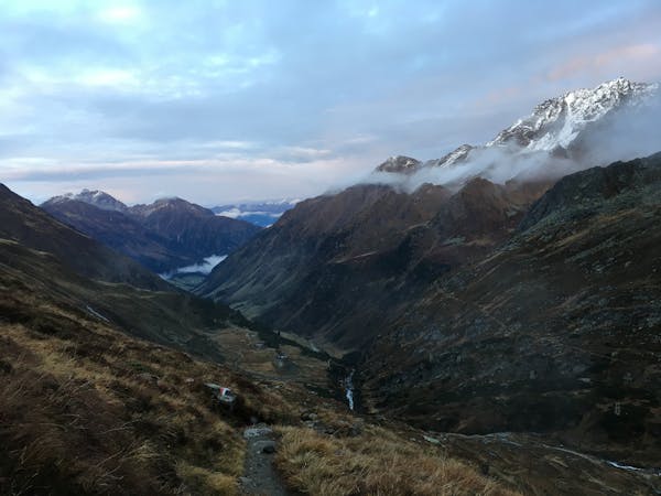
A family friendly hike to a traditional hut alongside the Längental stream.
Easy Hiking
- Distance
- 4.5 km
- Ascent
- 223 m
- Descent
- 223 m
A great day hike on its own or the first part of an epic 3 day adventure.
Hiking Moderate

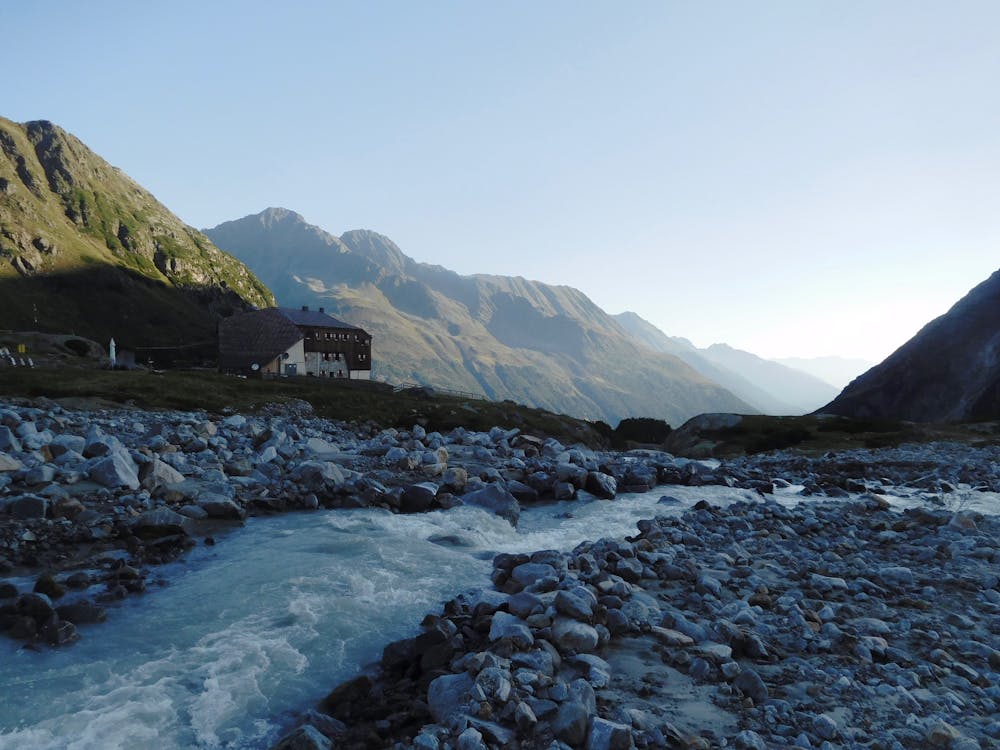
The Sulzenauhütte is spectacularly perched high above the Stubai Valley and visiting it is a popular day hike. However, the hut is also the launchpad for a huge 3 day adventure across the highest peaks of the Stubai region - the crossing of the Wilder Freiger, the Wild Pfaff and finally the Zuckerhütl. The route across those peaks is described in FATMAP and is highly recommended provided you have a perfect weather forecast and the prerequisite skills and fitness for 3 long days.
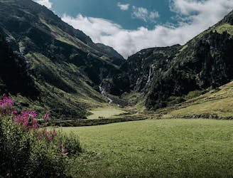
From the parking area, or the bus stop (the route is accessible by bus from Innsbruck) walk for 10 minutes to reach the famous Grawa waterfall. From the falls follow the wooden walkway uphill through the forest on the right hand side of the waterfall (signposted for the Sulzenaualm and Sulzenauhütte) past another couple of viewing platforms. After about 50 minutes you emerge out above the trees and are treated to a beautiful view of the Wilder Freiger Ferner glacier high above. Here the path flattens out and leads you through a stunning glacial bowl, with the Sulzenaualm and another fantastic waterfall up ahead. A delightful refreshment stop, the Sulzenaualm enjoys excellent views and is the perfect place to stop before the final climb up to the Sulzenauhütte.
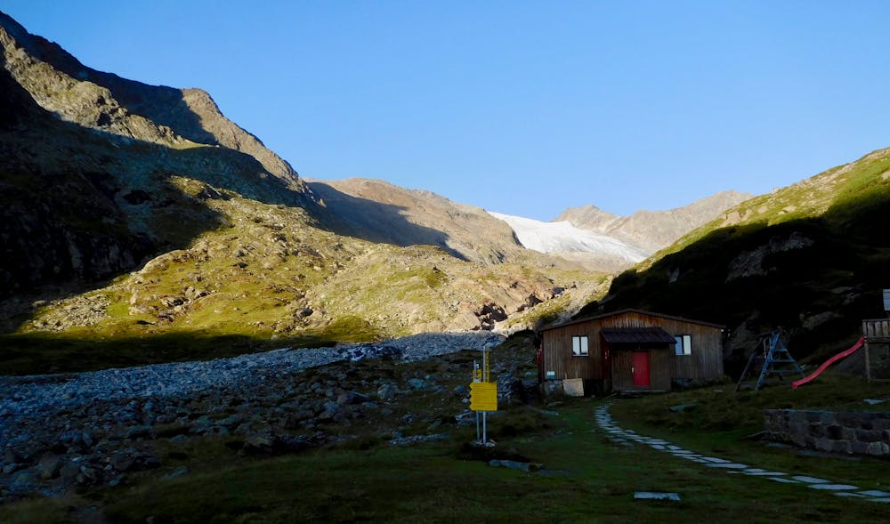
High up ahead you can now see the Sulzenauhütte, looking somewhat precarious at the top of the waterfall. From the Alm, cross the basin towards the waterfall to reach a sign indicating that the Sulzenauhütte can be reached by following either direction. Both paths merge later on and lead to the hut so it doesn’t matter which one you choose. Follow the path winding upwards for another 45 minutes to reach the beautiful hut sitting on an impressive plateau.
Grab a bite to eat at the hut and (assuming you're carrying on to the Wilder Freiger the next day) settle in for a peaceful night.
Moderate
Hiking along trails with some uneven terrain and small hills. Small rocks and roots may be present.

The trail contains some obstacles such as outcroppings and rock which could cause injury.

Little chance of being seen or helped in case of an accident.
2.4 km away
A family friendly hike to a traditional hut alongside the Längental stream.
Easy Hiking
3 km away
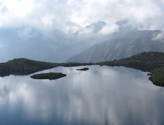
Hiking round to one of the most beautiful mountain lakes in the Austrian alps.
Difficult Hiking
8.7 km away

An adventures route with easy alpine climbing through a picturesque part of the stubai alps.
Severe Hiking
8.7 km away

A classic there-and-back hike to a dramatic peak
Severe Hiking
9 routes · Alpine Climbing · Hiking

25 routes · Hiking
7 routes · Hiking