
2.4 km away
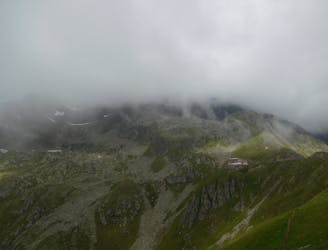
Stubaital to the Sulzenauhütte
A great day hike on its own or the first part of an epic 3 day adventure.
Moderate Hiking
- Distance
- 4.9 km
- Ascent
- 717 m
- Descent
- 7 m
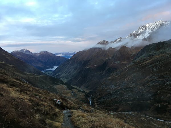
A family friendly hike to a traditional hut alongside the Längental stream.
Hiking Easy

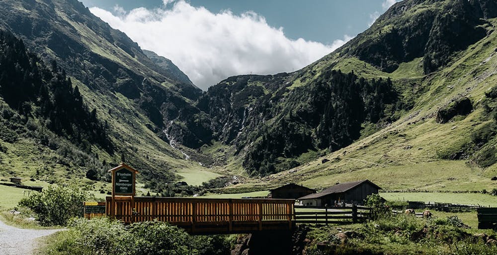
This easy hike starts at the parking lot next to the Neustift i. Stubaital Abzw. Nürnberger Hütte bus stop. Follow the trail south into the narrow Längental valley in direction of the Nürnberger hut.
When you want to do the hike with a buggy, just walk along the gravel road nr. 134 towards the Bsuchalm hut.
If you have kids with you, the Längentaler waterfall definitely is the first highlight along the route. Follow a narrow trail southwards in the forest to reach the stream and walk along the signs towards the Längentaler Wasserfall Ausssichtsplattform to reach a platform with a nice view onto the waterfall.
Now walk a few meters back into the forest and turn right (south) to reach the narrow trail again which will lead you uphill until a gravel road is being reached.
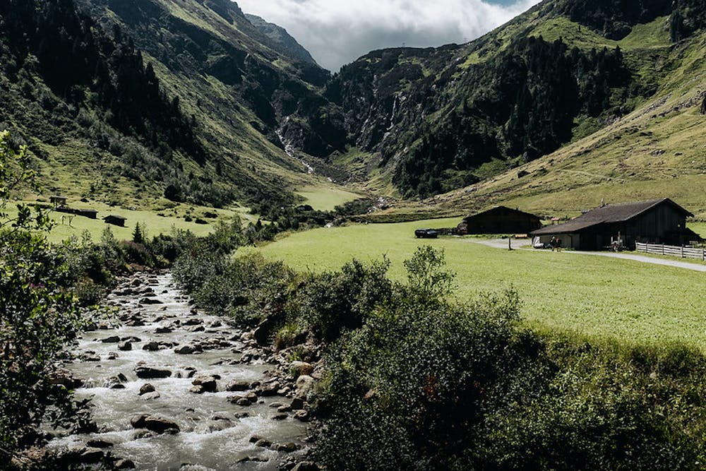
This gravel road (nr. 134) guides you alongside the stream in the shade of trees for a longer time. As the forest clears up and the road follows mellow terrain deeper into the valley, you’ll soon have a view of the hut and only some minutes are left until you can enjoy a well deserved meal.
The trail will pass lovely alpine meadows on the left and after the road turns right (south) and crosses the stream, you will reach the hut. It sits at the bottom of the mighty Mairspitze peak and offers a nice view into the Stubai valley.
After you've enjoyed a traditional Tyrollean meal at the hut, start to walk downhill following the gravel road along the stream.
The road (nr 134) will guide you through the forest and down to the bottom of the Stubai valley. After a traverse to the north, make sure to turn left (east) to reach the parking lot again.
Easy
Walking along a well-kept trail that’s mostly flat. No obstacles are present.

The path is on completely flat land and potential injury is limited to falling over.
Close to help in case of emergency.
2.4 km away
A great day hike on its own or the first part of an epic 3 day adventure.
Moderate Hiking
5.3 km away
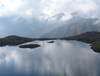
Hiking round to one of the most beautiful mountain lakes in the Austrian alps.
Difficult Hiking
7.9 km away

An adventures route with easy alpine climbing through a picturesque part of the stubai alps.
Severe Hiking
7.9 km away

A classic there-and-back hike to a dramatic peak
Severe Hiking
9.5 km away
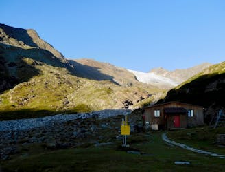
A long uphill trip which accesses a beautiful hut.
Moderate Hiking
9.8 km away

This route is made for everyone who loves easy ridge hiking.
Difficult Hiking
9 routes · Alpine Climbing · Hiking

25 routes · Hiking
7 routes · Hiking