9 m away
Karwendel Loop
An über classic loop through one of Europe's wildest mountain ranges
Moderate Mountain Biking
- Distance
- 69 km
- Ascent
- 2 km
- Descent
- 2 km
A short but physically challenging ride through some of the most rugged scenery in Austria.
Mountain Biking Moderate

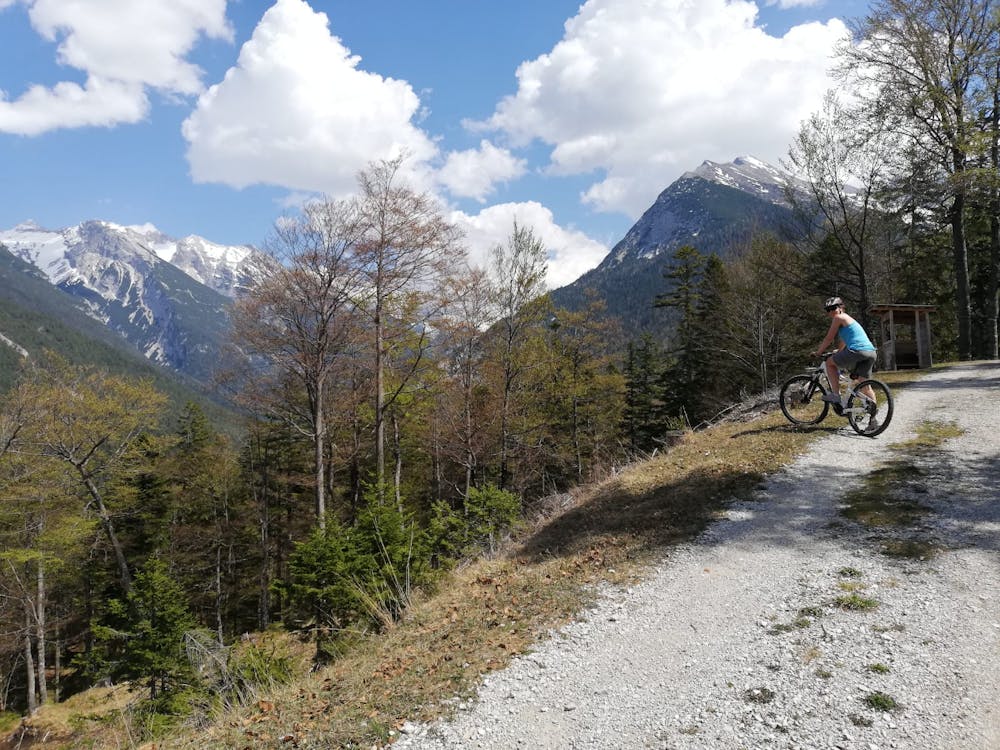
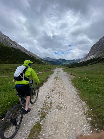
This is a beautiful ride through the wild and untamed Karwendel range - possibly the most "out there" national park in the whole of the Alps. It's certainly one of the few places in Europe which is reminiscent of the big American National Parks, and for most of this ride you'll feel like you could easily be in Washington State or Montana.
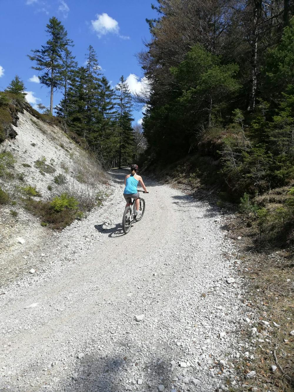
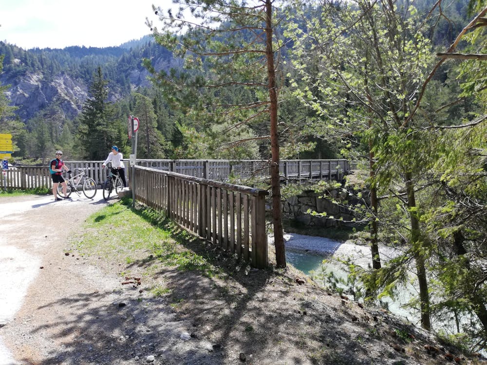
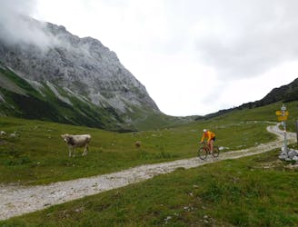
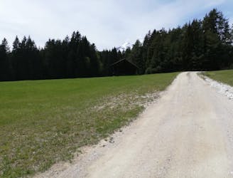
Start riding at the Karwendel parking area on the south-east edge of Scharnitz village, which can be reached by car or train. Ride east-southeast on a tarmac road and then cross the turquoise Isar river on a wooden bridge to reach a jeep track.
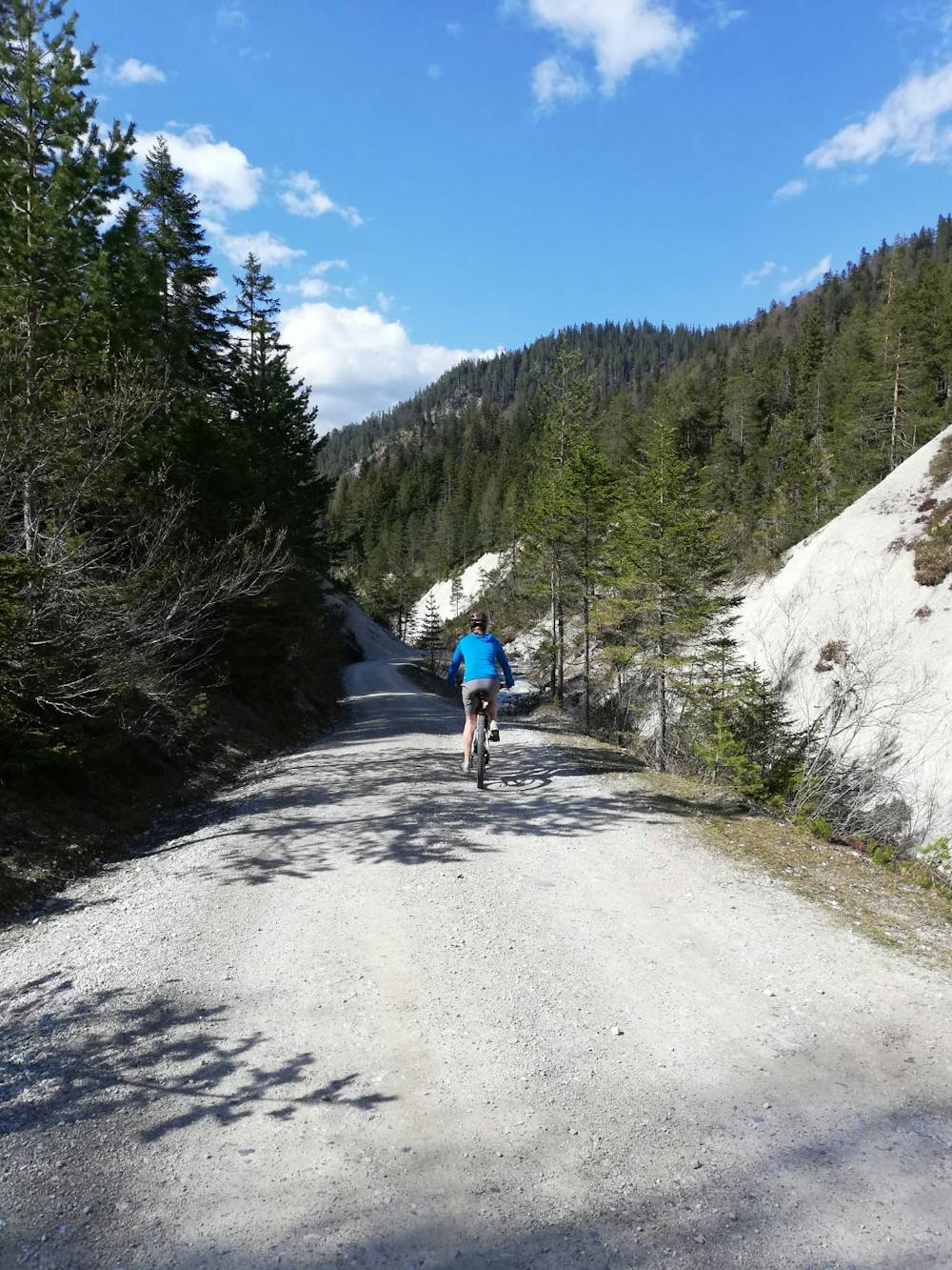
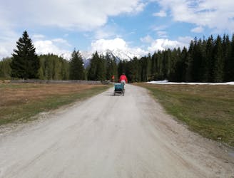
Follow the jeep track as it climbs steeply up the hillside opposite the main Karwendel ridge. The views on the climb are utterly spectacular but it's a tough ascent and, frankly, a bit of a slog! Keep grinding - the climb is relatively brief and the effort you put into it is compensated by the view. After around 300 vertical metres of ascent the track descends and then traverses to the foot of a second climb which begins next to a beautiful little chalet.
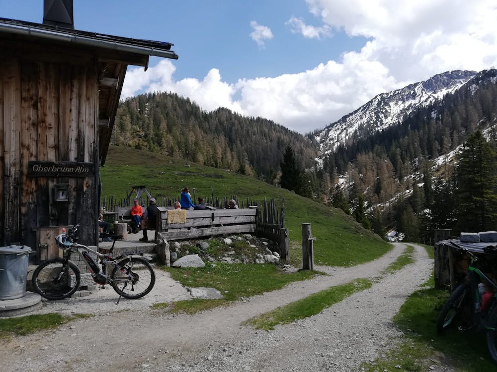
The second climb is initially steep but doesn't feel quite as tough as the first one. The ascent goes through some wild and incredibly peaceful forests and is an utter joy. Eventually you crest a small ridge at a clearing, at which point you are just 50 or so metres from a well earned drink at the beautiful Oberbrunnalm hut. Turn right, climb those 50 metres and enjoy your reward! The hut is beautiful and enjoys a spectacular view across to the Seefeld peaks. Many Austrian huts have recently been renovated and turned into modern, glass fronted horror shows but the Oberbrunnalm remains charmingly old school and rustic.
Having soaked in the view and hospitality, descend on a good track down into a deep cut valley which in turns leads to the village of Gießenbach. Hang a right and follow the road for 10 minutes back to Scharnitz.
Moderate
Mostly stable trail tread with some variability, with unavoidable obstacles 8in/20cm tall or less. Other obstacles such as rock gullies and steep sections may exist. Ideal for lower intermediate riders.

The path is on completely flat land and potential injury is limited to falling over.

Away from help but easily accessed.
9 m away
An über classic loop through one of Europe's wildest mountain ranges
Moderate Mountain Biking
39 m away
A long and scenic ride into one of the most remote valleys in Austria
Moderate Mountain Biking
690 m away
A huge ride traversing one of Europe's wildest National Parks.
Difficult Mountain Biking
8.9 km away
A cruisy loop through quiet and atmospheric forests
Moderate Mountain Biking
9.6 km away
A gorgeous circuit through peaceful forests
Moderate Mountain Biking

7 routes · Alpine Climbing · Mountain Biking · Hiking · Trail Running
6 routes · Mountain Biking

24 routes · Mountain Biking
7 routes · Alpine Climbing · Mountain Biking · Hiking · Ski Touring