679 m away
Scharnitz to Roßloch via the Kastenalm
A long and scenic ride into one of the most remote valleys in Austria
Moderate Mountain Biking
- Distance
- 36 km
- Ascent
- 713 m
- Descent
- 713 m
A huge ride traversing one of Europe's wildest National Parks.
Mountain Biking Difficult

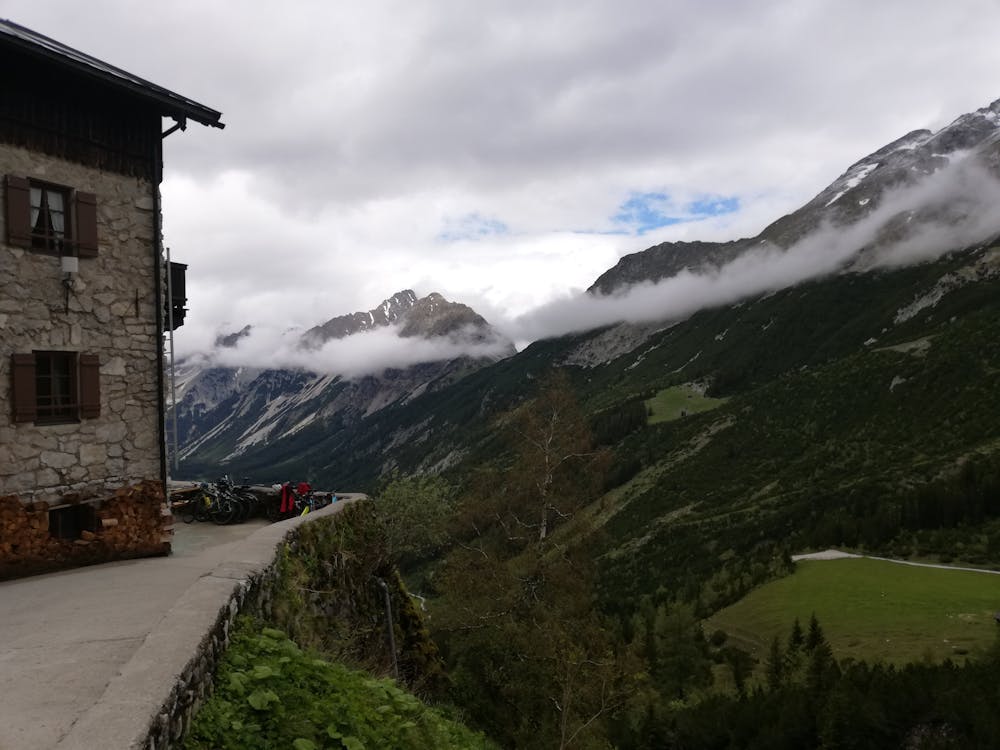
This is a beast of a ride across a truly wild part of the Alps. It is suitable for ebikes and most people who do it these days do it battery-assisted! Doing it purely under your own steam is a big challenge but it can be split into 2 days if you stay at the Karwendelhaus or in Hinteriß village.
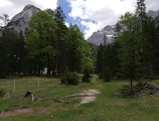
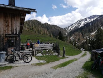
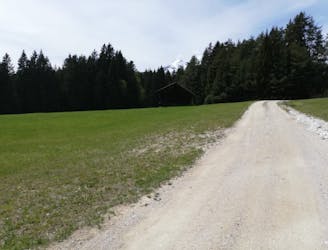
The trip begins in the small village of Scharnitz which can be reached by train or car from Innsbruck. Head east out of Scharnitz and follow the large jeep track that winds north-east and then due east up to the Karwendelhaus. The first 1.5 hours of the roughly 2 hour journey up to the Karwendelhaus is easy and thoroughly enjoyable, with no technical riding, beautiful views and not much height gain. However, the final 30 minutes up to the hut is steep and unrelenting. Keep your head down, keep grinding and remember that one of the best situated huts in Austria awaits you with a vast array of delicious food and beverages!
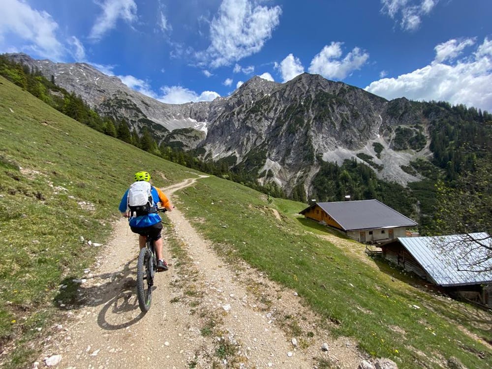
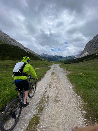
Enjoy a break at the hut and then make the long descent down towards Hinterriß village at the northern edge of the Karwendel National Park. The descent is almost all on jeep tracks of varying quality and presents minimal technical challenges but fabulous high mountain views. If you keep looking back over your shoulder on the descent you will be staggered by just how dramatic the peaks of the Karwendel are.
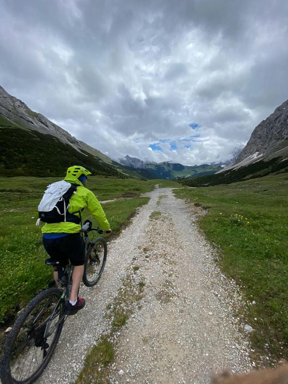
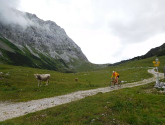
There is no requirement to go to Hinteriß itself if you don't want to - if you'd prefer to just keep plugging away then head towards the village of Eng (which is well signposted) when you reach the valley floor. Follow a tarmac road up past the Hagelhütten, cross a large clearing and then, at the far end, turn left and begin the long climb up to the Plumsjoch Col. The climb is incredibly scenic and on the way up you'll see some of the finest mountain scenery anywhere in the Eastern Alps.
Keep grinding away and after roughly 1 - 1.5 hours of effort you'll arrive at the broad Plumsjoch Col. The col is home to a hut of the same name, and a stop for a drink is highly recommended, especially because you're more or less done effort-wise now!
Drop north-east off the col and descend the extremely steep and rocky jeep track down towards the Gern Alm hut. The jeep track is tough to descend and there are some large drops off to the side at times so there's no shame in getting off and descending on foot down the steepest sections. Better safe than sorry...
Upon arriving at the Gern Alm, follow a jeep track and then a road down to the Achensee lake and further on down to Jenbach, from where you can catch a train back to Innsbruck.
Difficult
Mostly stable trail tread with some variability featuring larger and more unavoidable obstacles that may include, but not be limited to: bigger stones, roots, steps, and narrow curves. Compared to lower intermediate, technical difficulty is more advanced and grades of slopes are steeper. Ideal for upper intermediate riders.

Some trail sections have exposed ledges or steep ascents/descents where falling could cause serious injury.
Little chance of being seen or helped in case of an accident.
679 m away
A long and scenic ride into one of the most remote valleys in Austria
Moderate Mountain Biking
690 m away
A short but physically challenging ride through some of the most rugged scenery in Austria.
Moderate Mountain Biking
692 m away
An über classic loop through one of Europe's wildest mountain ranges
Moderate Mountain Biking
9.3 km away
A cruisy loop through quiet and atmospheric forests
Moderate Mountain Biking

7 routes · Alpine Climbing · Mountain Biking · Hiking · Trail Running
6 routes · Mountain Biking

24 routes · Mountain Biking
7 routes · Alpine Climbing · Mountain Biking · Hiking · Ski Touring