1.3 km away
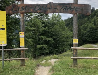
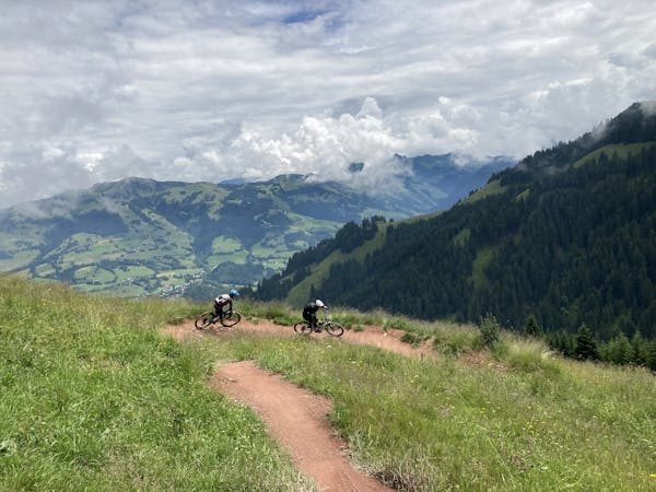
Single Trail Hahnenkamm (S1)
One of the most popular and accessible MTB trails on the Hahnenkamm.
Moderate Mountain Biking
- Distance
- 7.2 km
- Ascent
- 19 m
- Descent
- 903 m
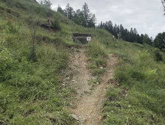
The longest single trail in Tirol.
Mountain Biking Difficult

With a total length of 7.1kms, the Fleckalm Trail is the longest single trail in Tyrol. Not only will you enjoy some impressive mountain scenery, but you will also experience a variety of terrain all along the way down this trail for around 1,100 meters of elevation drop. This trail - besides an endless descent - includes root passages, small jumps, berms, rock gardens, and fast speed sections, giving you the ultimate enduro experience.
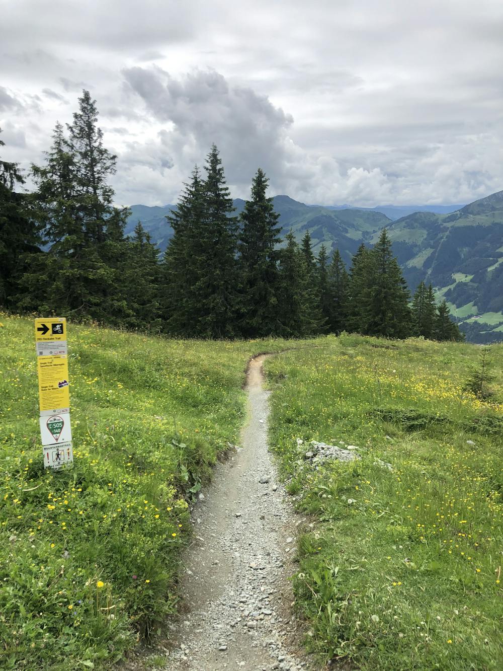
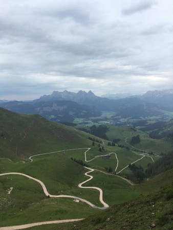
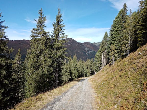
The new Fleckalm gondola will bring you to the top station at 1797 meters above sea level in no time. Once at the top, you cannot get lost by following the signs to the trail entrance. The first meters of altitude are covered on the forest road, but hey - don’t get mad about this elevation waste - the trail is long enough that you won’t be disappointed at all.
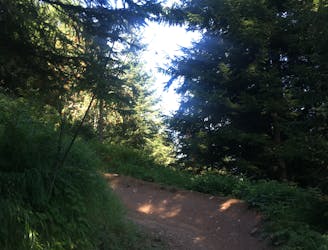
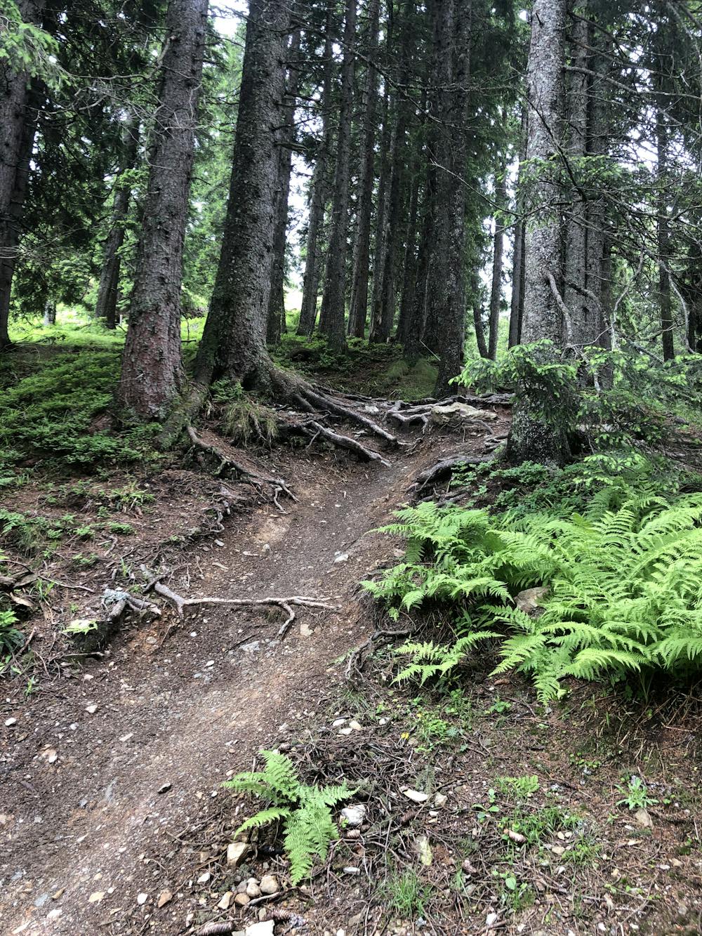
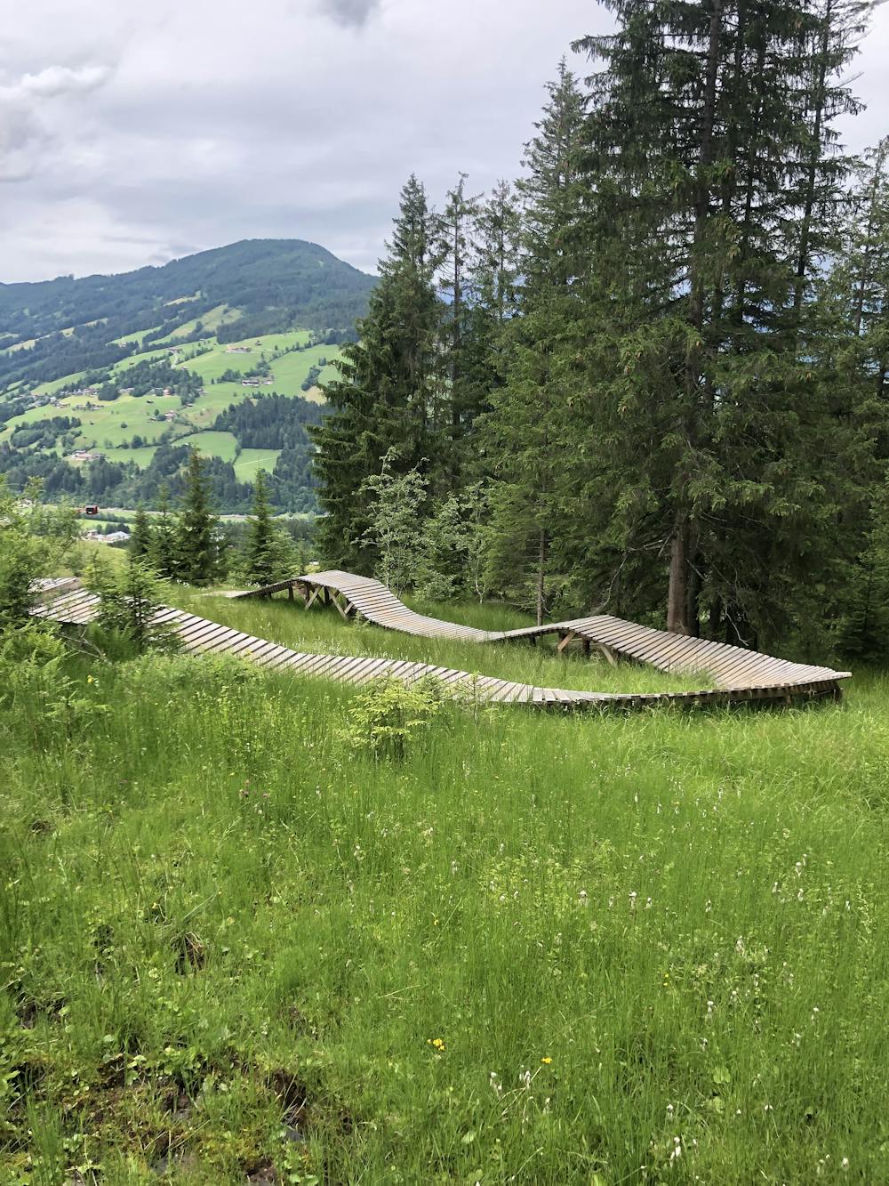
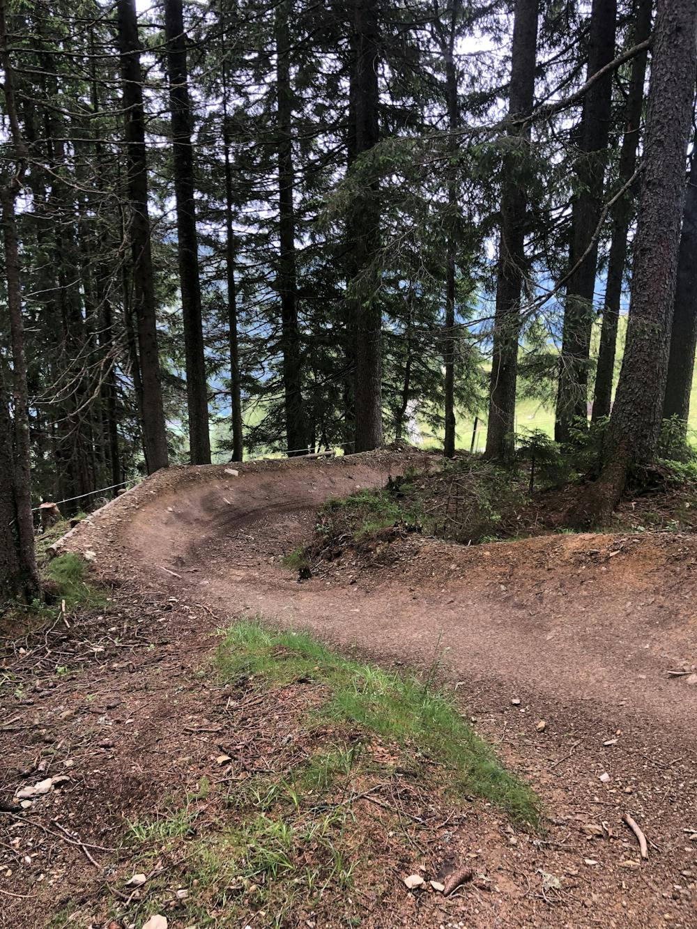
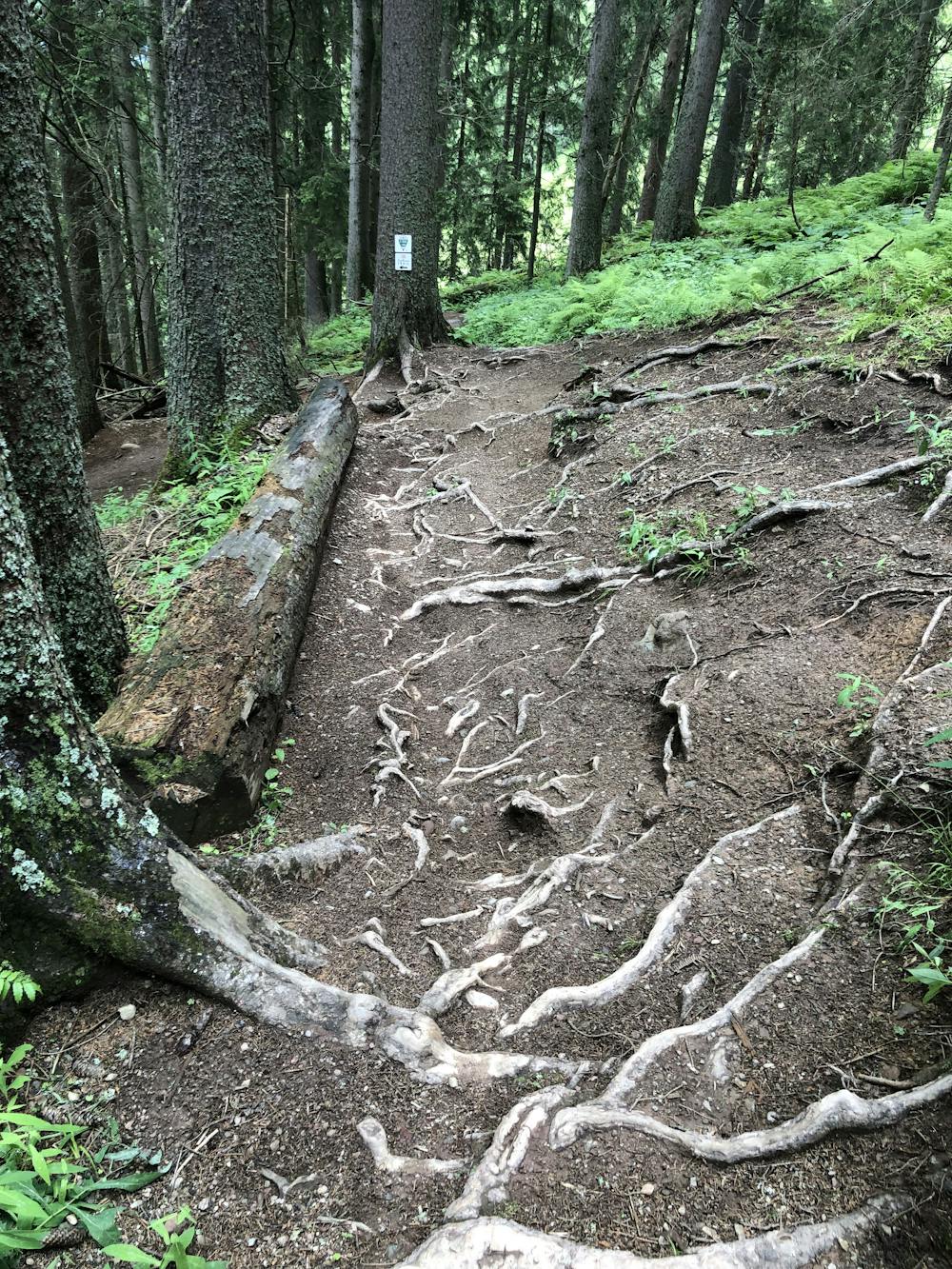
The trail goes along the edge of the slope through a root-covered forest section, which then switches to the lush green of the alpine meadows, where a few fun berms and smaller tables await. Diving into the steep forest, you’ll enjoy many roots and slippery terrain - and you’ll keep your heart rate high due to short counter ascents.
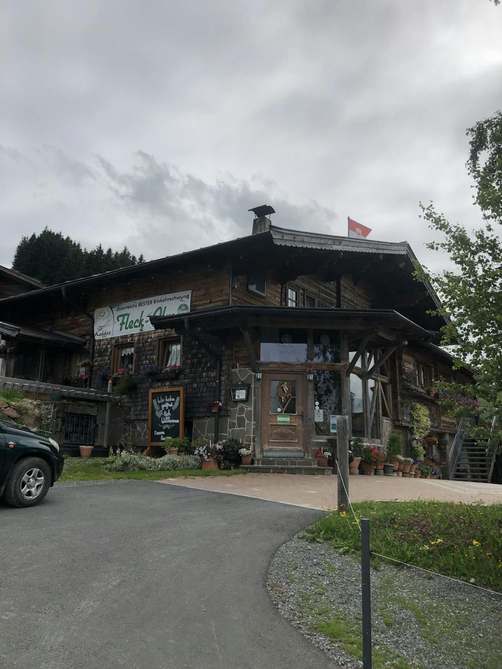
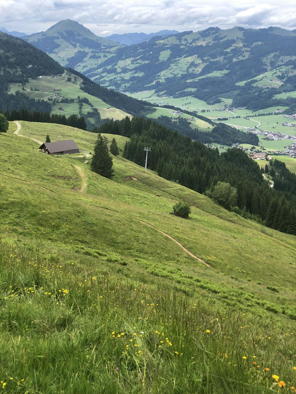
You’ll soon get to the Fleckalm Hut, where you can stop for a beer or a coffee and enjoy a wonderful panoramic view over the valley from the sun terrace just before dropping into the last flow section of the trail. Fast berms and smaller jumps provide you with a variety of surfaces on this section, riding along the edge of the forest, further over beautiful alpine meadows, and finally through a wonderful forest back to the parking lot of the gondola station.
This demanding route requires a certain level of concentration, fitness, and riding technique. Especially when wet, this trail gets really slippery due to the high number of roots and usually takes multiple days before drying out after a rainfall, given that it’s mostly north facing.
Difficult
Mostly stable trail tread with some variability featuring larger and more unavoidable obstacles that may include, but not be limited to: bigger stones, roots, steps, and narrow curves. Compared to lower intermediate, technical difficulty is more advanced and grades of slopes are steeper. Ideal for upper intermediate riders.

The trail contains some obstacles such as outcroppings and rock which could cause injury.
Away from help but easily accessed.
1.3 km away
One of the most popular and accessible MTB trails on the Hahnenkamm.
Moderate Mountain Biking
4.7 km away
The trail with endless berms—practice your cornering skills!
Moderate Mountain Biking
4.8 km away
Technical lift-served single trail in Kirchberg.
Difficult Mountain Biking
4 routes · Mountain Biking
10 routes · Mountain Biking
4 routes · Mountain Biking