21 m away
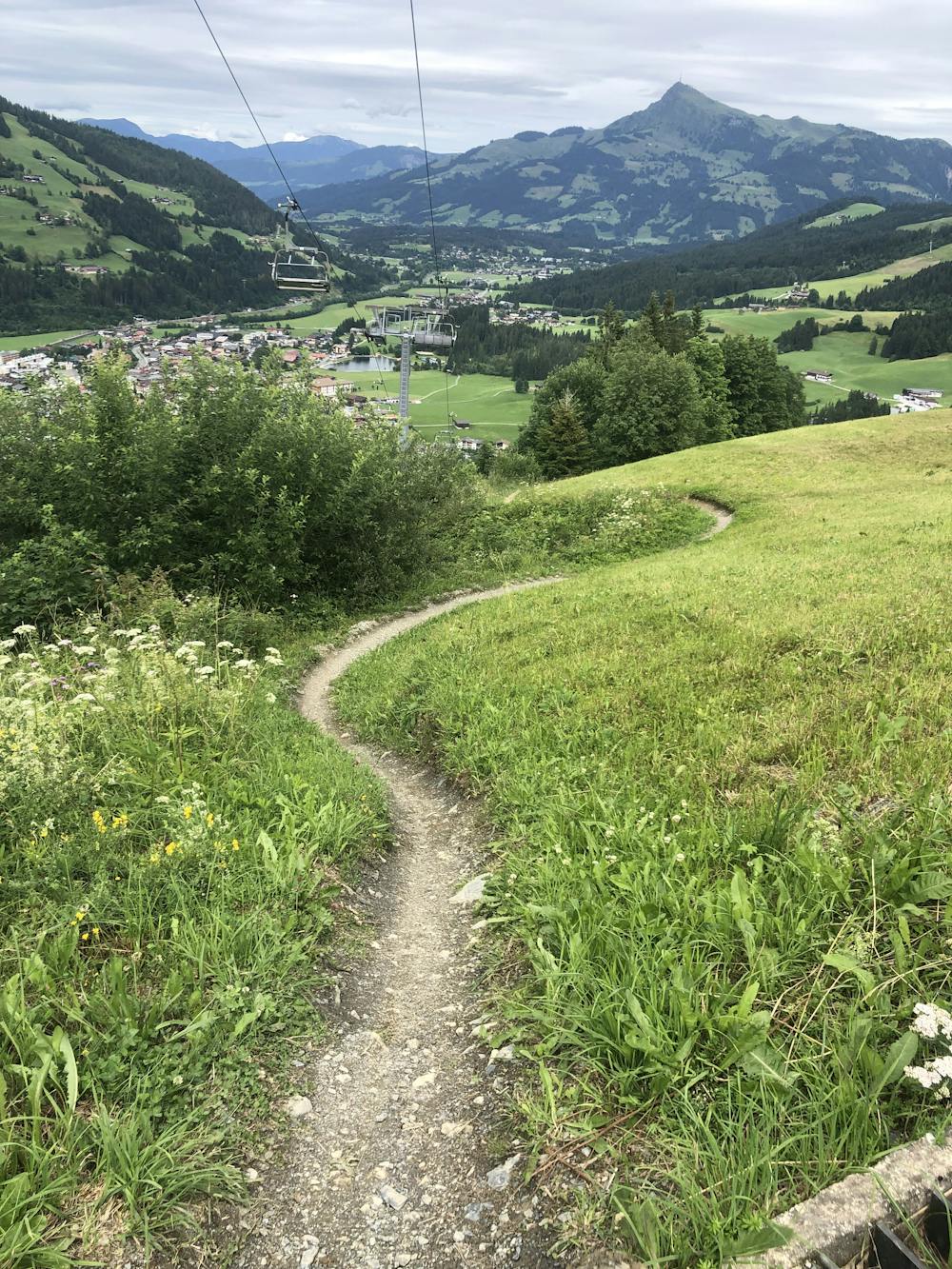
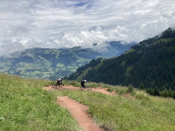
Lisi Osl Trail
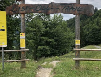
The trail with endless berms—practice your cornering skills!
Moderate Mountain Biking
- Distance
- 3.3 km
- Ascent
- 0 m
- Descent
- 432 m
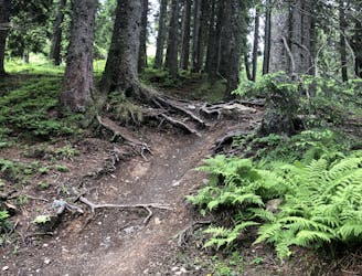
Technical lift-served single trail in Kirchberg.
Mountain Biking Difficult

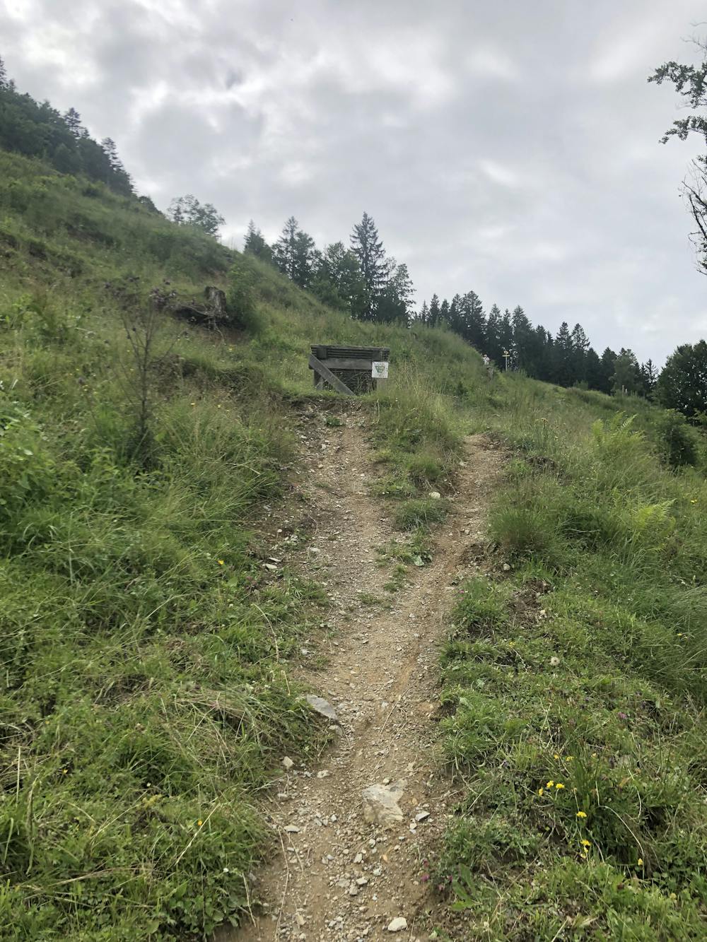
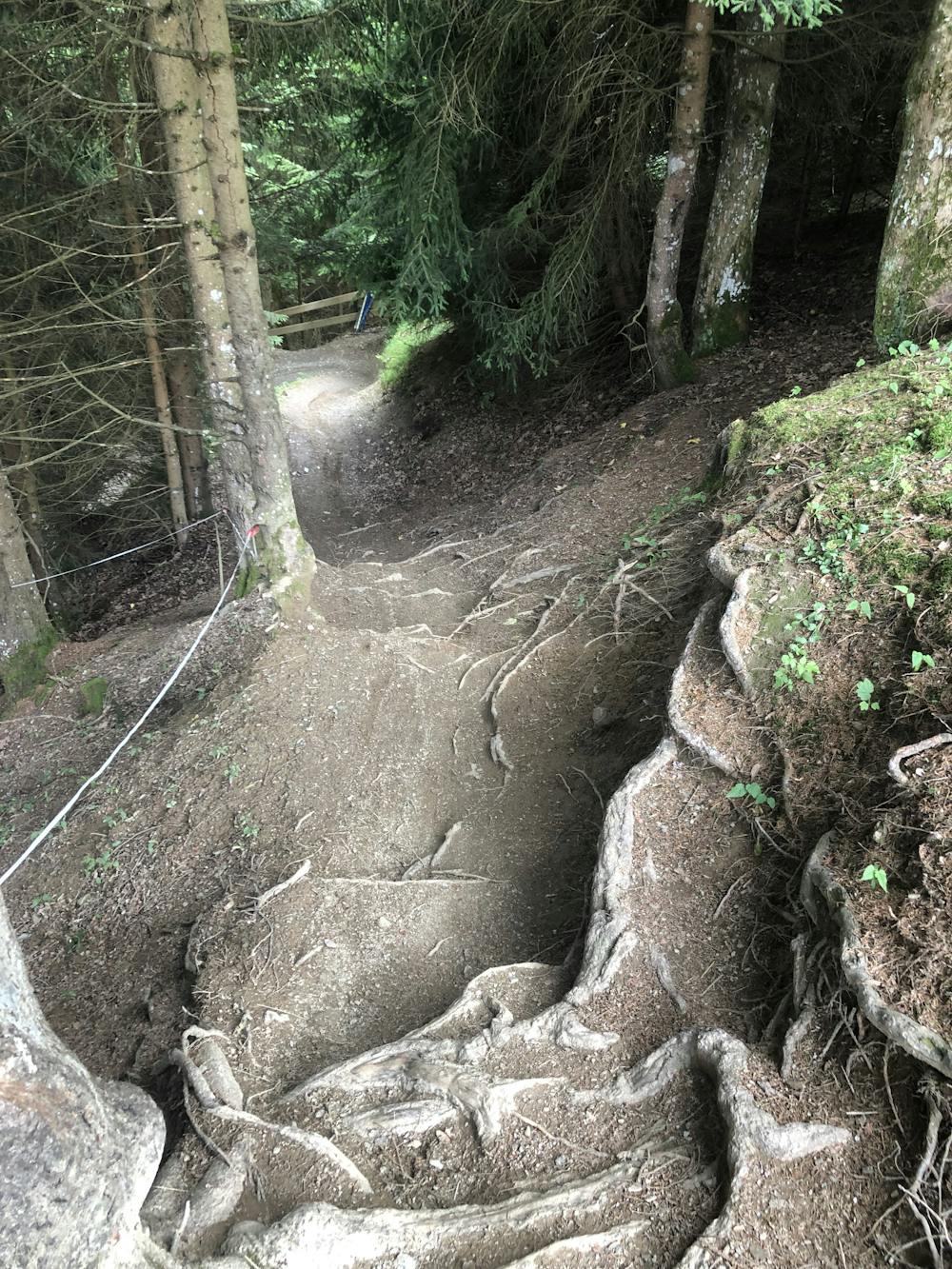
The Gaisberg Trail is located on the mountain with the same name serviced by the Gaisberg chairlift, in Kirchberg in Tirol. It’s an enjoyable trail for those who like to rush downhill with a lot of speed. The trail is about two kilometers long and offers everything that makes for a real downhill course: partly soft forest surface, many roots, fast sections, and rapid jumps over terrain edges or wooden structures. Don’t worry, though: chicken routes are always available on every major feature. A certain level of riding technique is required for the challenging descent, which covers over 450 meters in altitude.
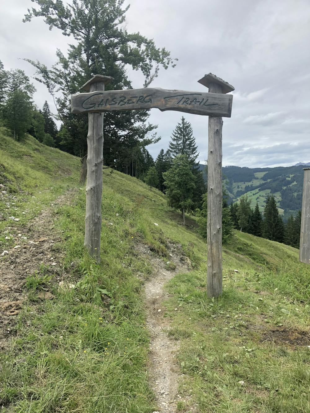
The trail start is located directly at the mountain station of the Gaisberg chairlift, on the opposite side from the Lisi Osl Trail. The climb to the entrance of this trail is really short. If you want a longer climb and want to skip the chairlift, you could reach the start from Kirchberg village through the 203 mountain bike route in less than 1.5 hours. This climb would take you through meadows and forest, always with the company of cows that spend the day in the fields around this area.
At the beginning, the trail doesn't present any difficult features. It's just a mellow single trail - perfect for warming up and getting used to the downhill. The more challenging section begins from halfway onwards - a series of root passages, fast approach curves, large and smaller drops, and tables that create the perfect downhill feeling.
The Gaisberg Trail ends near the valley station of the Gaisberg lift, where you can be transported comfortably back to the top or head back to the tiny village on Kirchberg, where many bars and restaurants have a lot of food and drinks to offer.
Difficult
Mostly stable trail tread with some variability featuring larger and more unavoidable obstacles that may include, but not be limited to: bigger stones, roots, steps, and narrow curves. Compared to lower intermediate, technical difficulty is more advanced and grades of slopes are steeper. Ideal for upper intermediate riders.

The trail contains some obstacles such as outcroppings and rock which could cause injury.
Away from help but easily accessed.
21 m away
The trail with endless berms—practice your cornering skills!
Moderate Mountain Biking
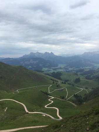
4.8 km away
The longest single trail in Tirol.
Difficult Mountain Biking
5.5 km away
One of the most popular and accessible MTB trails on the Hahnenkamm.
Moderate Mountain Biking
4 routes · Mountain Biking
10 routes · Mountain Biking
4 routes · Mountain Biking