39 m away
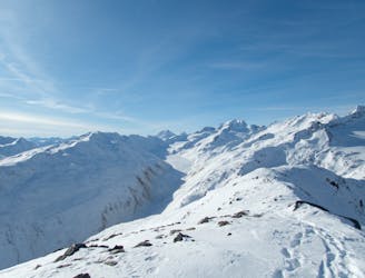
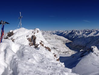
Otztal Ski Tour: Vernagt Hut to Vent via the Wildspitze Summit
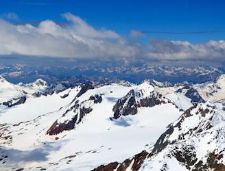
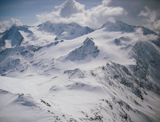
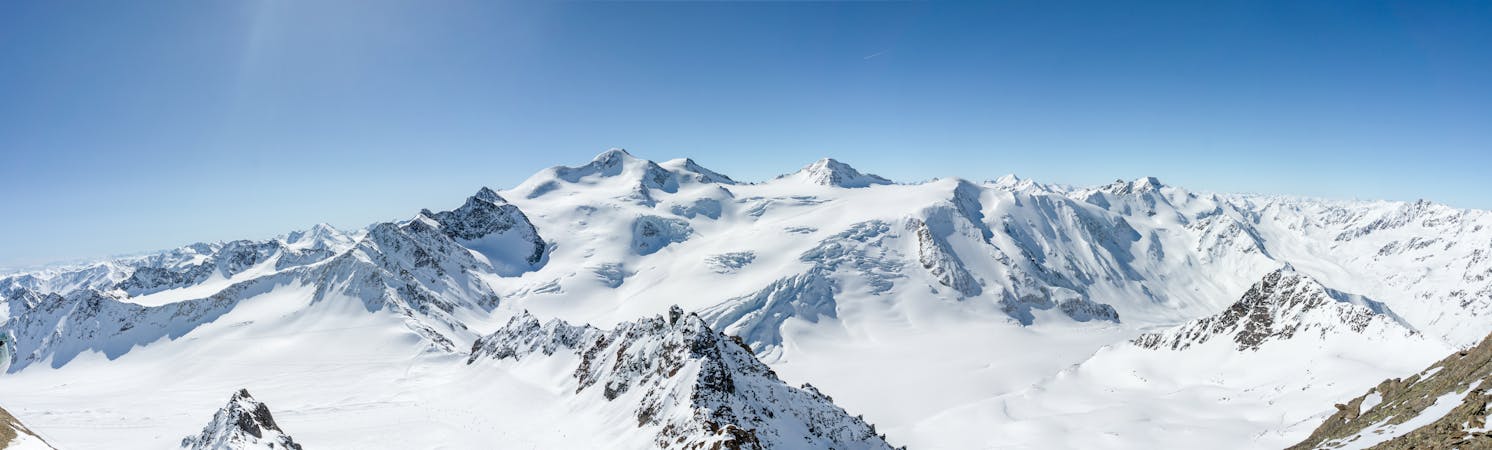
Day 6: The jewel in the Otztal crown, the Wildspitze summit day.
Difficult Ski Touring
- Distance
- 12 km
- Ascent
- 1.2 km
- Descent
- 1.3 km
Nice summit between the two most beautiful hütte around !
Ski Touring Difficult

This tour follow the normal way, from this side, to the summit. We reached the Guslarferner by the right handside of the valley. Then you can ski tour all the way to the top ! This route is never steep and it is really enjoyable.


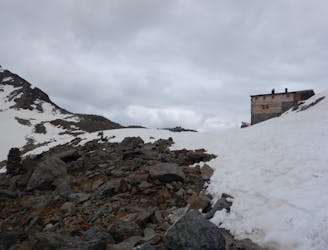
Finally you go all the way down to the Brandenburger Haus to take a rest and enjoy a beautiful sunset ! This is a really beautiful place to stay overnight !
Difficult
Serious gradient of 30-38 degrees where a real risk of slipping exists.

Exposure is limited to that of the slope itself. Getting hurt is still likely if the slope is steep and/or the snow is hard.

Away from help but easily accessed.
39 m away
Day 6: The jewel in the Otztal crown, the Wildspitze summit day.
Difficult Ski Touring
3.2 km away
Day 5: Less horizontal distance today but a solid ascent to the Fluchtkogel summit, then down through a col to the Vernagt Hut
Difficult Ski Touring
3.2 km away
Day 4: Day Tour from the Hospice up one of several possible peaks
Difficult Ski Touring
6.7 km away
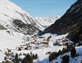
Day 1: A positioning day to the Martin Busch Hut
Moderate Ski Touring
7.5 km away
Day 2: Day Tour up the Hinter Schwarzenjoch from the Martin Busch Hut.
Difficult Ski Touring
7.5 km away
Day 3: Similaun summit and Otzis memorial visit, before descent to the Hochjoch Hospice
Difficult Ski Touring
6 routes · Ski Touring

17 routes · Ski Touring