47 m away
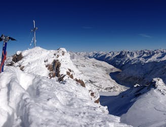
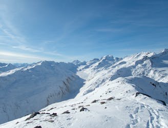
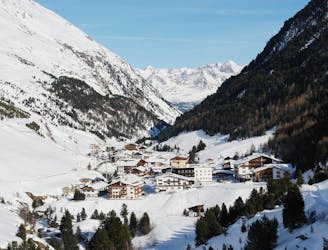
Otztal Ski Tour: Langtaufererspitze, 3527m
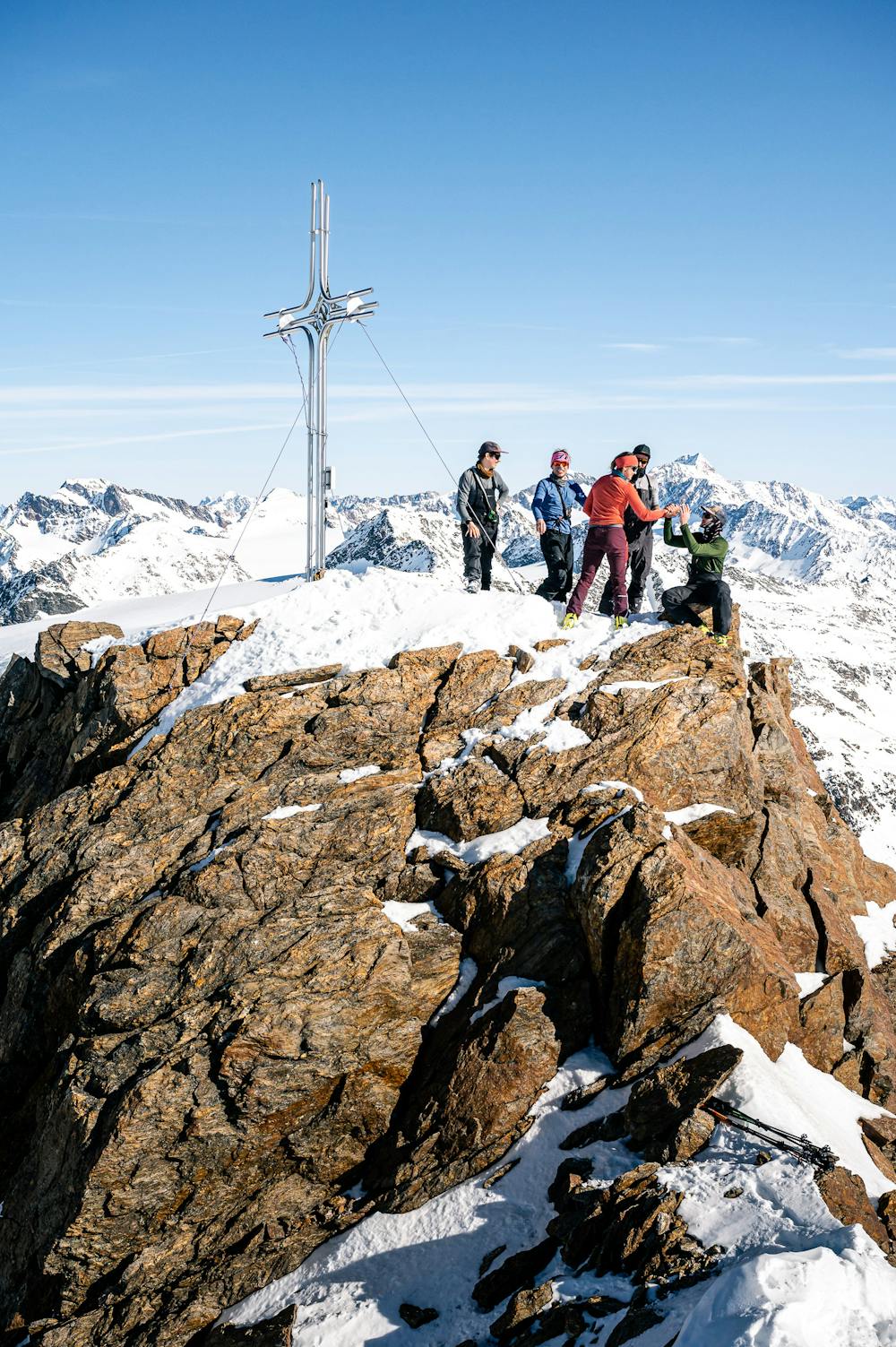
Day 4: Day Tour from the Hospice up one of several possible peaks
Difficult Ski Touring
- Distance
- 16 km
- Ascent
- 1.4 km
- Descent
- 1.4 km
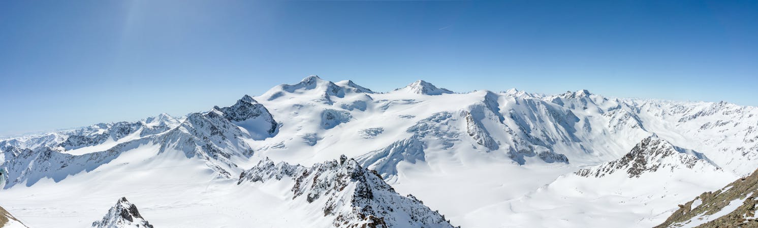
A classic and a less classic one ! Good skiing on the east face of the Weisskugel.
Ski Touring Severe

That was the longest day on the skis of this project. You start by going up a flat and inifinite glacier from the Hochjoch-Hospiz. After some hours you finally see the East face and the summit of the Weisskugel, what a beauty ! But the way is still long and need a good physical condition. After we skied the Weisskugel east face we went to the Langtauferer spitze !by crossing the south slopes, better be there early if it is a warm day. This second summit is also worth it. It offers you a nice way down and avoid a part of the flat glacier.
Then to get out of the valley, it is important to be not too late because the last part in the Rofenache is exposed to wet avalanches due to the south slopes on the top of it. Take care here !
Severe
Steep skiing at 38-45 degrees. This requires very good technique and the risk of falling has serious consequences.

Exposure is limited to that of the slope itself. Getting hurt is still likely if the slope is steep and/or the snow is hard.

Away from help but easily accessed.
47 m away
Day 4: Day Tour from the Hospice up one of several possible peaks
Difficult Ski Touring
51 m away
Day 5: Less horizontal distance today but a solid ascent to the Fluchtkogel summit, then down through a col to the Vernagt Hut
Difficult Ski Touring
3.3 km away
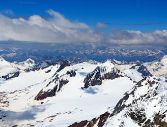
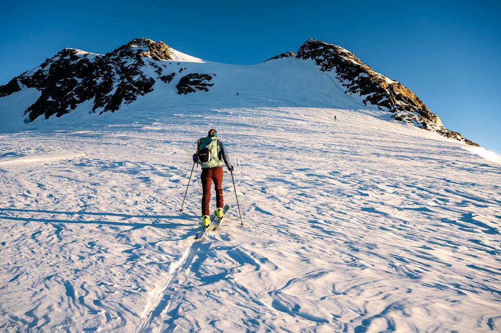
Day 6: The jewel in the Otztal crown, the Wildspitze summit day.
Difficult Ski Touring
4.9 km away
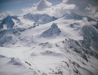
Day 3: Similaun summit and Otzis memorial visit, before descent to the Hochjoch Hospice
Difficult Ski Touring
4.9 km away
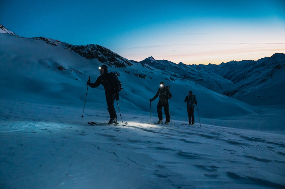
Day 2: Day Tour up the Hinter Schwarzenjoch from the Martin Busch Hut.
Difficult Ski Touring
7 km away
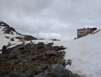
Day 1: A positioning day to the Martin Busch Hut
Moderate Ski Touring
6 routes · Ski Touring

17 routes · Ski Touring