103 m away
Otztal Ski Tour: Vent to the Martin Busch Hut
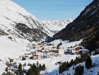
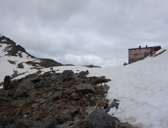
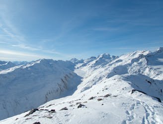
Day 1: A positioning day to the Martin Busch Hut
Moderate Ski Touring
- Distance
- 7.1 km
- Ascent
- 664 m
- Descent
- 55 m
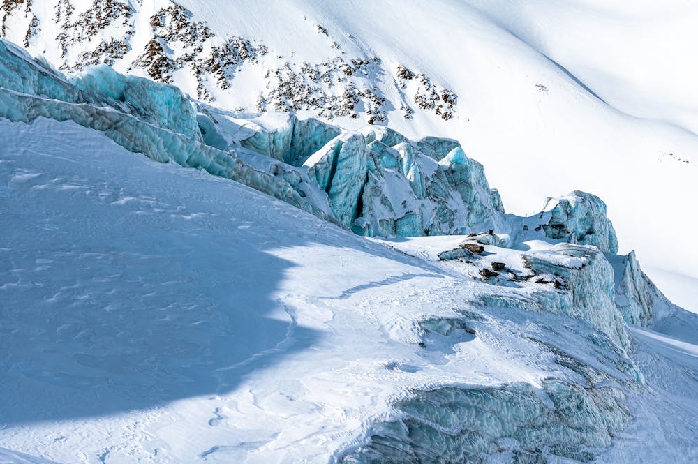
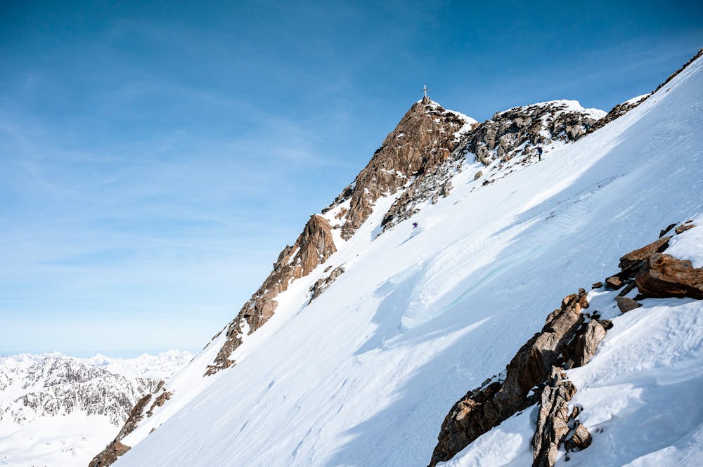
Impressive icy north face to ski
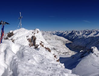
Ski Touring Extreme

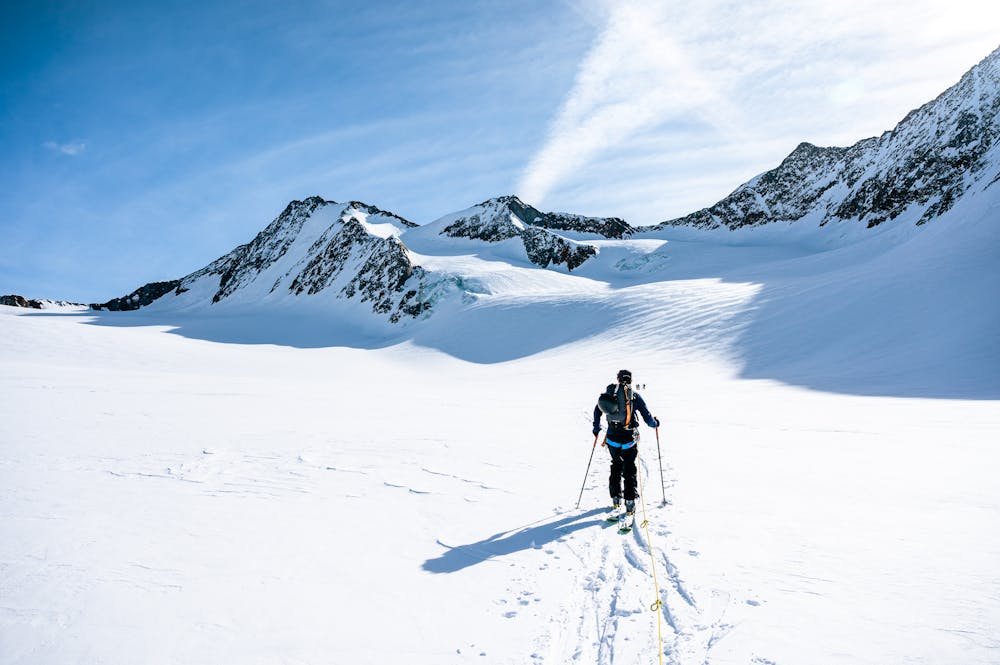
This tour is long but worth it. The start from Vent is easy, as usual you go up a long valley on a forest road. Arrived below the Martin Busch hütte you start the real tour, with an impressive view on the Similaun north-east face. The glacier is easy to go up. Then you finally see the big and icy (not always) north face of the Hintere Schwärze. This face is really known around here, and you understand why when you see it ! We went up the normal way, which is not too difficult but requires alpine climb skills for the last part on the ridge. We were lucky to be able to ski it that early in the season (february) normally you have to wait at least May. That made this day really nice !
Extreme
Extreme skiing terrain above 45 degrees. These routes are reserved for experienced experts.

As well as the slope itself, there are some obstacles (such as rock outcrops) which could aggravate injury.
Away from help but easily accessed.
103 m away
Day 1: A positioning day to the Martin Busch Hut
Moderate Ski Touring
6.5 km away
Day 2: Day Tour up the Hinter Schwarzenjoch from the Martin Busch Hut.
Difficult Ski Touring
6.5 km away
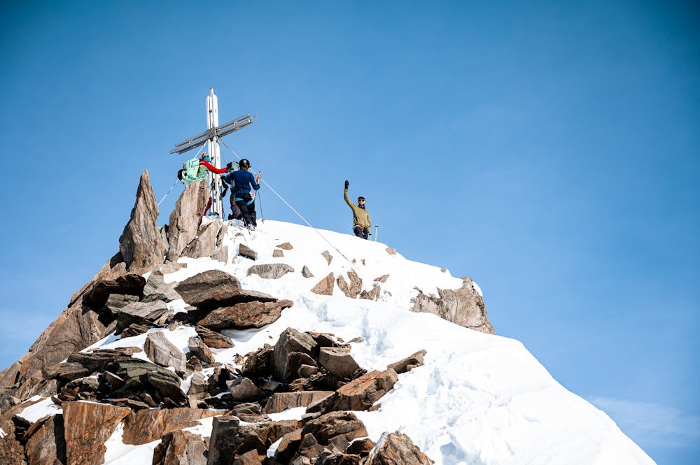
Day 3: Similaun summit and Otzis memorial visit, before descent to the Hochjoch Hospice
Difficult Ski Touring
6.7 km away
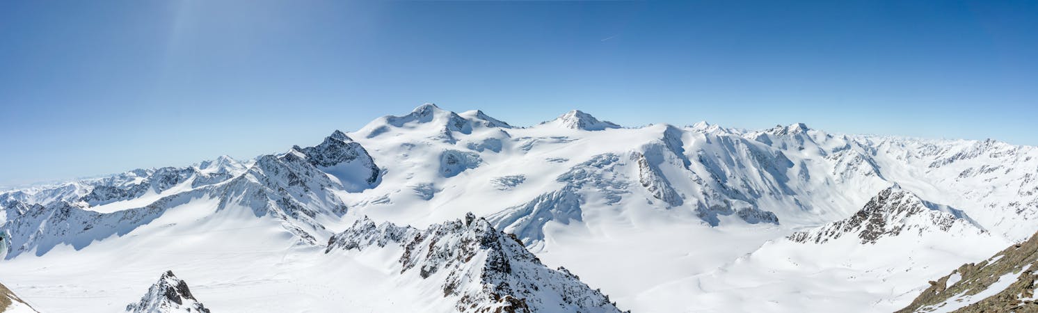
Day 6: The jewel in the Otztal crown, the Wildspitze summit day.
Difficult Ski Touring
6.9 km away
Day 5: Less horizontal distance today but a solid ascent to the Fluchtkogel summit, then down through a col to the Vernagt Hut
Difficult Ski Touring
6.9 km away
Day 4: Day Tour from the Hospice up one of several possible peaks
Difficult Ski Touring
6 routes · Ski Touring

17 routes · Ski Touring