58 m away
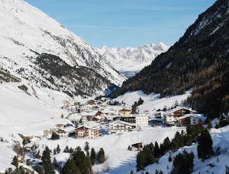
Otztal Ski Tour: Martin Busch Hut to Hochjoch Hospice via Similaun Summit
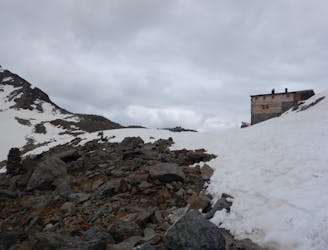
Day 3: Similaun summit and Otzis memorial visit, before descent to the Hochjoch Hospice
Difficult Ski Touring
- Distance
- 17 km
- Ascent
- 1.6 km
- Descent
- 1.7 km
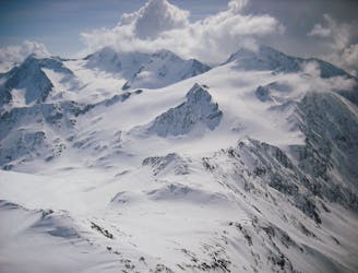
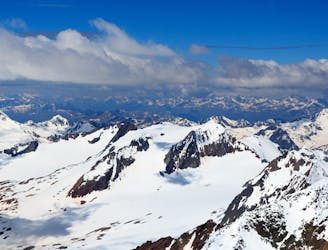
Number 7 on the list, classic but beautiful summit of the Ötztal alps.
Ski Touring Moderate

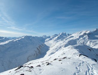
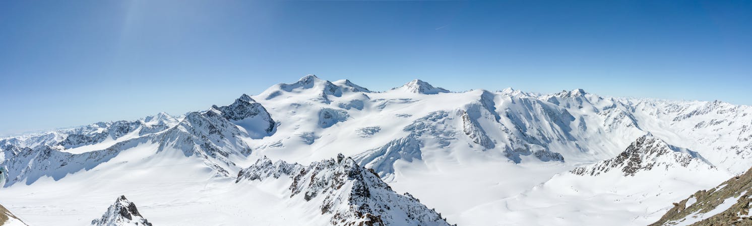
This is a popular ski touring route which is generally considered to be moderate. It's not remote, it features low exposure (e1) and is typically done between February and April. From a low point of 2.5 km to the maximum altitude of 3.6 km, the route covers 13 km, 1147 vertical metres of ascent and 1127 vertical metres of descent. It's graded 3.1 and Labande grade 3. You'll need rope, skins, crampons and glacier kit to complete it safely.

From Vent to the Martin Busch hutte the first day. The second day starts with long flat valley followed by a nice gletscher tour to finally reach the short final ridge. Easy but beautiful tour !
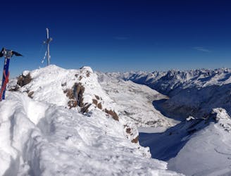
This is the normal route to the summit.
Moderate
Slopes become slightly steeper at around 25-30 degrees.

Exposure is limited to that of the slope itself. Getting hurt is still likely if the slope is steep and/or the snow is hard.
Close to help in case of emergency.
58 m away
Day 3: Similaun summit and Otzis memorial visit, before descent to the Hochjoch Hospice
Difficult Ski Touring
64 m away
Day 2: Day Tour up the Hinter Schwarzenjoch from the Martin Busch Hut.
Difficult Ski Touring
4.9 km away
Day 5: Less horizontal distance today but a solid ascent to the Fluchtkogel summit, then down through a col to the Vernagt Hut
Difficult Ski Touring
4.9 km away
Day 4: Day Tour from the Hospice up one of several possible peaks
Difficult Ski Touring
6.7 km away
Day 1: A positioning day to the Martin Busch Hut
Moderate Ski Touring
7.6 km away
Day 6: The jewel in the Otztal crown, the Wildspitze summit day.
Difficult Ski Touring
6 routes · Ski Touring

17 routes · Ski Touring