1 m away
Stempeljoch
A truly wild tour through a series of stunning valleys.
Difficult Ski Touring
- Distance
- 14 km
- Ascent
- 977 m
- Descent
- 2.5 km

This trip feels quite long and varied but somehow only requires a short (10 minute) hike and a single ascent on skins. When you see the scenery you pass through, you'll understand what a small price that is to pay for this adventure!
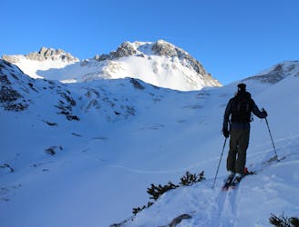
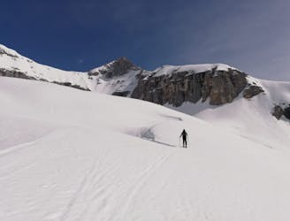
Start at the top of the Nordkette lift, at the Hafelekar station. Hike up to the Hafelekarspitze peak (which takes about 10 minutes to reach) and then wave goodbye to the Inn Valley before skiing east briefly then north into the deep Mandltal Valley below. Descend to the bottom of the valley, seeking out the best snow and terrain. The further right you can end up in the valley, the shorter the next ascent will be.
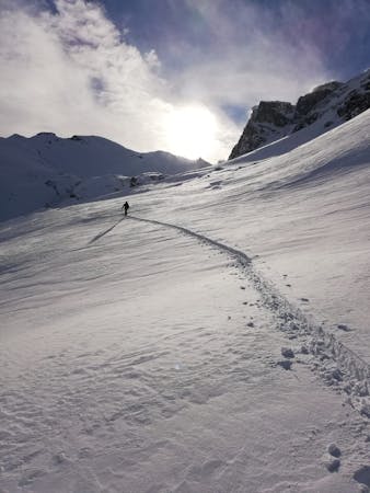
Skin due east up the Mandltal, heading directly towards the Mandlscharte Col, which is clearly visible at the head of the valley. The closer you get to the Col the steeper the climb gets and the narrower the skin track zig-zags get. It can be easier to bootpack the last 25 metres to the Col but in good conditions you can skin all the way.
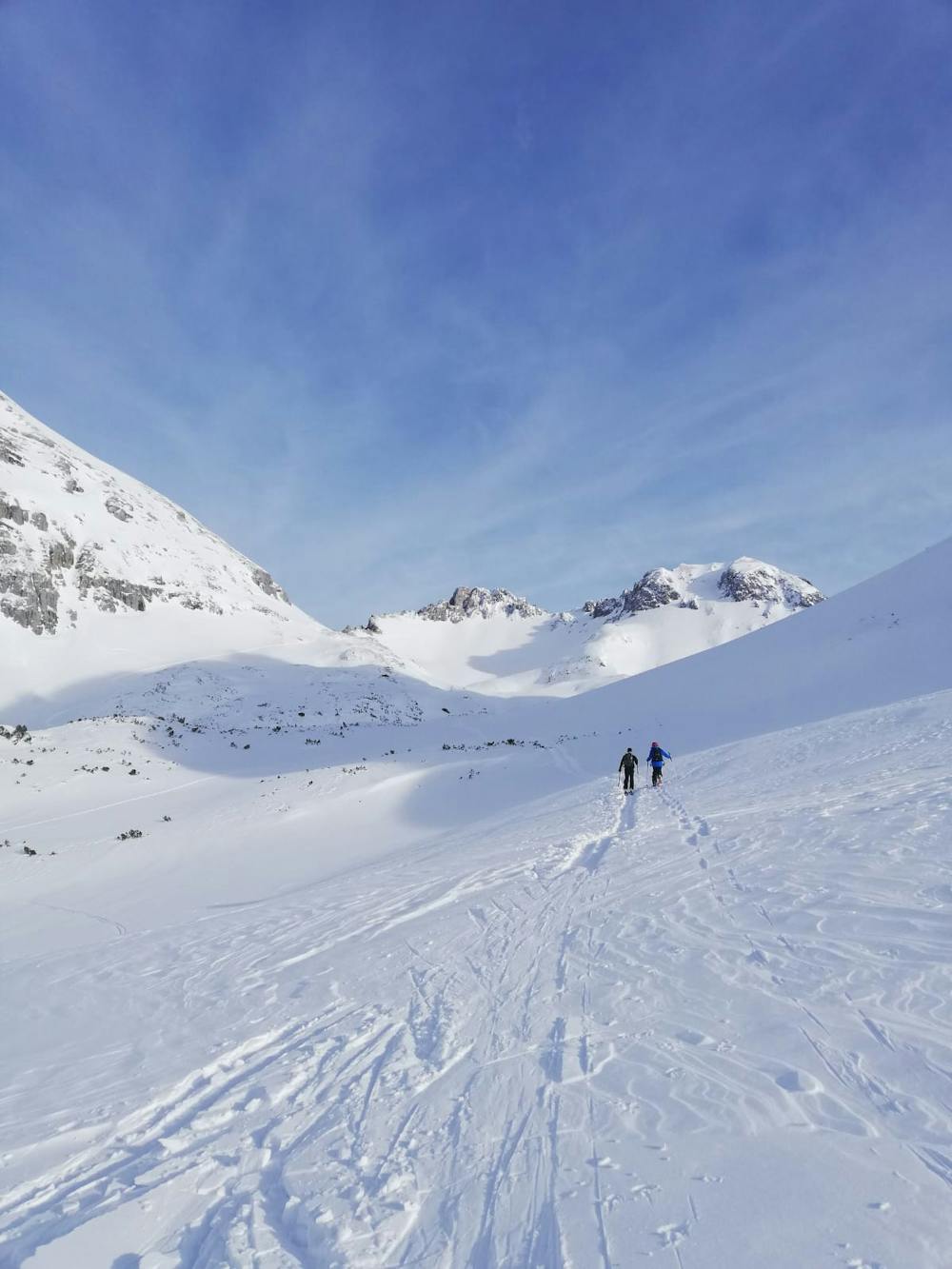
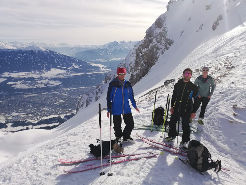
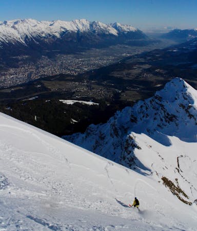
The view from the Mandlscharte is amazing, with the Inn Valley far below you and the peaks of the Karwendel all around. Once you're done looking at the vista, drop off the Col eastwards and then swing around to the south to reach the wide Arzler Scharte Col. Continue skiing over this and drop into the huge funnel shaped valley below it.
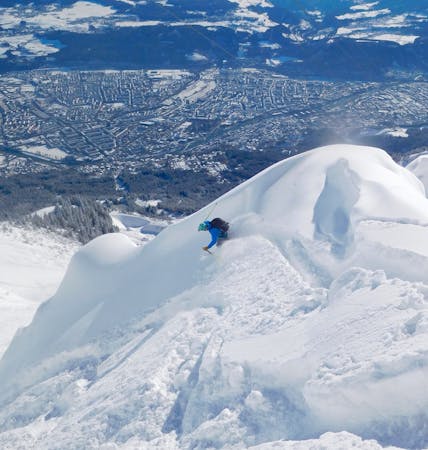
The valley is great to ski in good conditions but can be scary and extremely dangerous when icy or avalanche prone. As such, only ski this line when there is a good covering of stable snow.
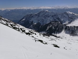
Towards the bottom of the valley you start encountering trees and these get thicker as you get lower. Keep pushing through them to reach a flat jeep track. Turn right on this and ski/sidestep/pole along it easily for 15 minutes to reach the Arzler Alm mountain hut. Grab a drink and a bite to eat and then continue down to the foot of the Nordkette lift system. In all but the snowiest of conditions you'll need to walk most of the way from Arzler Alm back to the lift but it's not far and the forest you pass through is peaceful and beautiful.
Once back at the lift, either carry on skiing for the day or head back down the Hungerburgbahn train to Innsbruck.
Difficult
Serious gradient of 30-38 degrees where a real risk of slipping exists.

As well as the slope itself, there are some obstacles (such as rock outcrops) which could aggravate injury.

In the high mountains or remote conditions, all individuals must be completely autonomous in every situation.
1 m away
A truly wild tour through a series of stunning valleys.
Difficult Ski Touring
1 m away
The first half of a magnificent 2 day ski journey
Severe Ski Touring
8.5 km away
Crossing the Karwendel via its highest peak, this is an epic ski touring adventure by any standards.
Severe Ski Touring
5 routes · Ski Touring
5 routes · Ski Touring

17 routes · Ski Touring

50 routes · Freeride Skiing · Ski Touring
8 routes · Freeride Skiing · Ski Touring

4 routes · Ski Touring

25 routes · Ski Touring
7 routes · Alpine Climbing · Mountain Biking · Hiking · Ski Touring