551 m away
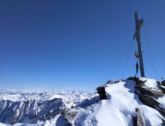
Zwieselbacher Roßkogel
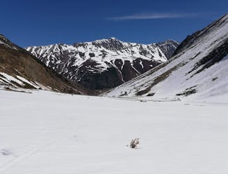
A mellow tour up a peaceful valley and then into a huge, open bowl.
Moderate Ski Touring
- Distance
- 15 km
- Ascent
- 1.5 km
- Descent
- 1.5 km
www.runskitirol.com/skimo/gaiskogel-north
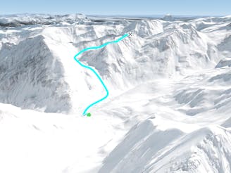
Ski Touring Severe

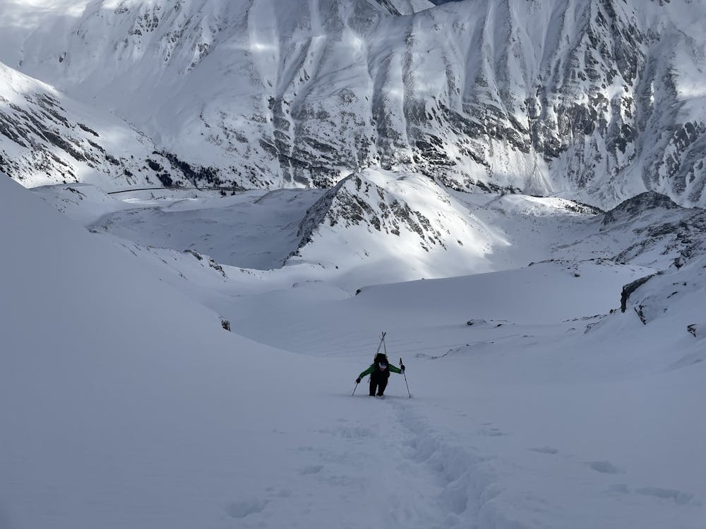
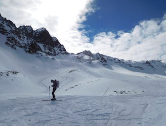
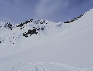
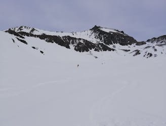
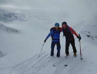
This is a popular ski touring route which is generally considered to be severe. It's not remote, it features medium exposure (e2) and is typically done between January and April. From a low point of 1.7 km to the maximum altitude of 2.8 km, the route covers 7.6 km, 1106 vertical metres of ascent and 1106 vertical metres of descent. It's graded 3.3 and Labande grade 5. You'll need skins to complete it safely.
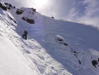
A great tour to the summit of Gaiskogel (2820m) in Kühtai. The north side of the mountain is a lot less visited and a lot more technically interesting ascend route.
Severe
Steep skiing at 38-45 degrees. This requires very good technique and the risk of falling has serious consequences.

As well as the slope itself, there are some obstacles (such as rock outcrops) which could aggravate injury.

Close to help in case of emergency.
551 m away
A mellow tour up a peaceful valley and then into a huge, open bowl.
Moderate Ski Touring
2.3 km away
A wild and remote peak with spectacular views across some rarely visited valleys.
Moderate Ski Touring
2.4 km away
A wild peak in a stunning position.
Moderate Ski Touring
3.2 km away
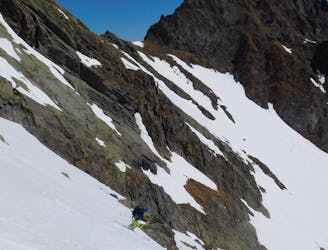
A fun little mini adventure which feels remote despite its proximity to civilisation.
Severe Ski Touring
5.3 km away
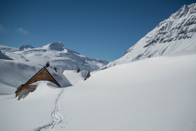
A roundtrip from a great ski area to a great mountain hut!
Difficult Ski Touring
5.3 km away
Lift access helps to make this a short tour with big rewards
Difficult Ski Touring
5.5 km away
A classic little 2 hour ski tour
Difficult Ski Touring
6.4 km away
Einer der schönsten Anstiege im Sellrain traumhafter Rundumblick und herrliche Firnhänge belohnen den steilen Anstieg durch das wundervolle Kar.
Moderate Ski Touring
6.4 km away

Lange Skihochtour in das Herz der Stubaier Alpen.
Severe Ski Touring
6.4 km away
Nordseitige Pulverabfahrten mit einem einsamen kreuzlosen Gipfel
Easy Ski Touring
5 routes · Ski Touring
4 routes · Ski Touring

50 routes · Freeride Skiing · Ski Touring

25 routes · Ski Touring