38 m away
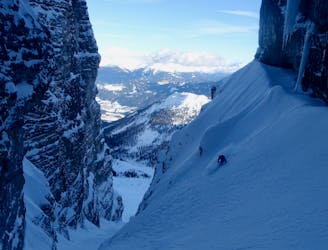
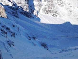
Serles North Couloir
An aesthetic, atmospheric and exciting line off Innsbruck's most famous peak.
Severe Ski Touring
- Distance
- 6.9 km
- Ascent
- 1 km
- Descent
- 1 km
www.runskitirol.com/skimo/lampermahdspitze
Ski Touring Difficult

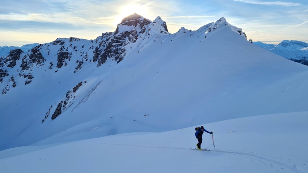
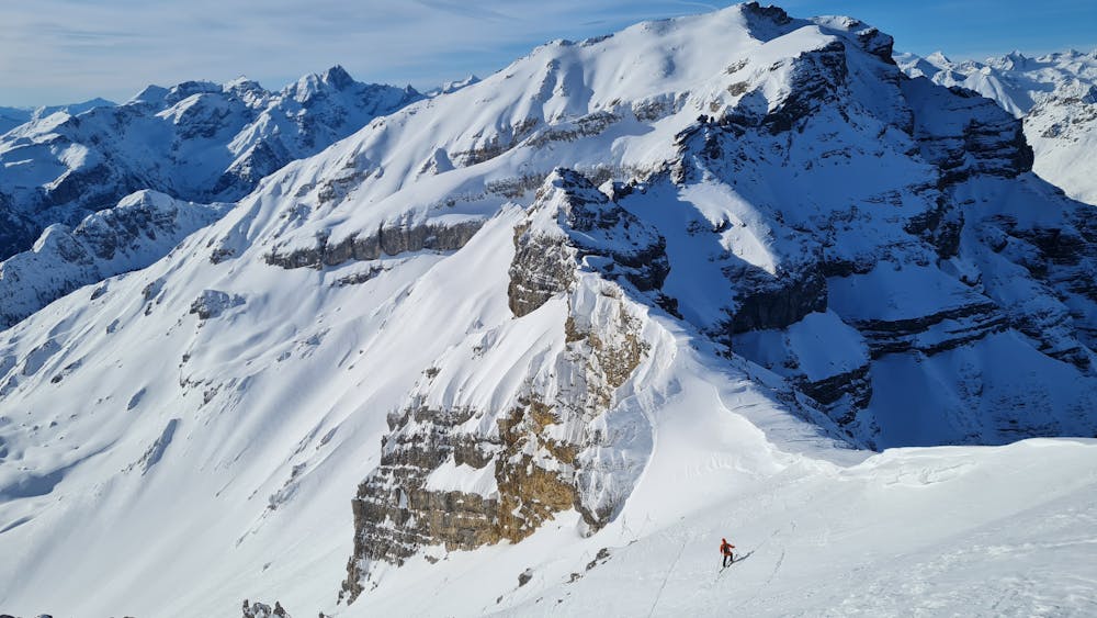
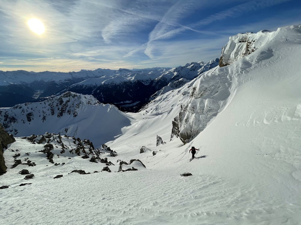
This is a popular ski touring route which is generally considered to be difficult. It's not remote, it features medium exposure (e2) and is typically done between January and April. From a low point of 1.6 km to the maximum altitude of 2.6 km, the route covers 5.1 km, 1025 vertical metres of ascent and 3 vertical metres of descent. You'll need skins to complete it safely.
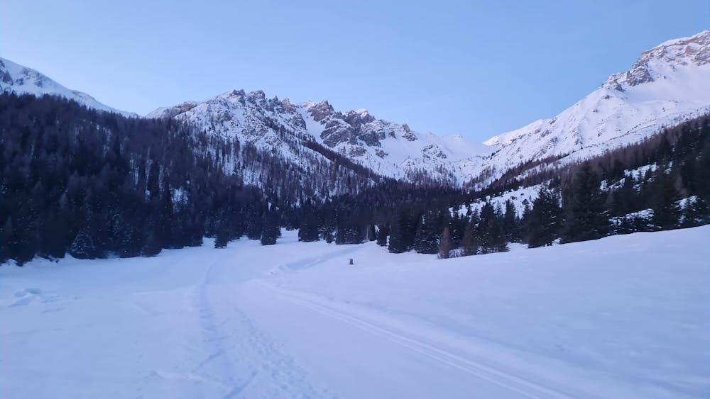
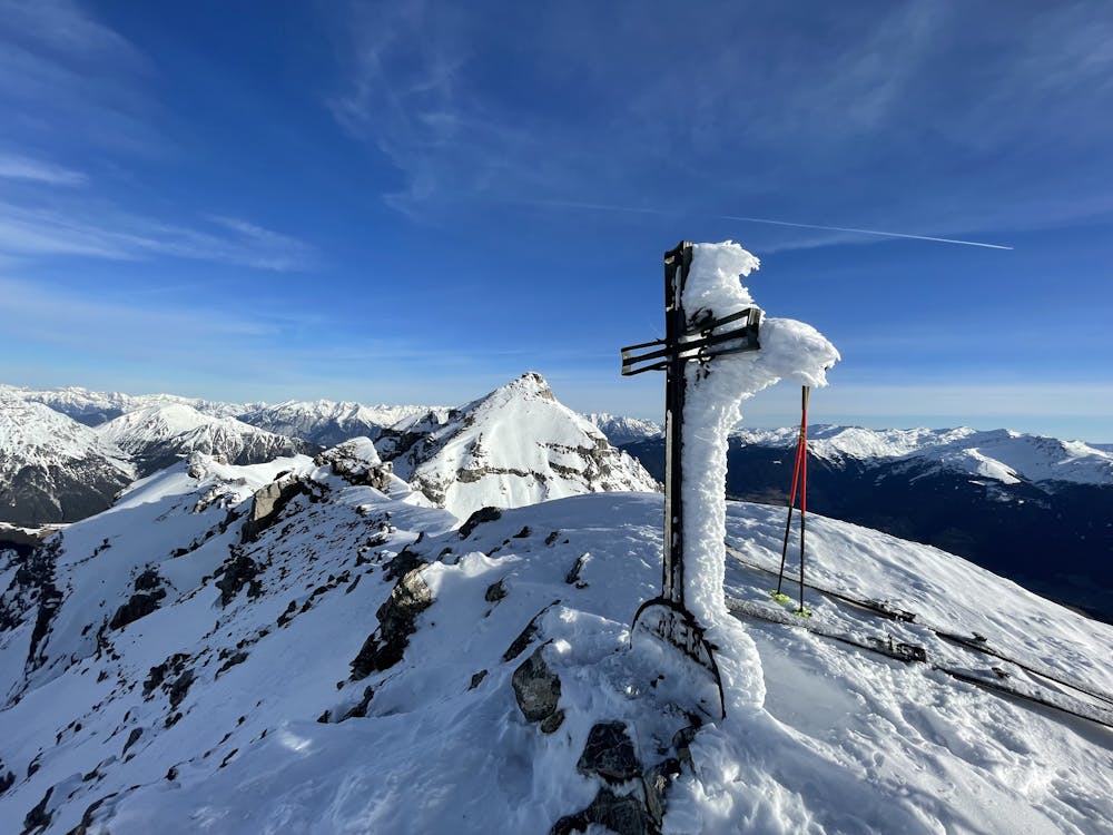
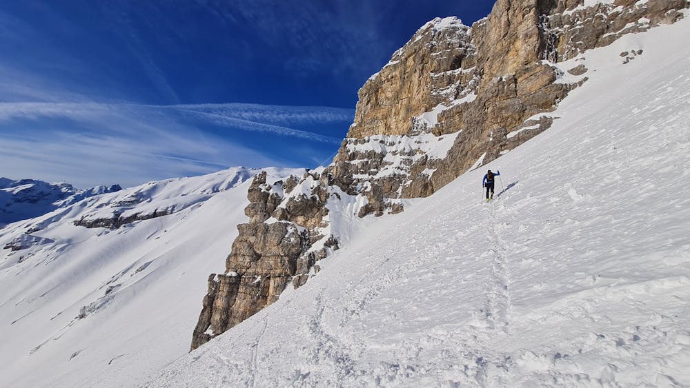
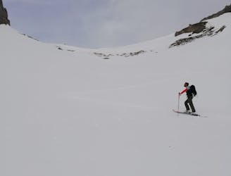
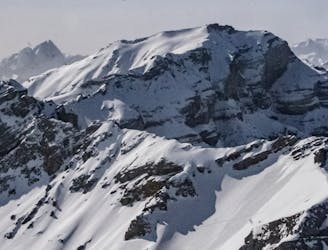
A mostly easy ski tour through the valley from Maria Waldrast until Kalbenjoch with a bit involved final coloir up to the summit of Lämpermahdspitze.
Difficult
Serious gradient of 30-38 degrees where a real risk of slipping exists.

As well as the slope itself, there are some obstacles (such as rock outcrops) which could aggravate injury.

Close to help in case of emergency.
38 m away
An aesthetic, atmospheric and exciting line off Innsbruck's most famous peak.
Severe Ski Touring
39 m away
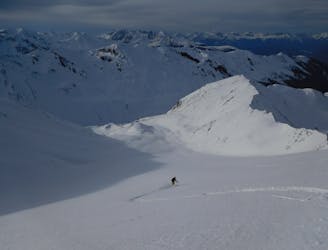
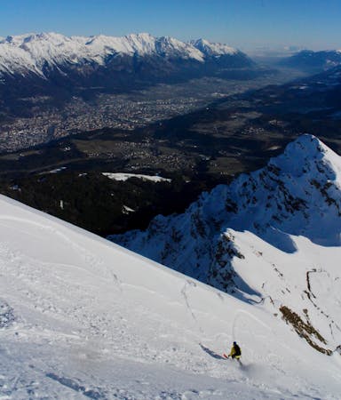
An exciting and varied route up the peak which dominates the Innsbruck skyline.
Severe Ski Touring
2.3 km away
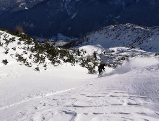
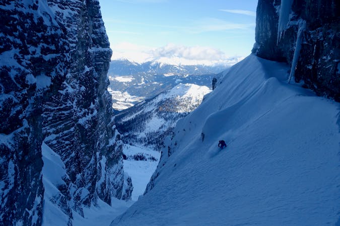
A playful and enjoyable classic North facing couloir in Serles!
Severe Ski Touring
8.7 km away
A lovely ski tour which takes in some fine scenery.
Moderate Ski Touring
8.7 km away
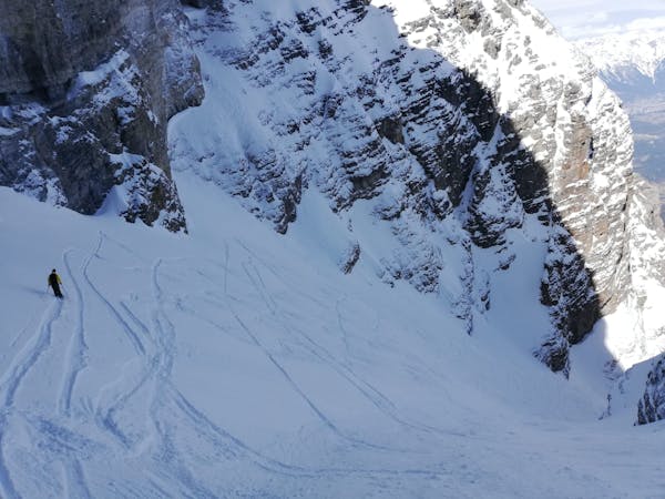
A steep, narrow and other-worldly line in amongst the towering walls of the Kalkogel peaks.
Difficult Ski Touring
8.7 km away
A brilliant journey that begins in a lift system and ends in a wild and peaceful valley.
Difficult Ski Touring
9.3 km away
A beautiful freeride couloir.
Moderate Ski Touring
9.7 km away

A great little lift assisted ski tour which begins at the top of the Olympiabahn lift and finishes at the bottom of it.
Moderate Ski Touring

5 routes · Freeride Skiing · Ski Touring
5 routes · Ski Touring

50 routes · Freeride Skiing · Ski Touring
6 routes · Ski Touring

25 routes · Ski Touring
6 routes · Ski Touring