2.2 km away
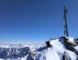
From Praxmar to Zischgeles (3003m)
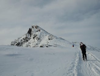
A very popular ski tour to the summit of a relatively easy 3000er.
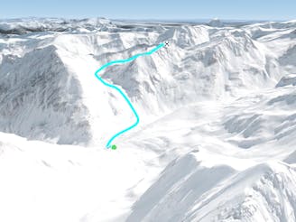
Moderate Ski Touring
- Distance
- 9.6 km
- Ascent
- 1.3 km
- Descent
- 1.3 km
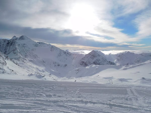
A big adventure but with no real technical difficulties in the heart of some amazing mountains.
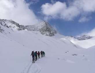
Ski Touring Moderate

This is a popular ski touring route which is generally considered to be moderate. It's extremely remote, it features medium exposure (e2) and is typically done between January and April. From a low point of 1.6 km to the maximum altitude of 3.2 km, the route covers 18 km, 1624 vertical metres of ascent and 1624 vertical metres of descent. It's graded 2.2 and Labande grade 2. You'll need skins to complete it safely.
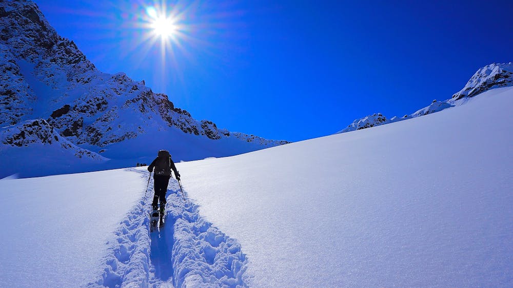
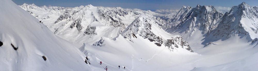
A long, wild but technically straightforward tour.
Moderate
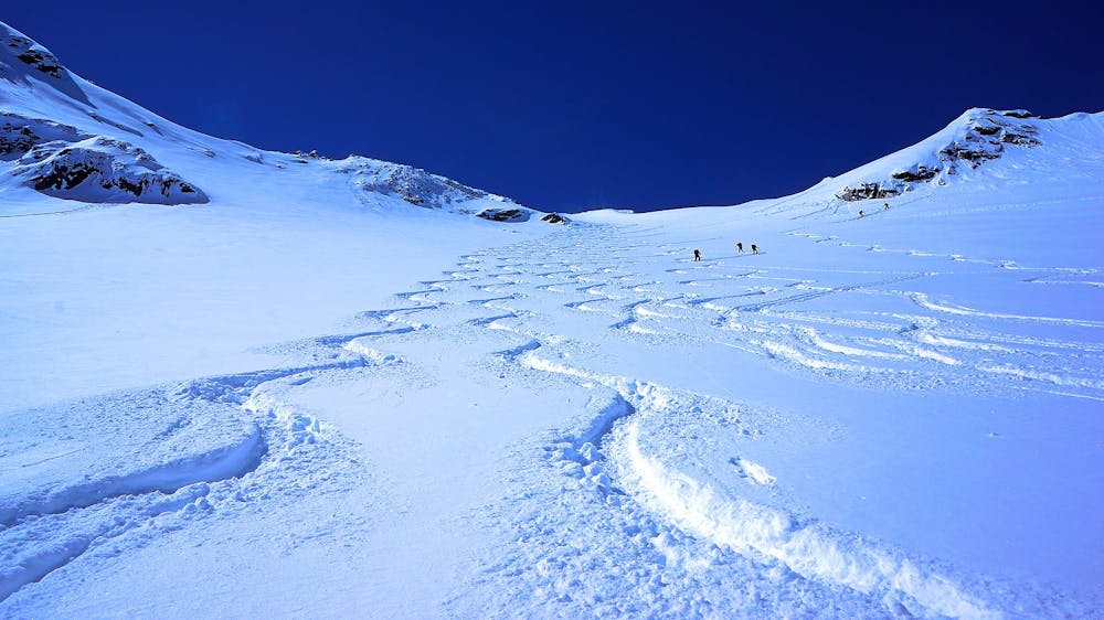
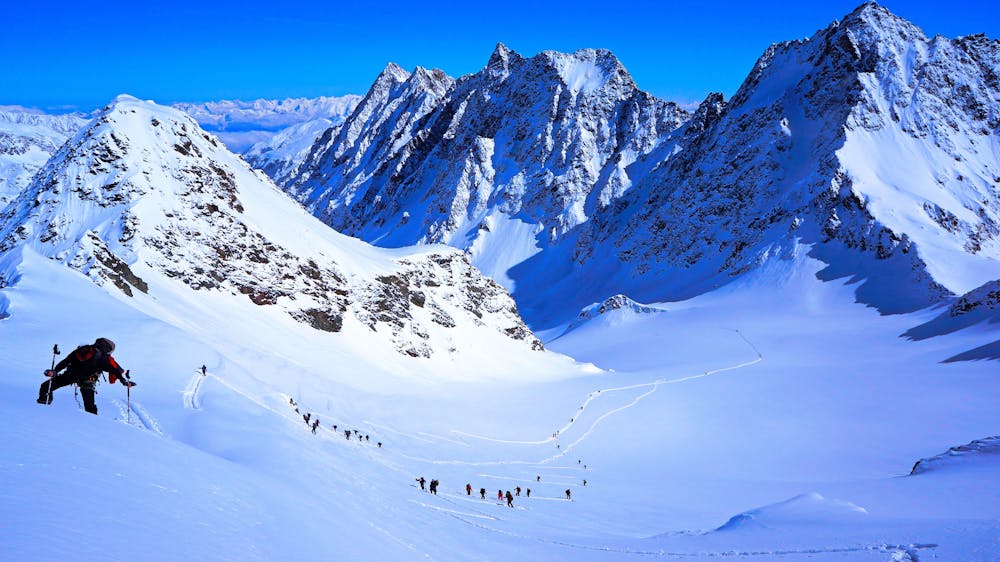
Slopes become slightly steeper at around 25-30 degrees.

As well as the slope itself, there are some obstacles (such as rock outcrops) which could aggravate injury.

In the high mountains or remote conditions, all individuals must be completely autonomous in every situation.
2.2 km away
A very popular ski tour to the summit of a relatively easy 3000er.
Moderate Ski Touring
5.5 km away

Beeindruckende Skihochtour auf den vierthöchsten Gipfel der Stubaier Alpen.
Difficult Ski Touring
5.5 km away
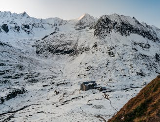
A highpoint before descent from the Franz Senn Hut to the valley
Difficult Ski Touring
5.5 km away
An out and back trip to the summit of the Wildes Hinterbergel, 3288m.
Difficult Ski Touring
5.5 km away

Eine zu Recht bekannte und oft begangene Gletschertour.
Moderate Ski Touring
5.5 km away
Steiles Skitourenhighlight über der Franz-Senn-Hütte.
Severe Ski Touring
5.5 km away

Eine einfache unvergletschere Skitour im Tourengebiet der Franz-Senn-Hütte.
Easy Ski Touring
5.7 km away
Einer der schönsten Anstiege im Sellrain traumhafter Rundumblick und herrliche Firnhänge belohnen den steilen Anstieg durch das wundervolle Kar.
Moderate Ski Touring
5.7 km away

Lange Skihochtour in das Herz der Stubaier Alpen.
Severe Ski Touring
5.7 km away
Nordseitige Pulverabfahrten mit einem einsamen kreuzlosen Gipfel
Easy Ski Touring
5 routes · Ski Touring

17 routes · Ski Touring

25 routes · Ski Touring