2.1 km away
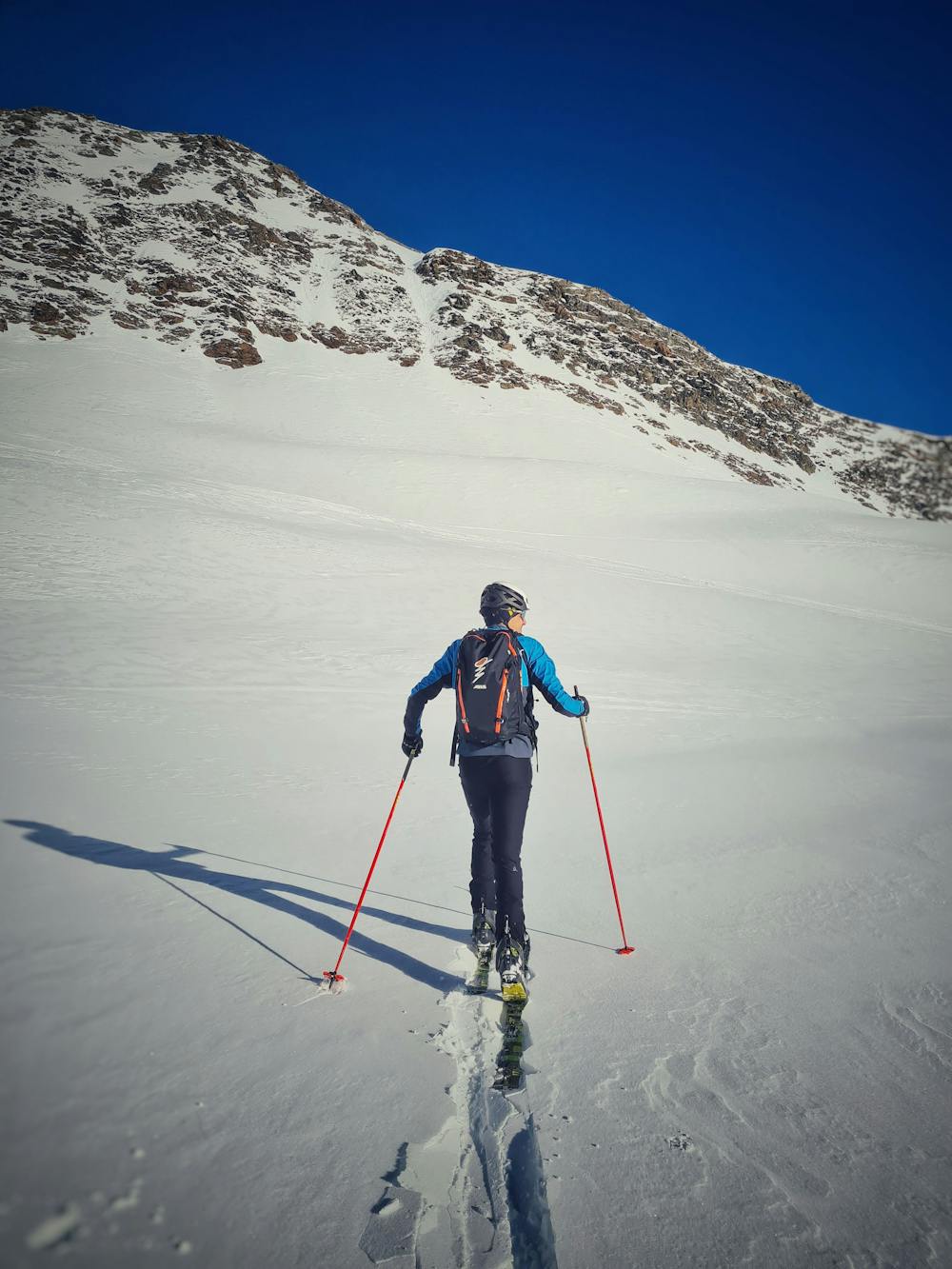
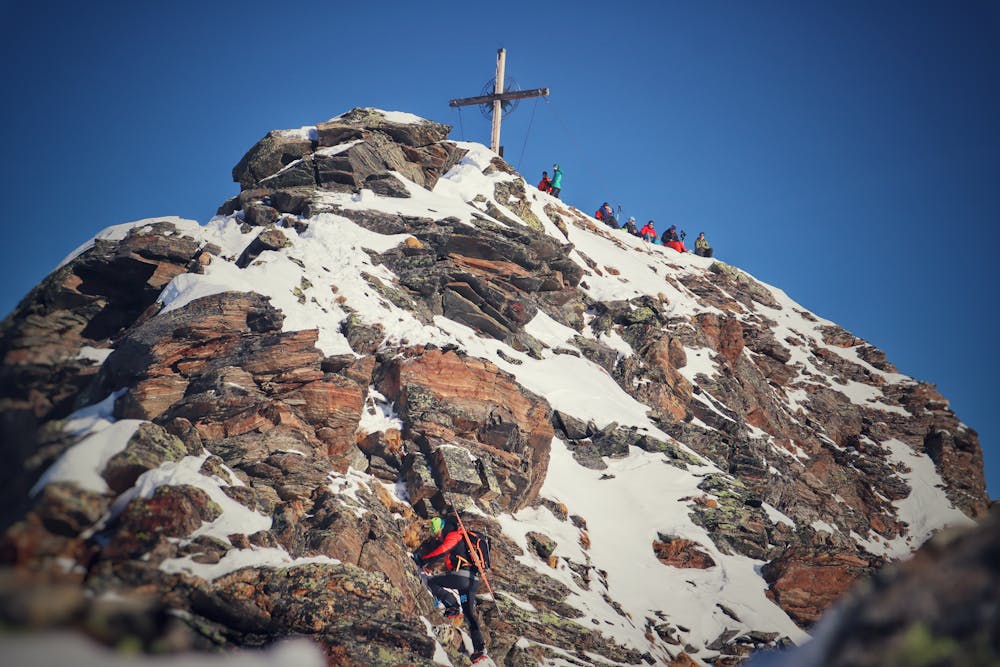
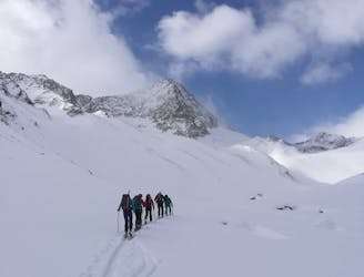
From Praxmar to Zischgeles (3003m)
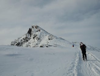
A very popular ski tour to the summit of a relatively easy 3000er.
Moderate Ski Touring
- Distance
- 9.6 km
- Ascent
- 1.3 km
- Descent
- 1.3 km
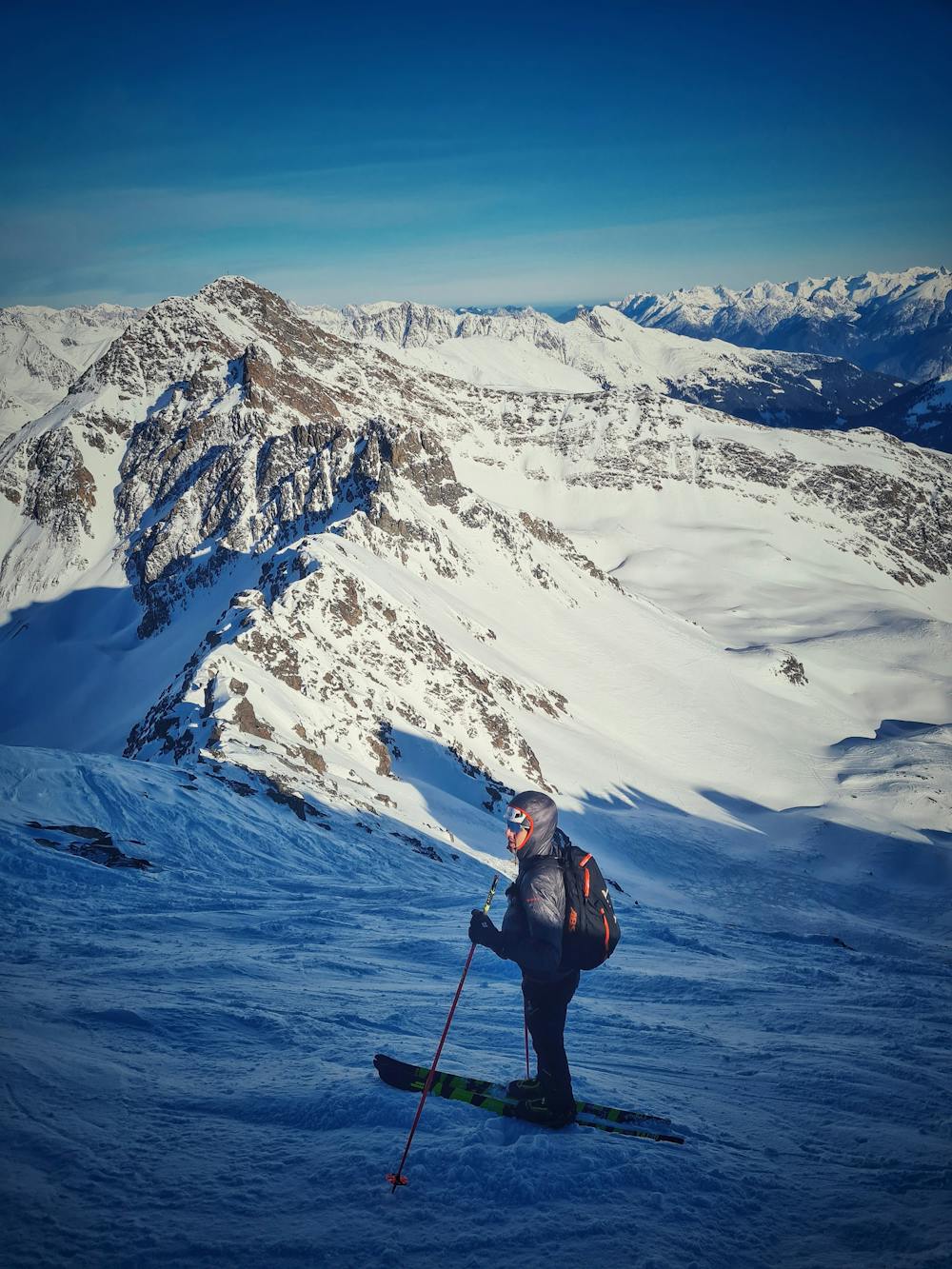
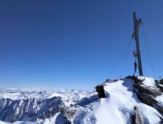
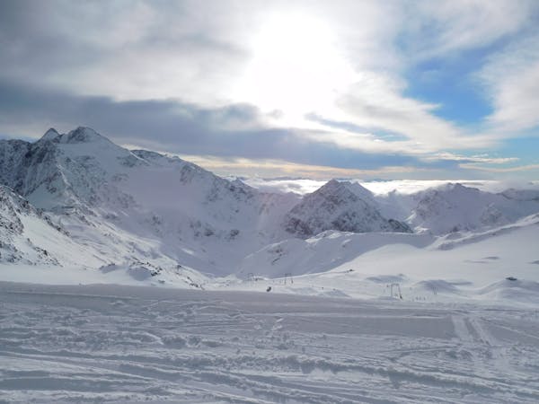
Connecting the two classic above Lüsens.
Ski Touring Difficult

The connections of both summits starts with the classic ski route from Lüsens up to Schöntalspitze. On top of Schöntalspitze you can already notice a small couloir in the north of the Schöntal located between Zischgeles and Oberstkogel which is connecting the two summits with an extra climb of about 300 vertical meters. Climb the the couloir with ski on backpack and follow the "normal route" up to Zischgeles summit. The descent from Zischgeles back to Schöntal is heating south west allong the ridge with easy climb up to grade 2.
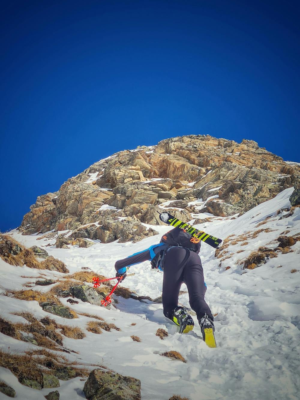
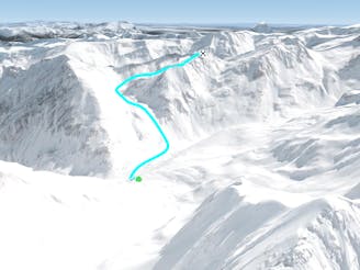
Difficult
Serious gradient of 30-38 degrees where a real risk of slipping exists.

Exposure is limited to that of the slope itself. Getting hurt is still likely if the slope is steep and/or the snow is hard.

Away from help but easily accessed.
2.1 km away
A very popular ski tour to the summit of a relatively easy 3000er.
Moderate Ski Touring
5.5 km away

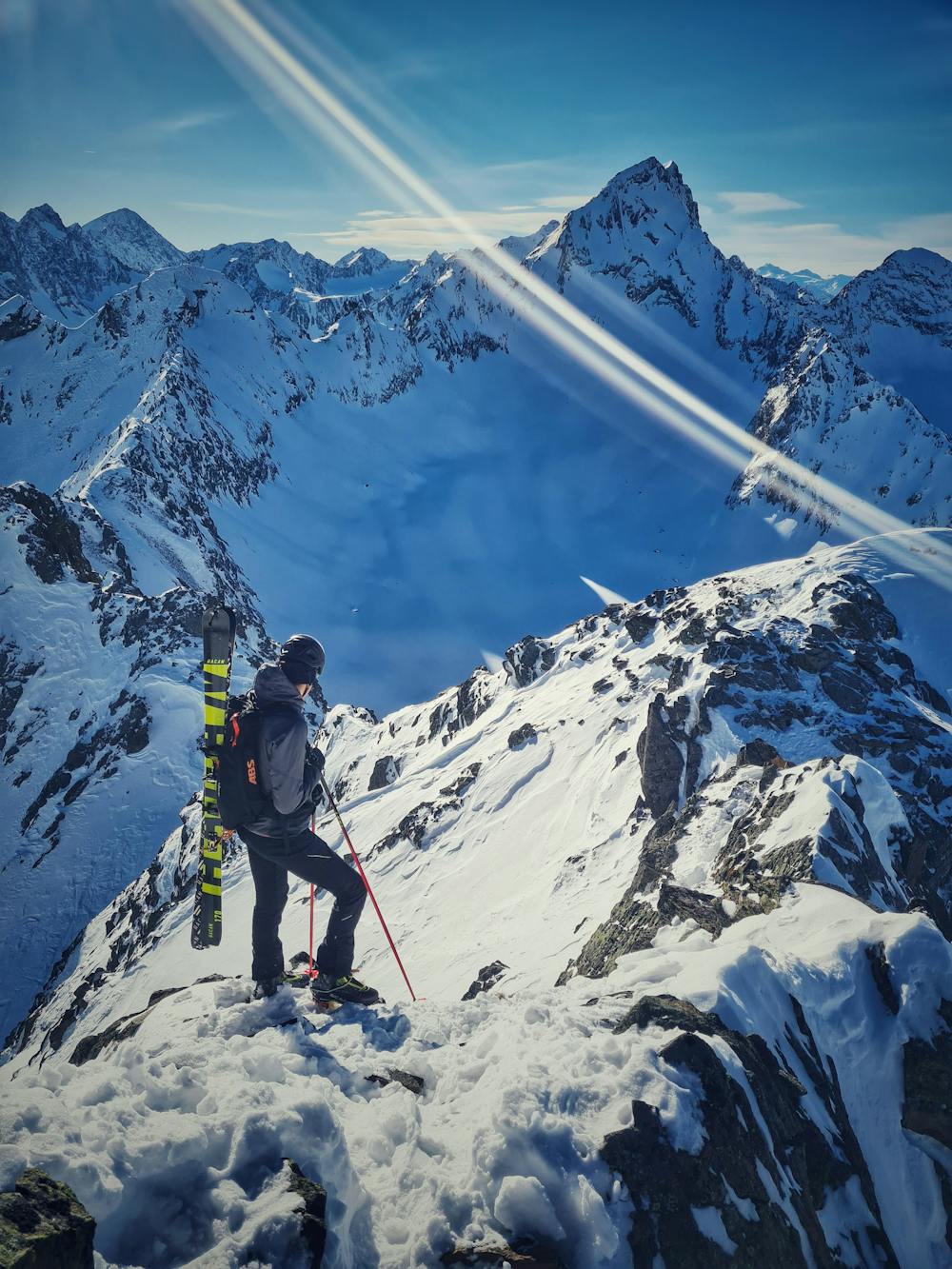
Beeindruckende Skihochtour auf den vierthöchsten Gipfel der Stubaier Alpen.
Difficult Ski Touring
5.5 km away
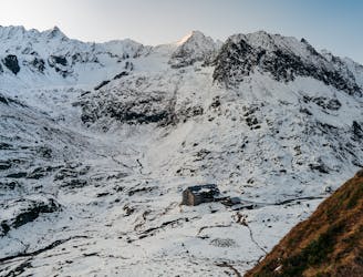
A highpoint before descent from the Franz Senn Hut to the valley
Difficult Ski Touring
5.5 km away
An out and back trip to the summit of the Wildes Hinterbergel, 3288m.
Difficult Ski Touring
5.5 km away

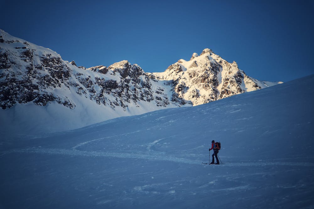
Eine zu Recht bekannte und oft begangene Gletschertour.
Moderate Ski Touring
5.5 km away
Steiles Skitourenhighlight über der Franz-Senn-Hütte.
Severe Ski Touring
5.5 km away

Eine einfache unvergletschere Skitour im Tourengebiet der Franz-Senn-Hütte.
Easy Ski Touring
5.7 km away
Einer der schönsten Anstiege im Sellrain traumhafter Rundumblick und herrliche Firnhänge belohnen den steilen Anstieg durch das wundervolle Kar.
Moderate Ski Touring
5.7 km away

Lange Skihochtour in das Herz der Stubaier Alpen.
Severe Ski Touring
5.7 km away
Nordseitige Pulverabfahrten mit einem einsamen kreuzlosen Gipfel
Easy Ski Touring
5 routes · Ski Touring

17 routes · Ski Touring

25 routes · Ski Touring