5.8 km away
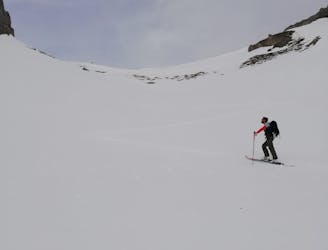
Sattelberg
A classic ski tour new the Italian border following an old ski slope.
Easy Ski Touring
- Distance
- 7.2 km
- Ascent
- 873 m
- Descent
- 873 m
One long long climb then a short descent to a bivi hut
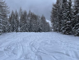
Ski Touring Moderate

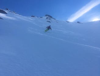
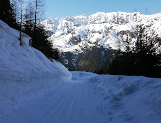
The unavoidable long road walk to access the snow took quite some time up another South Tyrolean valley, the Valser Tal. This allowed us to soak up the peace of this agricultural area, the top end of which had some enormous quantities of avalanche debris, long before we got to the snow itself. By now it was hot and we had some debate about the exact line to take up the SW facing ground, but in the end we decided the terrain was largely stripped of snow on this side, but luckily on the summer footpath there had just enough snow to skin up.
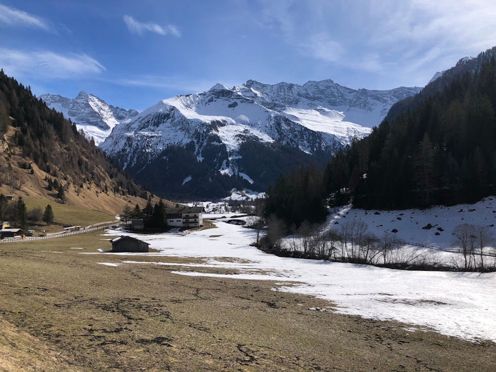
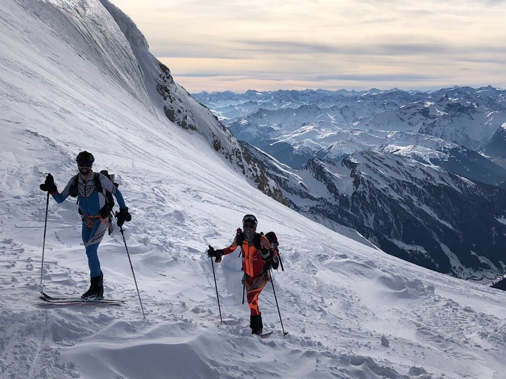
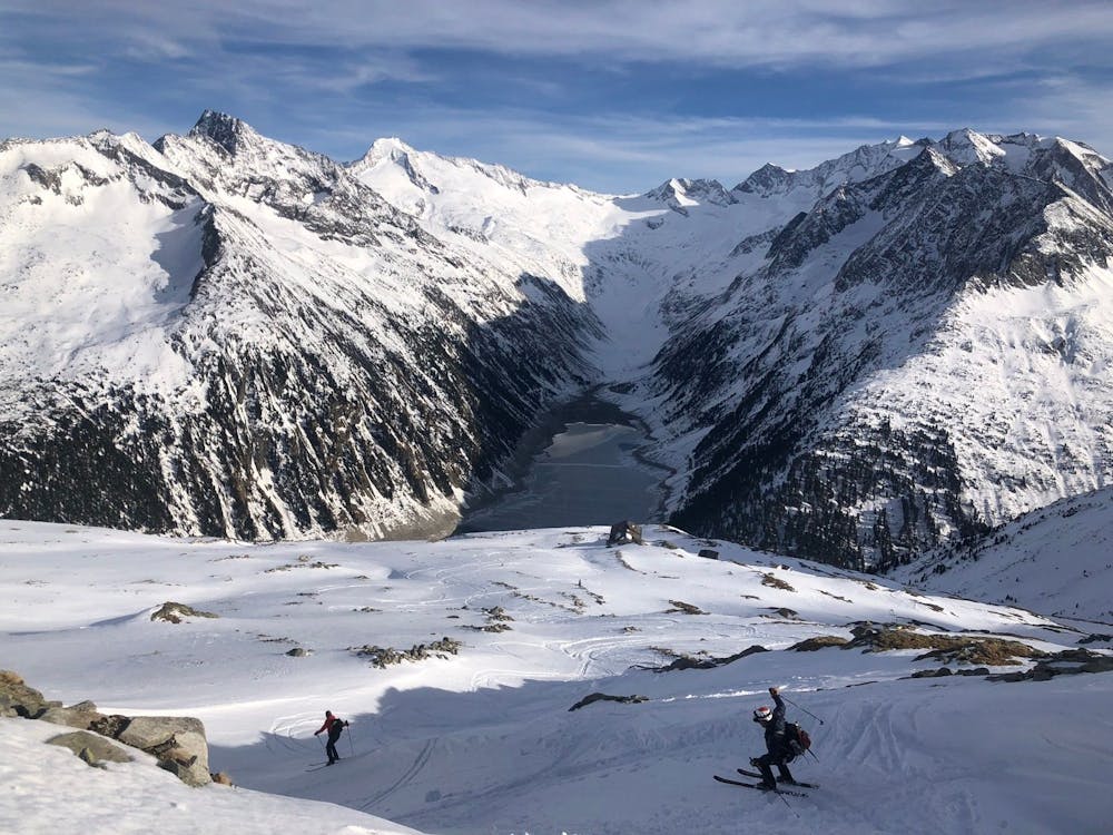
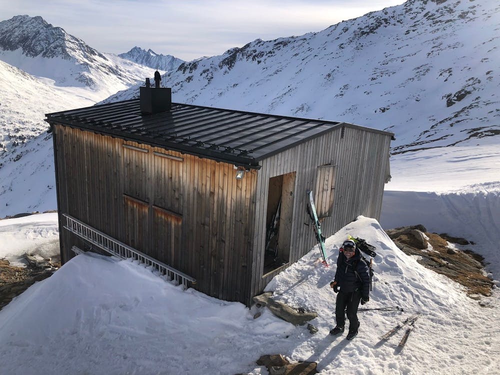
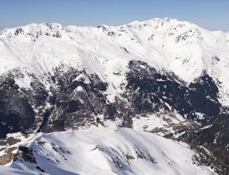
Above here we all felt pretty tired in the beating sun, in the knowledge we had another 1000m of height gain above us. Watching the odd skier from the Hintertux ski area casually skiing down didn't make it feel any easier. Eventually we arrived at the pistes at a high col of about 3200m, before easily dropping down to the lovely, modern Olperer bivi hut, very well located with amazing views to the S. It had a roaring fire which a few others had put on, very comfy bunks and even a proper toilet. Luxury bivi!
Moderate
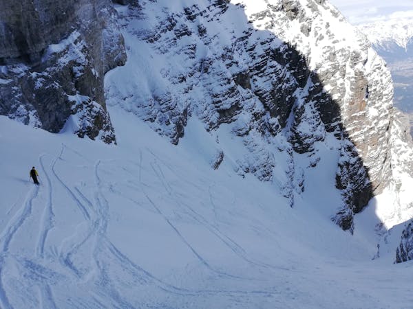
Slopes become slightly steeper at around 25-30 degrees.

Exposure is limited to that of the slope itself. Getting hurt is still likely if the slope is steep and/or the snow is hard.

Little chance of being seen or helped in case of an accident.
5.8 km away
A classic ski tour new the Italian border following an old ski slope.
Easy Ski Touring
6.2 km away
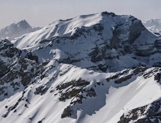
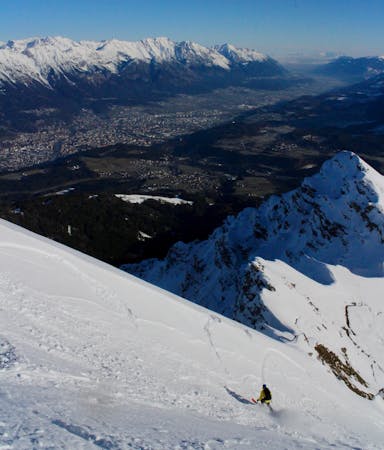
An exciting and varied route up the peak which dominates the Innsbruck skyline.
Severe Ski Touring
6.2 km away
An aesthetic, atmospheric and exciting line off Innsbruck's most famous peak.
Severe Ski Touring
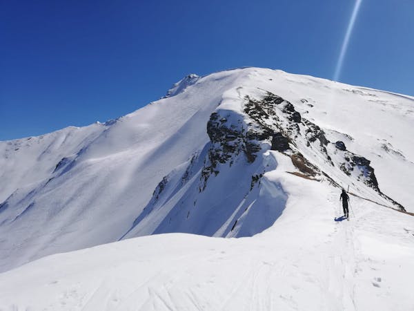
6.7 km away
A mellow peak with great views across the landscape of the Wipptal.
Moderate Ski Touring
7.8 km away
A stunning tour and a fabulous ski descent through some of the finest terrain in Tirol.
Severe Ski Touring
8.3 km away
A playful and enjoyable classic North facing couloir in Serles!
Severe Ski Touring
8.7 km away
The classic of classics in the Navis valley!
Difficult Ski Touring
9.1 km away
A mellow, sunny ski tour in wild surroundings.
Moderate Ski Touring

5 routes · Freeride Skiing · Ski Touring
5 routes · Ski Touring

50 routes · Freeride Skiing · Ski Touring
3 routes · Ski Touring

25 routes · Ski Touring
6 routes · Ski Touring