1.2 km away
Echmishte (the bowl)
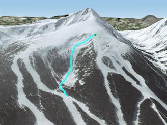
A demanding but short and easy-access run.
Difficult Freeride Skiing
- Distance
- 1.3 km
- Ascent
- 0 m
- Descent
- 409 m
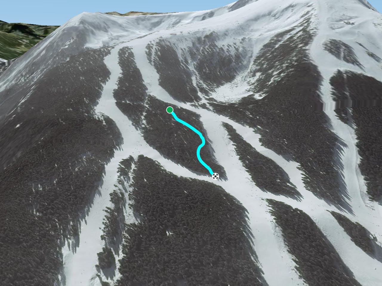
Fun and easy tree ski route
Freeride Skiing Easy
This is a popular freeride skiing route which is generally considered to be easy. It's not remote, it features medium exposure (e2) and is typically done between December and March. From a low point of 1.8 km to the maximum altitude of 1.9 km, the route covers 473 m, 0 vertical metres of ascent and 86 vertical metres of descent. It's graded 1.3 and Labande grade 1.
A very fun and easy tree ski route between Shiligarnik1 and Shiligarnik2 pistes
Easy
Wide gentle slopes at around 20 degrees or less.

As well as the slope itself, there are some obstacles (such as rock outcrops) which could aggravate injury.

Close to help in case of emergency.
1.2 km away
A demanding but short and easy-access run.
Difficult Freeride Skiing
1.7 km away

Easy access from the resort and an easy wide open descent.
Easy Freeride Skiing
1.8 km away

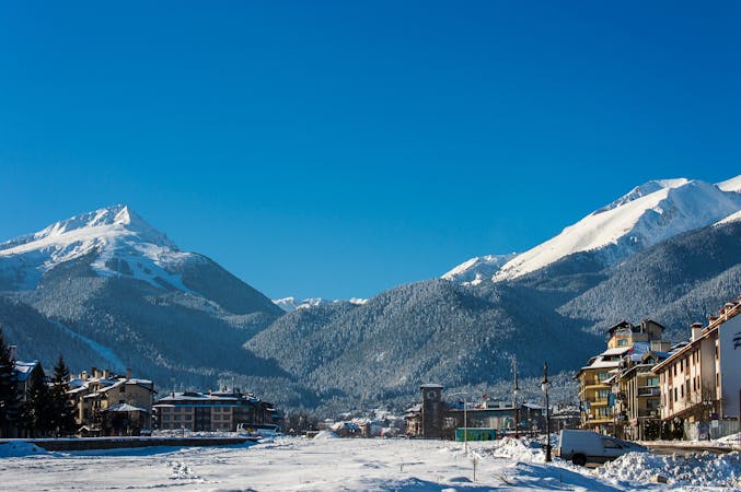
Todorka peak iis the closest peak to the resort of Bansko and one of the most picturesque summit in Pirin mountains
Severe Freeride Skiing
2.4 km away

A long and steep descent from top to bottom, an epic ski line.
Difficult Freeride Skiing
4 routes · Freeride Skiing