5.1 km away
Cascade Mountain Normal Route
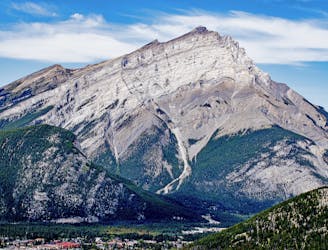
Hike and scramble to the top of an impressive peak just outside the town of Banff.
Easy Alpine Climbing
- Distance
- 19 km
- Ascent
- 1.6 km
- Descent
- 1.6 km
Hike and scramble to the first of Mount Edith's three peaks.
Alpine Climbing Easy

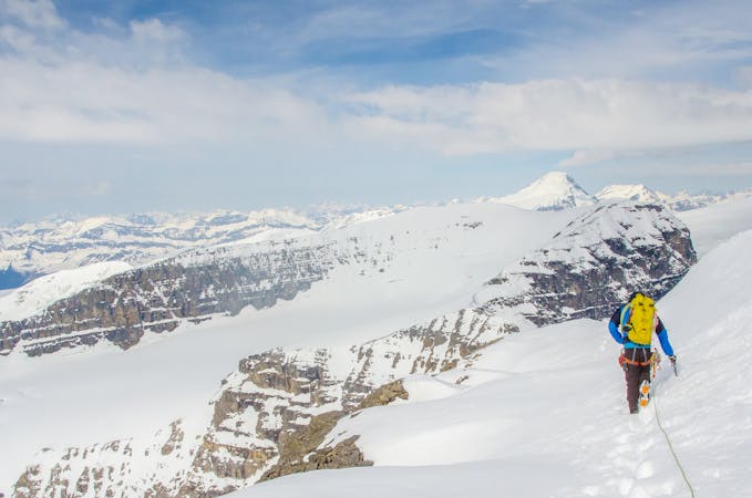
Mount Edith in Banff National Park (different from Mount Edith Cavell in Jasper National Park) is a craggy mountain with three distinct peaks. The route described here is to North Peak, which is the true summit. It is also the first portion of the longer and more difficult Three Peaks scramble.
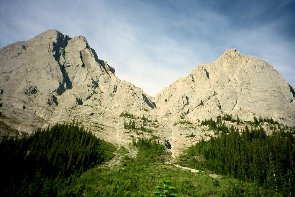
The hike to Mount Edith begins on Cory Pass Trail through a spacious and vibrant forest. Soon you’ll come to a fork and go left, where steep switchbacks will get your legs warm right away. After this initial climb, it’s an easy but long walk on a good trail along the forested ridgeline.
Eventually, you’ll leave the trees behind, and the views will improve dramatically as the trail traverses the slopes just above timberline. It crosses many avalanche gullies, where the trail is usually good, but you may encounter some debris and snow.
The scrambling begins at Cory Pass. North Peak looks imposing, but closer inspection reveals a few chimneys leading to the top. Careful route finding will reveal the path of least resistance, and the scrambling should be easy, albeit mildly exposed, if you remain on-route. The summit is delightfully narrow with some serious exposure on some sides, but the footing is solid, and there are flat spots on which to relax. You should be able to descend the same chimney you came up.
The route is mapped here as an out-and-back that returns the same way, but you could alternatively descend the other side of Cory Pass and complete the loop trail, making a slightly longer day.
Sources: https://www.summitpost.org/mount-edith/154164 http://people.ucalgary.ca/~tsai/Scrambles/Edith/Edith.htm https://stevensong.com/canadian-rockies/banff/mount-edith/
Easy
The ascent involves simple glacier hiking and/or short, straightforward rock scrambles. Equivalent to Alpine F, F+

The route features some exposed and/or difficult to protect sections.
Away from help but easily accessed.
5.1 km away
Hike and scramble to the top of an impressive peak just outside the town of Banff.
Easy Alpine Climbing
6.8 km away
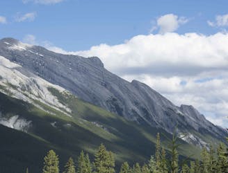
Beginner-friendly scramble to a summit just outside the town of Banff.
Easy Alpine Climbing
6 routes · Alpine Climbing · Hiking
10 routes · Alpine Climbing · Hiking · Trail Running