3.2 km away
Parker Ridge | C'est Notre Monde
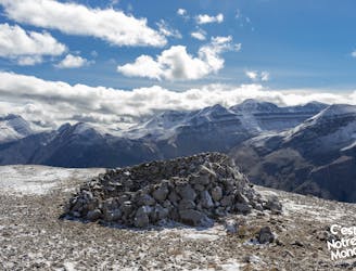
Parker Ridge, a walk between ice and mountains
Moderate Hiking
- Distance
- 6.6 km
- Ascent
- 350 m
- Descent
- 350 m

The first (and also the final) leg of the Brazeau Loop trek, climbing over a high pass and tracing a river from its headwaters.
Hiking Difficult

This is the first leg of the Brazeau Loop, a 4-5 day circuit called, “the ‘grand tour’ of the southern ranges” by Jasper National Park. The route makes more of a lollipop or lasso shape instead of a circle, and this portion makes the stem. Meaning: to complete the full circuit you’ll hike this section twice, once northbound to begin the trek and again southbound to finish it. The out-and-back to Nigel Pass also makes a good day hike, however, and doesn’t require any permit if you don’t camp.
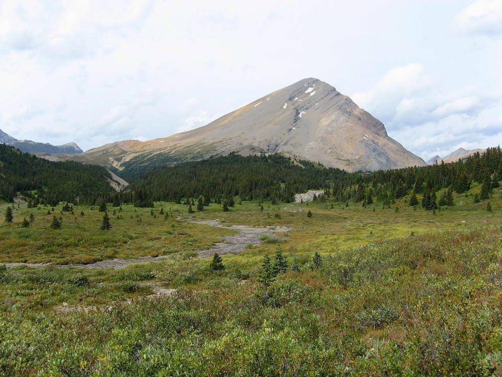
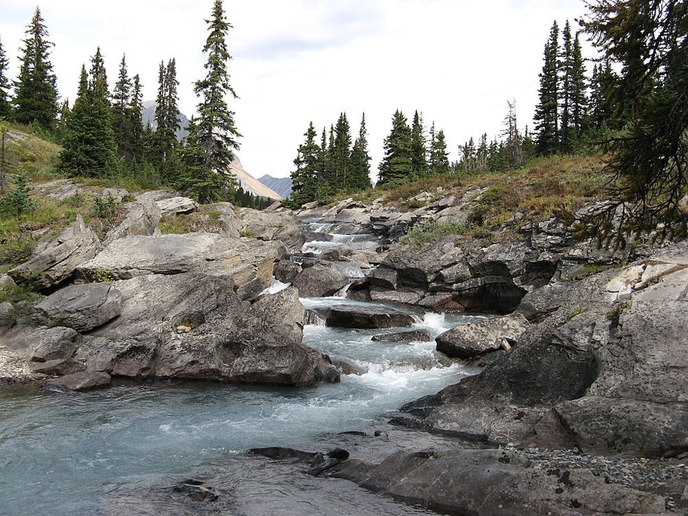
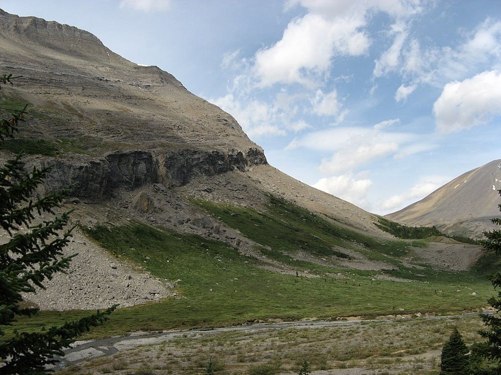
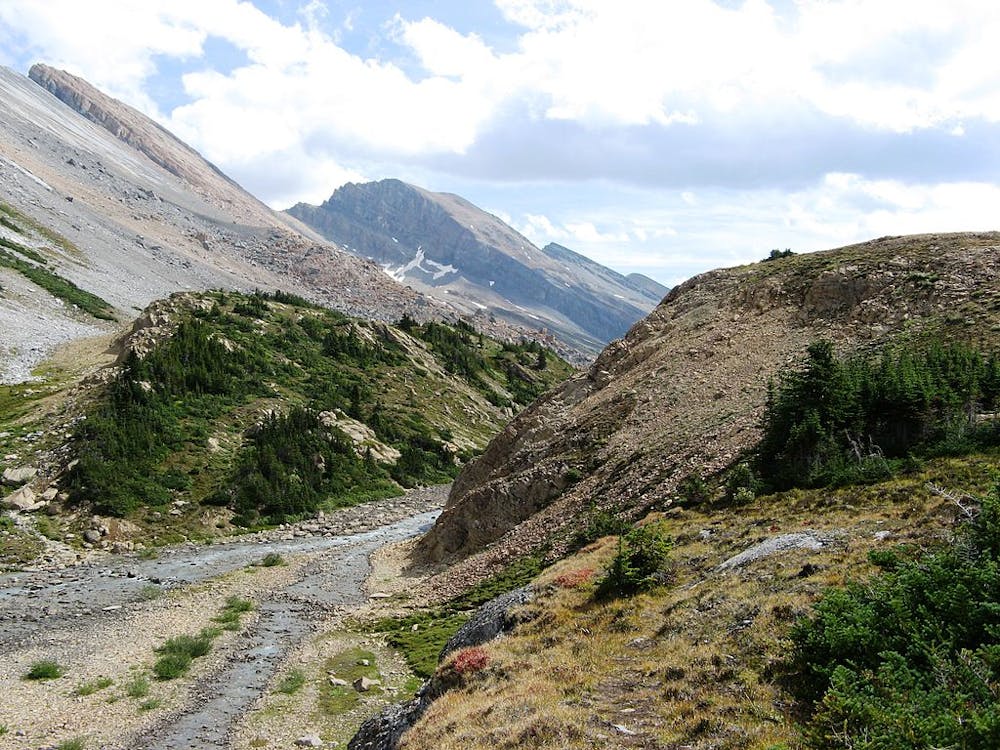
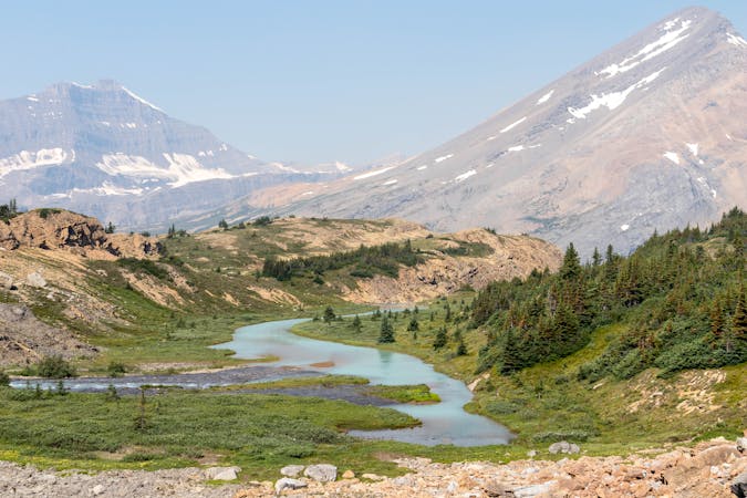
Beginning from Nigel Creek trailhead on the Icefields Parkway, the trail climbs steadily along a milky creek among spruce forest. Look for historic carvings in trees along the way. As you get higher, the forest gives way to interspersed meadows, affording better views, and the creek falls more steeply in many small cascades.
The final kilometer to the pass is a bit strenuous as it climbs above timberline. Nigel Pass is a dramatic spot, windswept with almost no vegetation, with giant rock slabs stretching away on either side, flanking the peaks. You can peer into the valleys ahead and behind, both seeming very far below.
Most day hikers turn around at the pass, but campers must continue to a backcountry campground down the other side. Just below the top of the pass you’ll have to ford a shallow creek, which is the headwaters of the Brazeau River. The trail then continues across a rock-strewn slope, down to the larger river, and traces its bank. The next crossing is on a bridge, after which you’ll re-enter the forest and proceed steadily downhill. Boulder Creek is the first option for camping, at 10.7 kilometers from the trailhead. The track mapped here finishes at Four Point campground, 13.8 kilometers from the trailhead and near the junction where the actual “loop” of this circuit begins.
Note: As with all backcountry camping in Banff and Jasper national parks, a permit is required and must be reserved in advance. Also note that dogs (on a leash) are allowed on this stage of the Brazeau Loop, but are not allowed on every stage.
Sources: https://www.pc.gc.ca/en/pn-np/ab/jasper/activ/passez-stay/arrierepays-backcountry/sugg-sentierstrip-ideas/Brazeau http://www.albertawow.com/hikes/NigelPass/NigelPass.htm
Difficult
Hiking trails where obstacles such as rocks or roots are prevalent. Some obstacles can require care to step over or around. At times, the trail can be worn and eroded. The grade of the trail is generally quite steep, and can often lead to strenuous hiking.
3.2 km away

Parker Ridge, a walk between ice and mountains
Moderate Hiking
6 km away
A fantastic day hiking - mainly above the treeline - which offers stunning views for most of the day.
Difficult Hiking
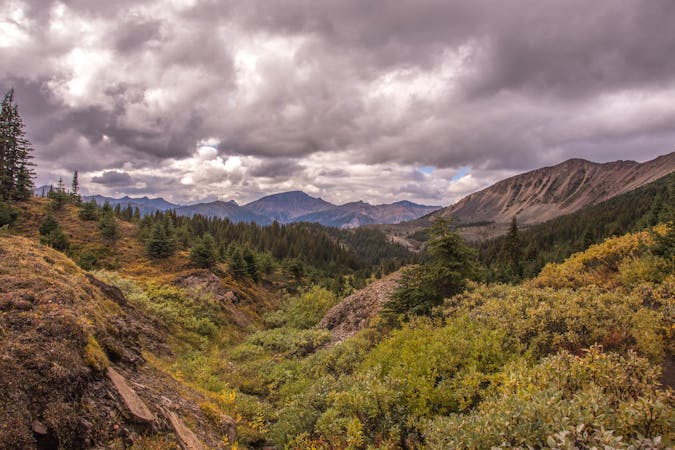
5 routes · Hiking
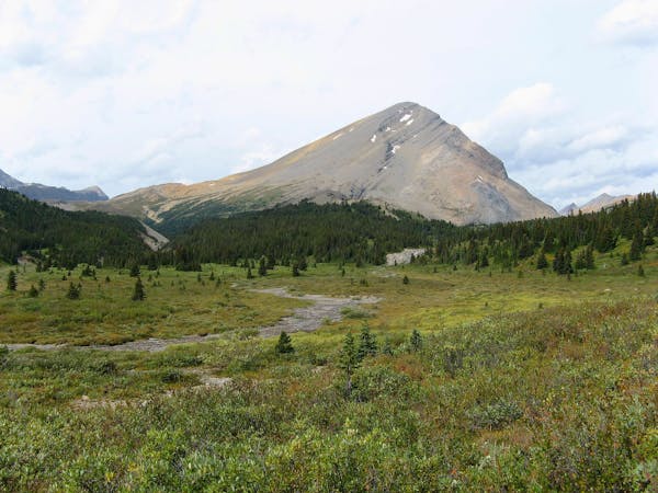
4 routes · Hiking
8 routes · Hiking