53 m away
Opal Ridge (Loop) | C'est Notre Monde
A panoramic hike in Kananaskis Country
Severe Hiking
- Distance
- 12 km
- Ascent
- 1 km
- Descent
- 1 km
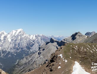
A fun hike up to Opal ridge, with views of the jagged rocky mountains on all sides & Kananaskis Lakes off in the distance, this hike offers some of the best views in Kananaskis.
Hiking Severe

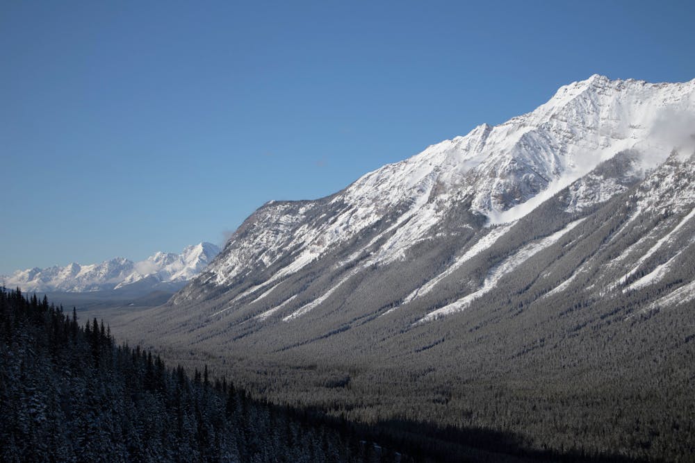
Opal Ridge is a less travelled route than some of the other ridge hikes in Kananaskis, but offers outstanding views of the surrounding mountains and is well worth the effort to get to the top.
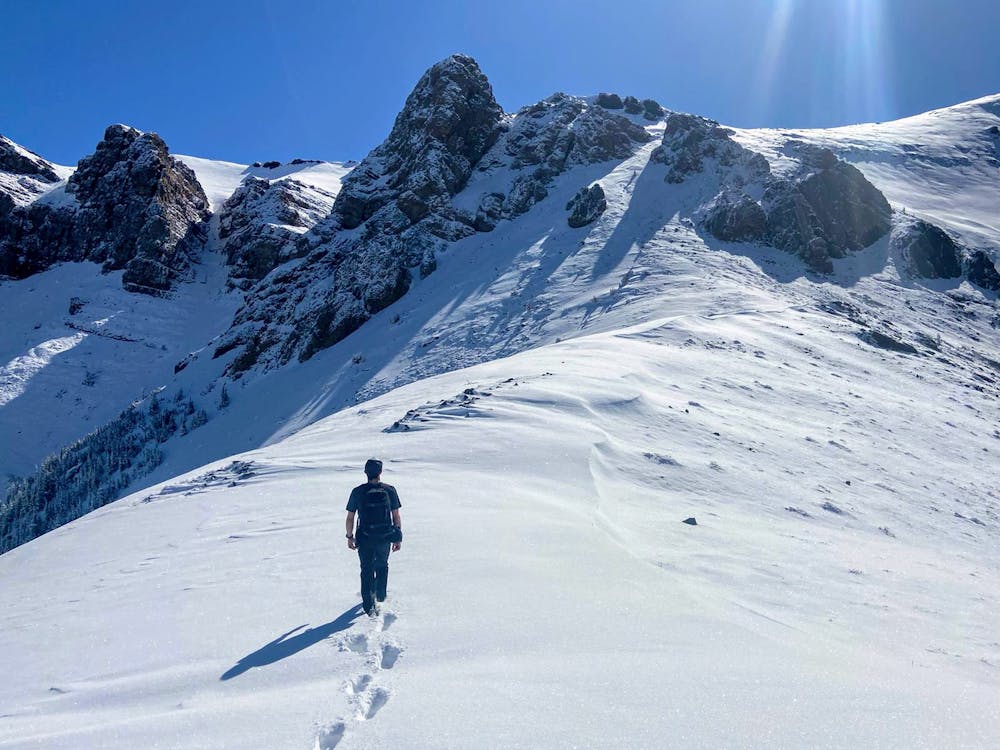
This route does require some simple scrambling, depending on how well you navigate, dictates how much scrambling is required. Once you're above the treeline you will start to see small rock ledges, try to keep to your left when ascending and closely follow the trail to minimise the amount of scrambling you have to do. The trail does have markers, but they can be hard to follow and inconsistent in their placement.
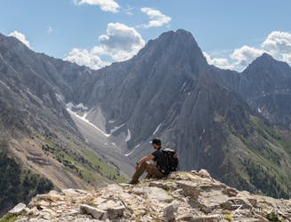
As most of this trail is above the treeline, if you like to get quick rewards for your effort, then this is a great trail for you. There are fantastic views of the mountains as you hike up to the top of the ridge, with the best views coming as you finally get onto Opal Ridge and look at the mountains behind.
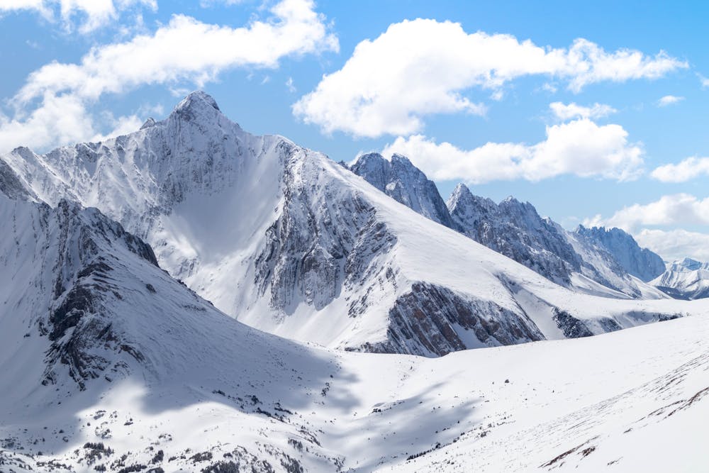
The tall jagged mountains behind Opal Ridge offer a great sense of scale, that will make you feel like you just hiked a small hill as opposed to 1000m up a mountain. My first impression when I saw these mountains was that I had been transported to Alaska as opposed to been in Alberta, it's a very different view to what you normally see in this part of the Canadian Rockies.
For me this was the highlight of this trail, while you can see these mountains from other viewpoints such as Sarrail Ridge, it's just a totally different experience seeing them so close up from Opal Ridge and makes the hike up well worth it.
There are many viewpoints and peaks along Opal Ridge, this trail ends at the most common viewpoint, but the views are similar all along the ridge. The bonus of going to the viewpoint shown here, is the view of Kananaskis Lakes off in the distance, and the extra bit of elevation you gain to get a more unobstructed 360 view of the surrounding mountains.
Kananaskis is a popular bear habitat, there is a reasonable chance you could encounter a grizzly bear on this trail, so ensure you make noise and carry bear spray. There are also no facilities anywhere on trail other than at the gas station at the trailhead.
Severe
Hiking challenging trails where simple scrambling, with the occasional use of the hands, is a distinct possibility. The trails are often filled with all manner of obstacles both small and large, and the hills are very steep. Obstacles and challenges are often unexpected and can be unpredictable.

The trail contains some obstacles such as outcroppings and rock which could cause injury.
Away from help but easily accessed.
53 m away
A panoramic hike in Kananaskis Country
Severe Hiking
4.3 km away
A vertiginous hike in Kananaskis Country
Difficult Hiking
6.8 km away

A Vertiginous Ascent in the Heart of Kananaskis
Difficult Hiking
8.4 km away
A winter hike on a panoramic ridge
Difficult Hiking