90 m away
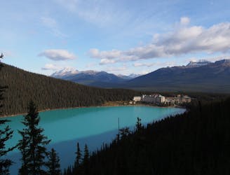
Epic Rockies Hikes: Fairview Summit
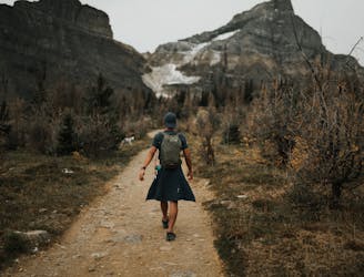
A scenic hike with glacier views along the way and a unique view of Lake Louise at the top.
Moderate Hiking
- Distance
- 9.6 km
- Ascent
- 973 m
- Descent
- 973 m
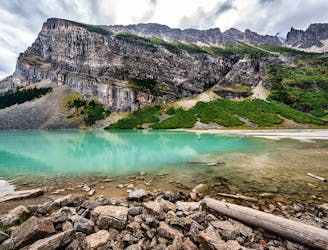
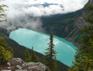
Trailmap for Plain of the Six Glaciers
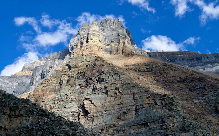
Hiking Difficult

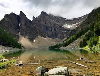
This is a popular hiking route which is generally considered to be difficult. It's not remote, it features high exposure and is typically done between April and October. From a low point of 1.7 km to the maximum altitude of 2.2 km, the route covers 14 km, 612 vertical metres of ascent and 612 vertical metres of descent.
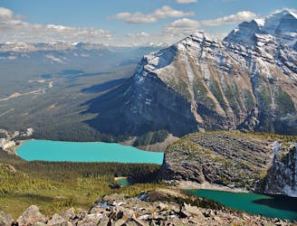
Hiking the Plain of the Six Glaciers trail
Difficult
Hiking trails where obstacles such as rocks or roots are prevalent. Some obstacles can require care to step over or around. At times, the trail can be worn and eroded. The grade of the trail is generally quite steep, and can often lead to strenuous hiking.

Some trail sections have exposed ledges or steep ascents/descents where falling could cause serious injury.

Close to help in case of emergency.
90 m away
A scenic hike with glacier views along the way and a unique view of Lake Louise at the top.
Moderate Hiking
132 m away
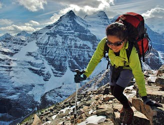
Steep and committing hike to an alpine summit above Lake Louise.
Difficult Hiking
147 m away
One of the best views in Banff National Park, reached by a strenuous hike from the lakeshore.
Difficult Hiking
149 m away
A steep scramble to the top of a rock tower, overlooking Lake Agnes and Lake Louise in a picture-perfect panorama.
Severe Hiking
149 m away
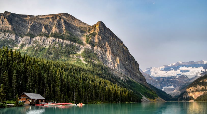
An easy stroll along the shores of Lake Louise
Easy Hiking
150 m away
Casual stroll through dense forest, to an elevated viewpoint of Lake Louise and the chateau.
Easy Hiking
152 m away
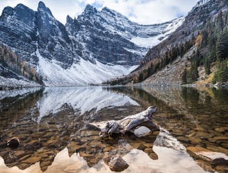
Steep hike past Lake Agnes to a dramatic clifftop viewpoint.
Moderate Hiking
153 m away
Bonus hike past Lake Agnes to an incredible viewpoint above Lake Louise.
Moderate Hiking
153 m away
A full-value loop combining the best of Lake Louise's scenery, and both of its famous teahouses.
Moderate Hiking
2.2 km away
Easy stroll on a nature path that connects campgrounds and restaurants in Lake Louise Village.
Easy Hiking
7 routes · Hiking
6 routes · Hiking
6 routes · Alpine Climbing · Hiking
4 routes · Hiking