6.4 km away
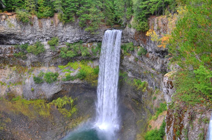
Brandywine Falls and Swim Lake
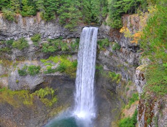
Short walk to a viewing platform over a picture-perfect, 70-meter waterfall.
Easy Hiking
- Distance
- 1.9 km
- Ascent
- 53 m
- Descent
- 53 m
An out-and-back hike along Brandywine Meadows Trail with the option to summit Brandywine Mountain.
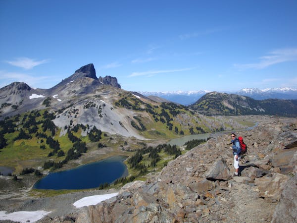
Hiking Difficult
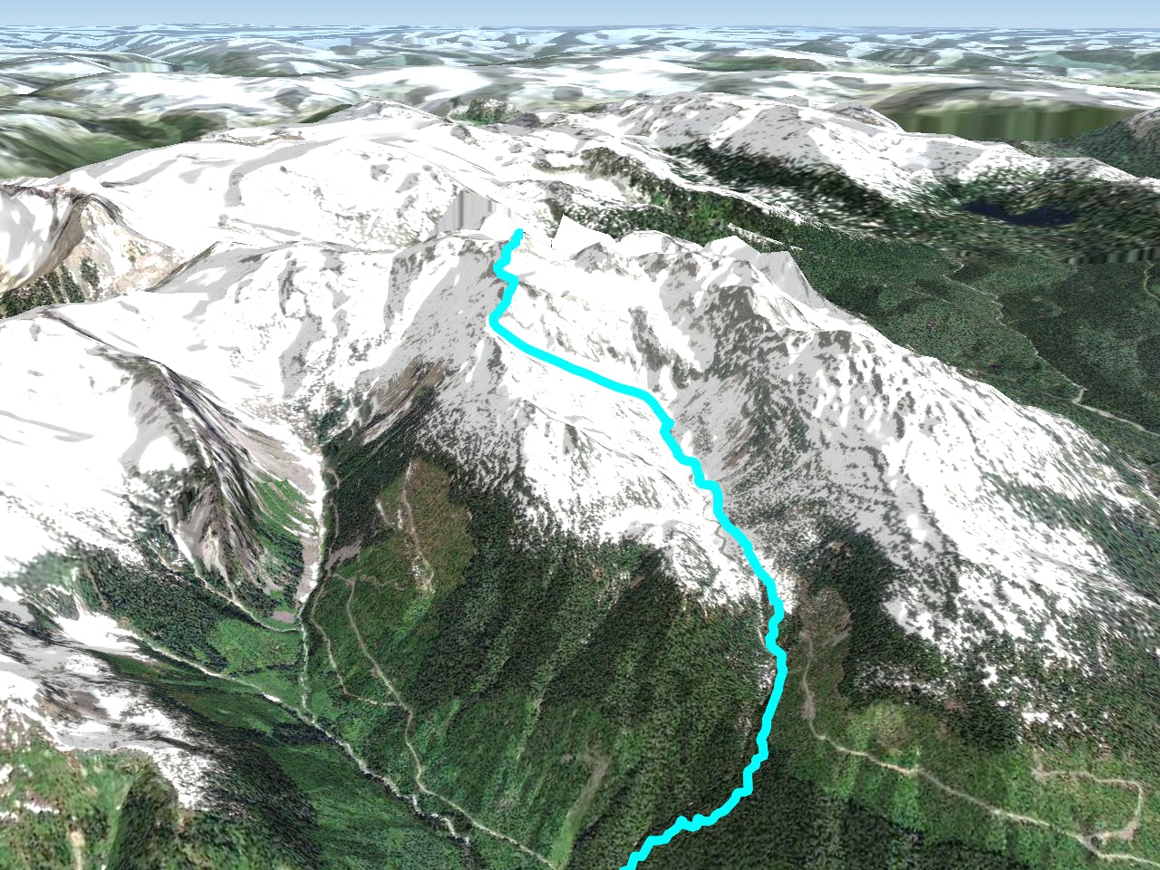
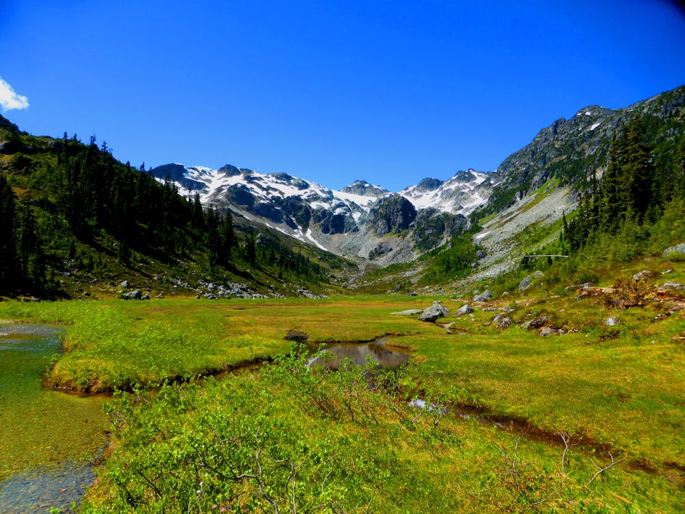
Brandywine Meadows is one of the most spectacular day hikes south of Whistler, offering a beautiful selection of open meadows, summer wildflowers, stunning views, massive glaciers, serene creeks and options to view wildlife along remote portions of the trail. While the lower sections of trail tend to yield more traffic, the upper sections through the alpine terrain are sure to offer plenty of solitude.
Most of the elevation gain occurs in the lower sections of the trail, and if you're up for a ~12-mile round-trip trek to the summit of Brandywine Mountain, you'll earn commanding views from from the mountain's alpine summit. Be sure to check the weather and expect that their could be snow at the highest elevations even into the summer.
Portions of the trail are often muddy, and it's overall length means it's not great for younger or inexperienced hikers. That said, you can always hike out-and-back for a shorter adventure.
Plan a minimum of six hours to reach the summit and return, but don't pass up this stunning trail even if reaching the summit isn't your goal.
Source: vancouvertrails.com
Difficult
Hiking trails where obstacles such as rocks or roots are prevalent. Some obstacles can require care to step over or around. At times, the trail can be worn and eroded. The grade of the trail is generally quite steep, and can often lead to strenuous hiking.

The trail contains some obstacles such as outcroppings and rock which could cause injury.

In the high mountains or remote conditions, all individuals must be completely autonomous in every situation.
6.4 km away
Short walk to a viewing platform over a picture-perfect, 70-meter waterfall.
Easy Hiking
6.4 km away
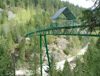
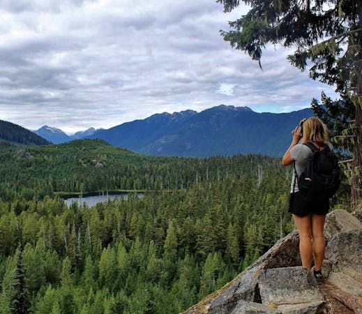
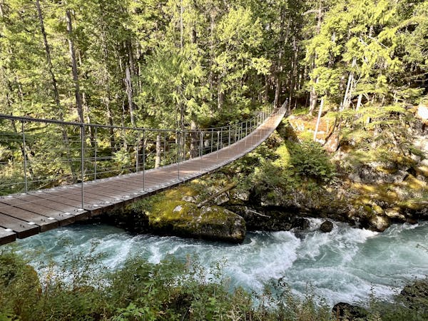
A longer spin on a classic Whistler hike that visits both Brandywine Falls and the Whistler Bungee Bridge.
Moderate Hiking
10 routes · Hiking
3 routes · Hiking
6 routes · Hiking
18 routes · Hiking