5.7 km away
Mt Seymour Hike
A scrambly hike to the summit of Mt. Seymour
Difficult Hiking
- Distance
- 9 km
- Ascent
- 564 m
- Descent
- 565 m
Follow a heavily forested ridge to one of Vancouver's lesser known peaks
Hiking Moderate

From the Lynn Peak Headwaters cross the dam, and take the southern trail heading uphill. A couple hundred meters up this road, a narrower trail heads upwards. You should see a sign for Lynn Peak. It's a slightly steep trail that has become rocky from errosion.

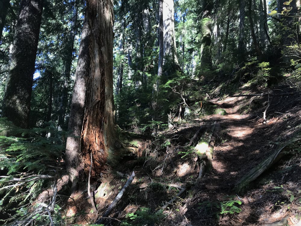
The trails winds up to the poorly named "Lynn Peak" is in fact just a lookout on Lynn Peak. This is a lovely lookout point, but is in no way a peak. Keep heading upwards. Eventually the trail gets to a small bump. The trail is tricky to find here as it is much less travelled.
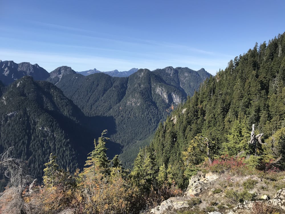
The trail undulates through the woods, and the views are quite limited. Lynn peak much like it's southern subpeak is fairly unremarkable. Descent a short steep section gets to a cross rounds down to the Seymour Valley.
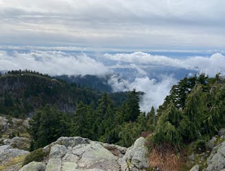
Keep heading upwards through increasinly undulating terrain. It begins to get more rocky, and the views improve. The terrain becomes scrambly hiking through sections of rock. Middle Peak is a mix of trees and alpine. The route can be continued from here to the shorter North Needle, but the scrambling gets much more challenging, into the 3rd class. You can return the way you came, though the descent into Seymour Valley is much nice. Head down until you reach the paved road. Cross the road and head down to the river where you link up with Fisherman's Creek. Follow this until near Rice Lake, then head up hill and follow the signs to Lynn Creek, or the suspension bridge.
Moderate
Hiking along trails with some uneven terrain and small hills. Small rocks and roots may be present.

The path is on completely flat land and potential injury is limited to falling over.

Away from help but easily accessed.
5.7 km away
A scrambly hike to the summit of Mt. Seymour
Difficult Hiking
8.8 km away
Short distance, low elevation, great views
Easy Hiking

7 routes · Hiking · Trail Running

6 routes · Hiking

3 routes · Hiking