6.3 km away
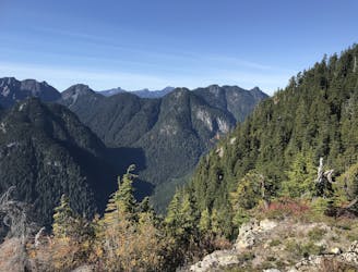
Mt Seymour Hike
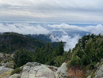
A scrambly hike to the summit of Mt. Seymour
Difficult Hiking
- Distance
- 9 km
- Ascent
- 564 m
- Descent
- 565 m
Short distance, low elevation, great views
Hiking Easy

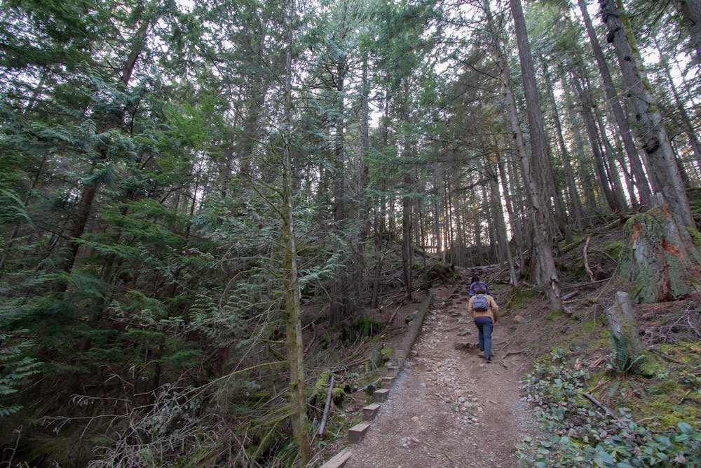
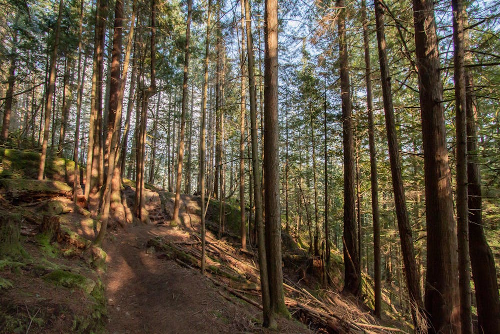
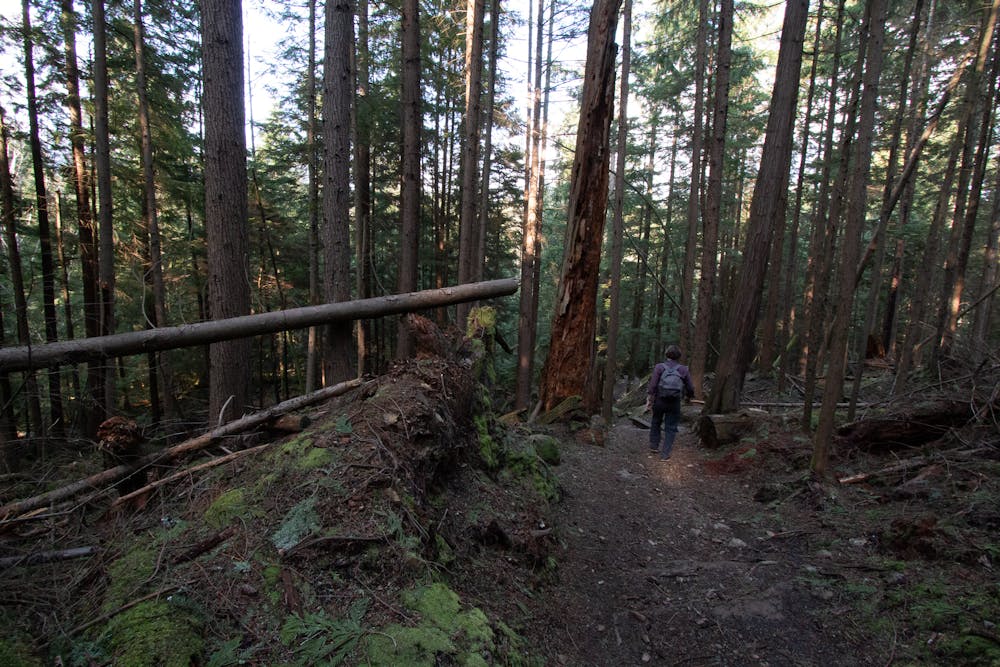
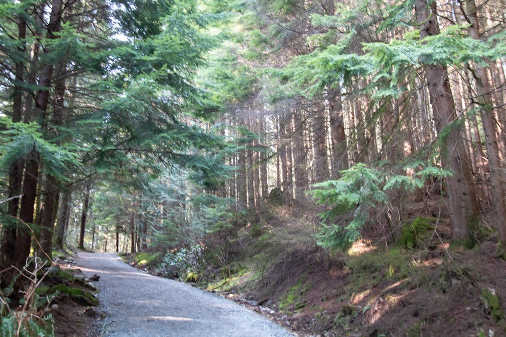
Jug Island Trail isn't one of the greatest adventures in the Lower Mainland, but it is peaceful escape from the city with beautiful old-growth forest in spite of its short length. If you're looking for a quick run, a walk for those with low mobility, or adventure for kids who love to stop and explore, this is a great option. While the route is wide for the most part, there are some stairs to negotiate. The trail follows a ridge that undulates, going up and down on several occasions. This adds a bit of a challenge to an otherwise wide trail. The trail ends at Cosy Cove, just across from the titular Jug Island.
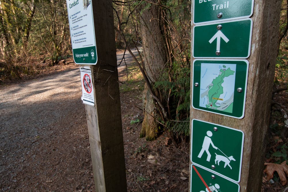
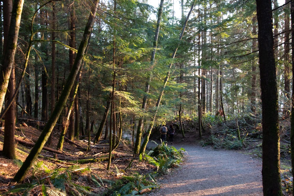

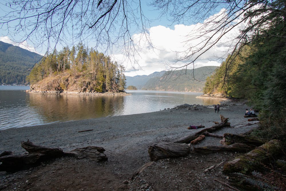

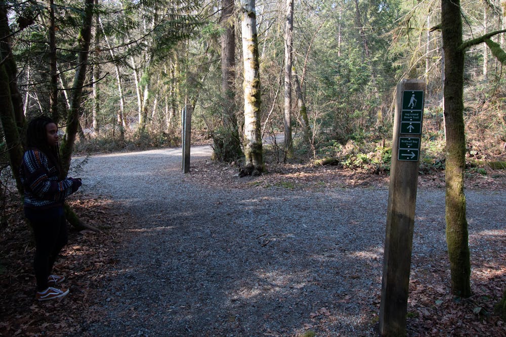
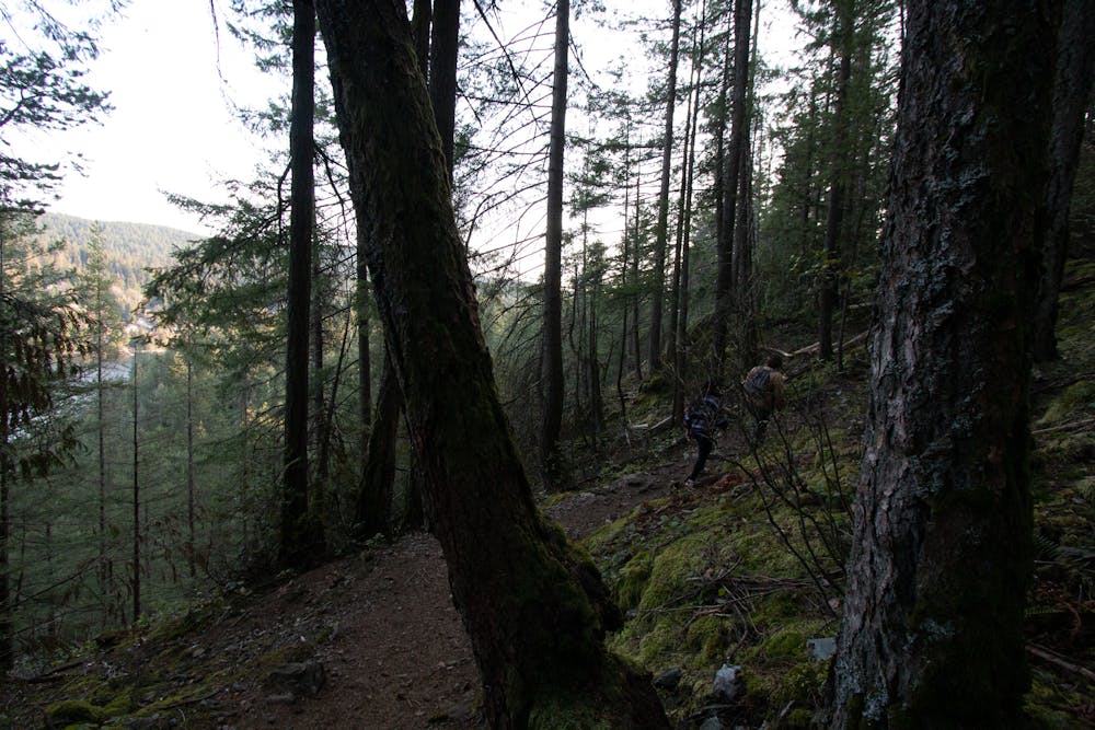
The trailhead is adjacent to the Belcarra Picnic Area to the north. Look for signs beside the treeline around the road.
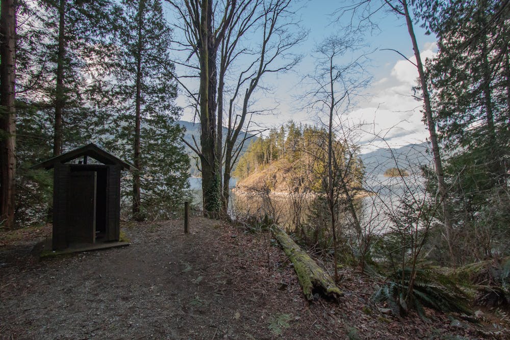
The beach is a lovely spot to hang out but even in the summer it looses sun by 4pm, so expect cooler temperatures.
At very low tides it's possible to wade out to Jug Island and there is a steep trail to it's apex, though the views are mediocre, and the ground very vegitated. There is an outhouse at the beach.
Easy
Walking along a well-kept trail that’s mostly flat. No obstacles are present.

The path is on completely flat land and potential injury is limited to falling over.
Close to help in case of emergency.
6.3 km away
A scrambly hike to the summit of Mt. Seymour
Difficult Hiking
8.8 km away
Follow a heavily forested ridge to one of Vancouver's lesser known peaks
Moderate Hiking
9.1 km away
Get your fix of art and nature in the heart of the city
Easy Hiking

7 routes · Hiking · Trail Running

6 routes · Hiking

3 routes · Hiking